| This is a documentation subpage for Template:Postcode area imagemap. It may contain usage information, categories and other content that is not part of the original template page. |
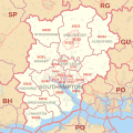
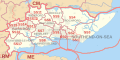
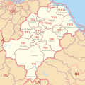
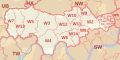
This template displays an imagemap of the postcode districts and post towns in the London postal district or one of the 121 United Kingdom postcode areas (AB to ZE, including BT but excluding the non-UK Crown dependencies of GY, IM and JE).
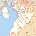
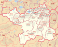
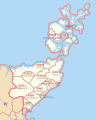
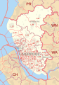
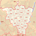
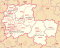
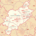
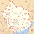
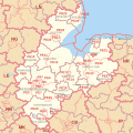
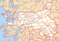
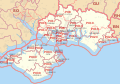
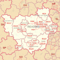
The maps used are File:LONDON post town map.svg and File:AB postcode area map.svg to File:ZE postcode area map.svg. The template overlays each map with polygons corresponding to the adjoining postcode areas. This causes a tooltip and link for the relevant postcode area article to appear when users hover the mouse over an area on the map outside the subject area.
Usage edit
Basic usage:
{{Postcode area imagemap | map=... }}
Extended usage:
{{Postcode area imagemap | map=... | size=... | location=... }}
Parameters edit
- map
- The name of the area:
- where "en" is the postcode area name, one of
XXXX postcode area
- or one of
LONDONLondonLONDON post townLondon post townLONDON postal districtLondon postal district
- where "en" is the postcode area name, one of
- size
- Optional image size, specifying the maximum width and/or height, one of:
maxwidthpxxmaxheightpxmaxwidthxmaxheightpx
- (see Wikipedia:Extended image syntax#Size for syntax details)
- Defaults to
500x500px - Each of the unscaled SVG image files on Wikimedia Commons has the longer side equal to 1000 pixels. So the thickness of lines on two imagemaps from this template will be the same if their longer sides are the same length. But the size of the label text varies because of the greatly varying size of different postcode districts and post towns.
- location
- Optional horizontal thumbnail alignment, one of:
nonefor non-wrapping left-alignedcenterfor non-wrapping centre-alignedleftfor wrapping left-alignedrightfor wrapping right-aligned
- Defaults to
none
See also edit
- {{Postcode areas imagemap}} for a national imagemap of all the postcode areas in the United Kingdom and Crown dependencies
- {{Postcode areas in the United Kingdom}}
- {{Postcode area table start}}
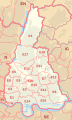
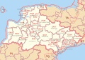
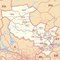
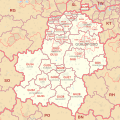
Available maps edit
-
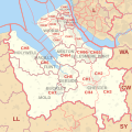
 LONDON post town map
 -
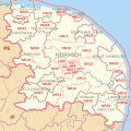
 AB postcode area map
 -
 AL postcode area map
 -
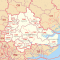
 B postcode area map
 -
 BA postcode area map
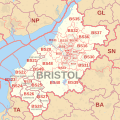
 -
 BB postcode area map
 -
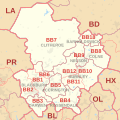
 BD postcode area map
 -
 BH postcode area map
 -
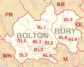 BL postcode area map
 -
 BN postcode area map
 -
 BR postcode area map
 -
 BS postcode area map
 -
 BT postcode area map
 -
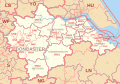
 CA postcode area map
 -
 CB postcode area map
 -
 CF postcode area map
 -
 CH postcode area map
 -
 CM postcode area map
 -
 CO postcode area map
 -
 CR postcode area map
 -
 CT postcode area map
 -
 CV postcode area map
 -
 CW postcode area map
 -
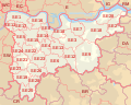
 DA postcode area map
 -
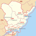 DD postcode area map
 -
 DE postcode area map
 -
 DG postcode area map
 -
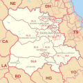
 DH postcode area map
 -
 DL postcode area map
 -
 DN postcode area map
 -
 DT postcode area map
 -
 DY postcode area map
 -
 E postcode area map
 -
 EC postcode area map
 -
 EH postcode area map
 -
 EN postcode area map
 -
 EX postcode area map
 -
 FK postcode area map
 -
 FY postcode area map
 -
 G postcode area map
 -
 GL postcode area map
 -
 GU postcode area map
 -
 HA postcode area map
 -
 HD postcode area map
 -
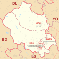 HG postcode area map
 -
 HP postcode area map
 -
 HR postcode area map
 -
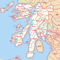
 HS postcode area map
 -
 HU postcode area map
 -
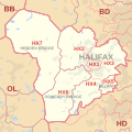 HX postcode area map
 -
 IG postcode area map
 -
 IP postcode area map
 -
 IV postcode area map
 -
 KA postcode area map
 -
 KT postcode area map
 -
 KW postcode area map
 -
 KY postcode area map
 -
 L postcode area map
 -
 LA postcode area map
 -
 LD postcode area map
 -
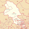
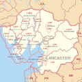
 LE postcode area map
 -
 LL postcode area map
 -
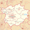
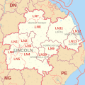 LN postcode area map
 -
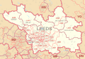 LS postcode area map
 -
 LU postcode area map
 -
 M postcode area map
 -
 ME postcode area map
 -
 MK postcode area map
 -
 ML postcode area map
 -
 N postcode area map
 -
 NE postcode area map
 -
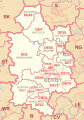
 NG postcode area map
 -
 NN postcode area map
 -
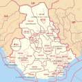
 NP postcode area map
 -
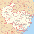
 NR postcode area map
 -
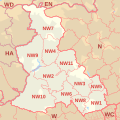 NW postcode area map
 -
 OL postcode area map
 -
 OX postcode area map
 -
 PA postcode area map
 -
 PE postcode area map
 -
 PH postcode area map
 -
 PL postcode area map
 -
 PO postcode area map
 -
 PR postcode area map
 -
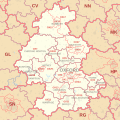
 RG postcode area map
 -
 RH postcode area map
 -
 RM postcode area map
 -
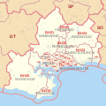
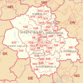 S postcode area map
 -
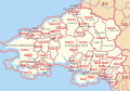 SA postcode area map
 -
 SE postcode area map
 -
 SG postcode area map
 -
 SK postcode area map
 -
 SL postcode area map
 -
 SM postcode area map
 -
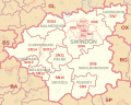 SN postcode area map
 -
 SO postcode area map
 -
 SP postcode area map
 -
 SR postcode area map
 -
 SS postcode area map
 -
 ST postcode area map
 -
 SW postcode area map
 -
 SY postcode area map
 -
 TA postcode area map
 -
 TD postcode area map
 -
 TF postcode area map
 -
 TN postcode area map
 -
 TQ postcode area map
 -
 TR postcode area map
 -
 TS postcode area map
 -
 TW postcode area map
 -
 UB postcode area map
 -
 W postcode area map
 -
 WA postcode area map
 -
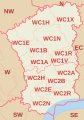 WC postcode area map
 -
 WD postcode area map
 -
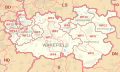 WF postcode area map
 -
 WN postcode area map
 -
 WR postcode area map
 -
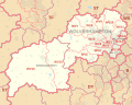
 WS postcode area map
 -
 WV postcode area map
 -
 YO postcode area map
 -
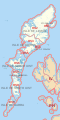
 ZE postcode area map


