Talk:Ohio State Route 633
| Ohio State Route 633 has been listed as one of the Engineering and technology good articles under the good article criteria. If you can improve it further, please do so. If it no longer meets these criteria, you can reassess it. Review: December 5, 2013. (Reviewed version). |
| This article is rated GA-class on Wikipedia's content assessment scale. It is of interest to the following WikiProjects: | ||||||||||||||||||||||||||||||||||||||||
| ||||||||||||||||||||||||||||||||||||||||


Northern end
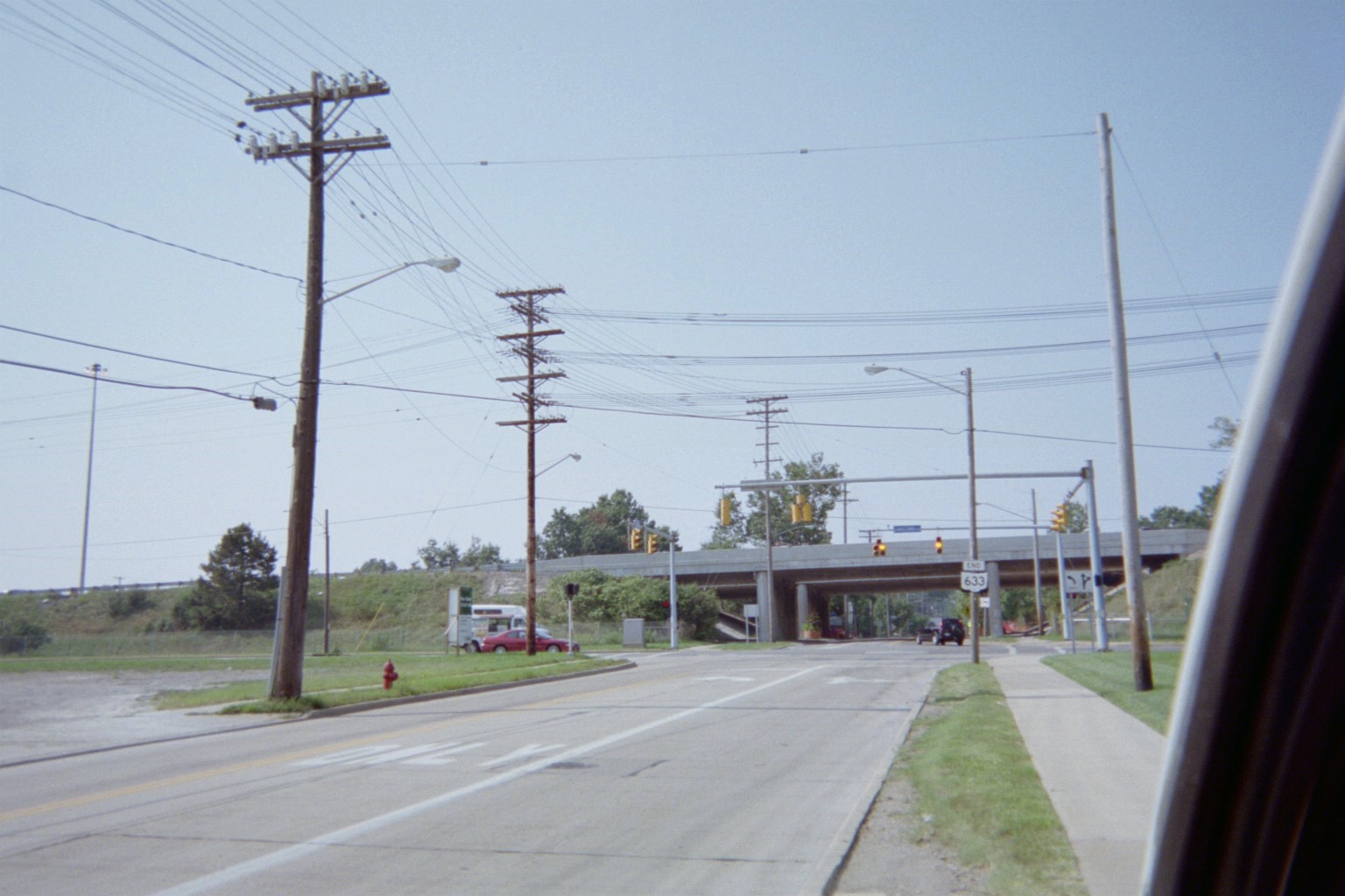
editThe only map that I've showing 633 going all the way to 283 is the index outline in the Lake/Geauga red book; since the actual map page correctly shows the only 633 shield between SR 2 and US 20, we can assume that the index map is in error. (The Cuyahoga red book doesn't identify 633 at all). All ODOT records, plus every map at the ODOT archive, also show it ending at Lakeland Blvd. (pre-freeway alignment of SR-2). That's also where the end sign is. Mapsax (talk) 19:03, 4 April 2008 (UTC)
- I just noticed that Google Maps does this too, but they have a history of misplaced route shields. The ODOT records and signage remain unchanged. Mapsax (talk) 22:28, 21 July 2008 (UTC)
- OK, the "some maps show" comment is making more sense to me, as I just found that the Wickliffe map in the Lake/Geauga Yellow Book (maps by MapInfo) shows Lloyd Road as 633 all the way to the west edge of the map, just into Cuyahoga County. Still, that statement is not necessary since there is enough sourced info to identify its true north end. Mapsax (talk) 18:52, 11 September 2008 (UTC)
GA Review
edit| GA toolbox |
|---|
| Reviewing |
- This review is transcluded from Talk:Ohio State Route 633/GA1. The edit link for this section can be used to add comments to the review.
Reviewer: MusikAnimal (talk · contribs) 04:12, 4 December 2013 (UTC)
This is my first GA review, so I have selected a shorter nominee. I will be thorough and honest in my assessment, and please let me know of any differences in opinion. — MusikAnimal talk 04:12, 4 December 2013 (UTC)
Issues
editLead:
- “
Its northern terminus is also in Wickliffe, this time at a signalized intersection with Lakeland Boulevard...
”
- Please lend your opinion, but I don't much care for the usage of the wording this time. Replacing it with a simple but sounds more appropriate. That being said, I'm no grammar expert.
- Fixed.—– 21:27, 4 December 2013 (UTC)
Under Route description:
- “
... not included in the National Highway System [which are] deemed most important for the economy, mobility, and defense of the nation ...
”
- A few concerns. Perhaps there is no harm in clarifying that, despite its name, State Route 633 is not part of the National Highway System – but I feel it may be getting a little off-subject. It may also lend undue weight toward the national system ("deemed most important"), and lastly the provided reference does not mention any of this.
- Removed.—– 21:27, 4 December 2013 (UTC)
- “
... 6,320 vehicles travel on SR 633 on average every year
”
- I'm confused about the reference here, which appears to be an interactive map. There's a lot of buttons but I don't see any way to reveal travel data. Am I missing something?
- Go to the traffic tab on the left.
- Click the square, and drag over an area (for this case, SR 633)
- Look for SR00633
- Profit.
- Or I could just cite the actual traffic report instead.—– 21:27, 4 December 2013 (UTC)
Under History:
- “
This routing is designated as state highway by the 1932 map
”
- Potential problem with grammar. However minor, it sounds like there should be an a before state highway? I could be wrong.
- Fixed.—– 21:27, 4 December 2013 (UTC)
— MusikAnimal talk 05:41, 4 December 2013 (UTC)
- @MusikAnimal:All fixes done.—– 22:14, 4 December 2013 (UTC)
- Looks good! Let me double check these references and I think we're good to go :) — MusikAnimal talk 15:21, 5 December 2013 (UTC)
this is older than 1946
edithttp://railsandtrails.com/Maps/Ohio1940WPACounty/index.htm --NE2 02:08, 14 April 2017 (UTC)