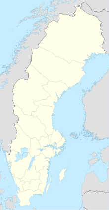
Ronneby Airport (Kallinge) (IATA: RNB, ICAO: ESDF) is located about 4 km (2.5 mi) from Ronneby, Sweden and 30 km (17 mi) from Karlshamn and 30 km (17 mi) from Karlskrona.
Ronneby Airport | |||||||||||
|---|---|---|---|---|---|---|---|---|---|---|---|
 | |||||||||||
| Summary | |||||||||||
| Airport type | Military/Public (Luftfartsverket) | ||||||||||
| Operator | Swedavia | ||||||||||
| Location | Ronneby, Sweden | ||||||||||
| Elevation AMSL | 191 ft / 58 m | ||||||||||
| Coordinates | 56°16′00″N 15°15′54″E / 56.26667°N 15.26500°E | ||||||||||
| Website | www.swedavia.com/ronneby/ | ||||||||||
| Map | |||||||||||
| Runways | |||||||||||
| |||||||||||
| Statistics (2016) | |||||||||||
| |||||||||||
Statistics: Swedavia[1] | |||||||||||
Ronneby airport is south Sweden's (Götaland) 6th biggest airport and the 15th biggest airport in Sweden. The airport had 226,995 passengers in 2011.[1]
Airlines and destinations
editThe following airlines operate regular scheduled and charter flights at Ronneby Airport:
| Airlines | Destinations |
|---|---|
| Braathens Regional Airlines | Stockholm–Bromma[2] |
| Scandinavian Airlines | Stockholm–Arlanda[2] |
Statistics
editGraphs are unavailable due to technical issues. There is more info on Phabricator and on MediaWiki.org. |
Annual passenger traffic at RNB airport.
See Wikidata query.
See also
editReferences
edit- ^ a b "Statistics". Swedavia. Archived from the original on 17 March 2012. Retrieved 17 March 2012.
- ^ a b swedavia.com/ronneby retrieved 29 May 2022
External links
edit

