The Cebu North Road, also known as the Cebu North Hagnaya Wharf Road, is a 108.558-kilometer (67.455 mi) road, the major thoroughfare that connects the city of Cebu[2] to the Port of Hagnaya in the municipality of San Remigio[3][4] in Cebu, Philippines.
.svg) .svg) | |
|---|---|
.jpg) The road in Danao | |
| Route information | |
| Maintained by the Department of Public Works and Highways (DPWH) | |
| Length | 109.443 km[1] (68.005 mi) Includes old section over Polambato River in Bogo |
| Component highways | |
| Major junctions | |
| South end | N. Escario Street in Cebu City |
| |
| North end | |
| Location | |
| Country | Philippines |
| Provinces | Cebu |
| Major cities | Cebu City, Mandaue, Danao, Bogo |
| Towns | Consolacion, Liloan, Compostela, Carmen, Catmon, Sogod, Borbon, Tabogon, San Remigio |
| Highway system | |
| |
The road is a component of National Route 8 (N8) and the lone highway of National Route 810 (N810) of the Philippine highway network. It also forms part of the Central Nautical Highway of the Philippine Nautical Highway System.
Route description edit
True to its name, Cebu North Road connects the capital Cebu City to the northern cities and municipalities of Cebu province. Outside Cebu City, it is alternatively called Cebu North Hagnaya Wharf Road.[1]
Cebu City to Danao edit
.jpg)
Cebu North Road begins at its intersection with N. Escario Street as Osmeña Boulevard, fronting the Cebu Provincial Capitol, in Cebu City.[1] It then turns south towards the Fuente Osmeña Circle, where it turns west as General Maxilom Avenue until the road's intersection with M.J. Cuenco Avenue and Imus Avenue, where the road turns northeast toward the former. It then crosses an intersection with Pope John Paul II Avenue/Juan Luna Avenue (N815).
As the road enters Mandaue, it continues as Lopez-Jaena Street. After going underneath the Subangdaku flyover at an intersection with Hernan Cortes Street, it continues as M.C. Briones Street. It then passes a junction with A.C. Cortes Avenue (N82) with a flyover carrying two-way through-traffic above it. After passing a junction with the United Nations Avenue (N841), it continues as the Cebu North Road. It then traverses the municipalities Consolacion, Liloan (where it begins to follow along the western coast of Cebu), and Compostela and the city of Danao.
Danao to San Remigio edit
.jpg)
At the vicinity of the D.T. Durano Memorial Integrated School past the Danao city proper, the route transitions from N8 to N810. The road then passes through the towns of Carmen, Catmon, Sogod (where it veers away from the western coast to cut through the mountains of Cebu), Borbon, and Tabogon before entering the city Bogo. In Bogo, the road turns west towards San Remigio. At a junction with the Antonio y De Pio Highway (N820) in San Remigio proper, the roads turns north, initially following the northeastern coast of Cebu. It terminates at the Port of Hagnaya, which has ferries linking Cebu island with Santa Fe in Bantayan Island and Cawayan in Masbate.
History edit
The entire road historically forms part of Cebu Island's Highway 1 or Route 1 during the 20th century.[5][6]
The road's eastern section in Cebu City was historically known as Calle Enrile (in honor of Governor-General Pasqual Enrile y Alcedo) and later Calle de los Martires (for being the site where Katipuneros and civilians were ordered killed after the Battle of Tres de Abril in 1898). On March 23, 1964, it was renamed to M.J. Cuenco Avenue after Cebuano politician Mariano Jesús Cuenco, by virtue of City Ordinance No. 462.[7]
Intersections edit
Intersections are numbered by kilometer posts, with Cebu Provincial Capitol in Cebu City designated as kilometer zero.
| Province | City/Municipality | km | mi | Destinations | Notes |
|---|---|---|---|---|---|
| Cebu City | 0 | 0.0 | N. Escario Street | Southern terminus | |
| 0.88 | 0.55 | Roundabout | |||
| 3.6 | 2.2 | ||||
| Mandaue | 7.2 | 4.5 | Crossing traffic is carried by Maguikay Flyover. | ||
| 8.27 | 5.14 | ||||
| Cebu | Liloan | 8.22 | 5.11 | ||
| Danao | 33.45 | 20.78 | Route change from N8 to N810 | ||
| San Remigio | 107.05 | 66.52 | |||
| 109.34 | 67.94 | Northern terminus | |||
1.000 mi = 1.609 km; 1.000 km = 0.621 mi
| |||||
References edit
- ^ a b c "Road and Bridge Inventory". Department of Public Works and Highways. Retrieved June 29, 2023.
- ^ "Cebu City". Department of Public Works and Highways. Archived from the original on October 5, 2018. Retrieved January 27, 2019.
- ^ "Cebu 1st". Department of Public Works and Highways. Archived from the original on October 11, 2018. Retrieved January 27, 2019.
- ^ "Cebu 5th". Department of Public Works and Highways. Archived from the original on October 8, 2018. Retrieved January 27, 2019.
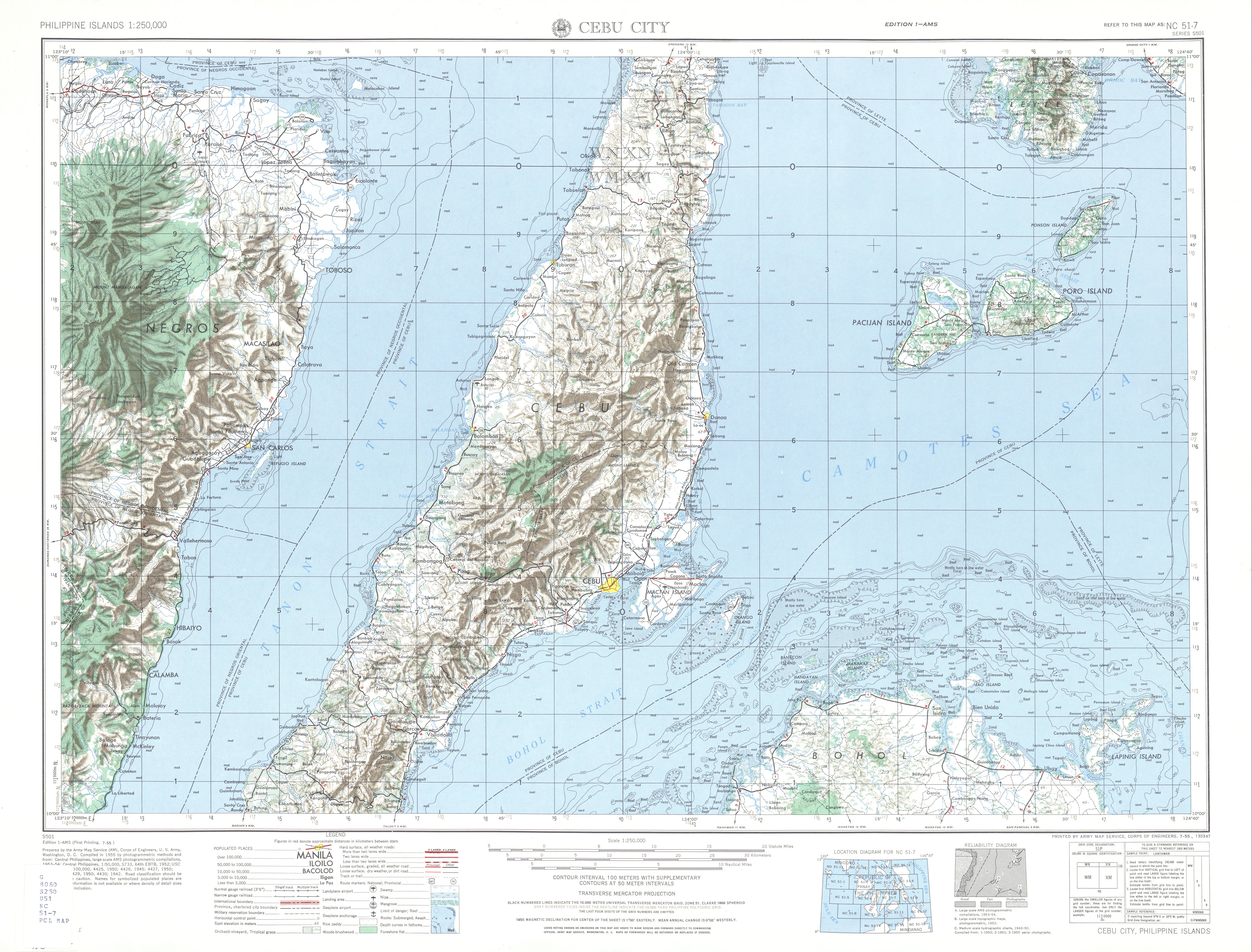
- ^ NC 51-7 Cebu City (Map). 1:250,000. Washington D.C.: Army Map Service, Corps of Engineers. 1954. Retrieved June 29, 2023.
- ^ NC 51-3 Bogo (Map). 1:250,000. Washington D.C.: Army Map Service, Corps of Engineers. 1954. Retrieved June 29, 2023.
- ^ Oaminal, Clarence Paul (September 2, 2013). "M.J. Cuenco Avenue, Cebu City". The Freeman. Retrieved June 30, 2023.