This article is within the scope of WikiProject Canada Streets, a project which is currently considered to be inactive.Canada StreetsWikipedia:WikiProject Canada StreetsTemplate:WikiProject Canada StreetsCanada Streets articles
This article is within the scope of WikiProject Canada, a collaborative effort to improve the coverage of Canada on Wikipedia. If you would like to participate, please visit the project page, where you can join the discussion and see a list of open tasks.CanadaWikipedia:WikiProject CanadaTemplate:WikiProject CanadaCanada-related articles
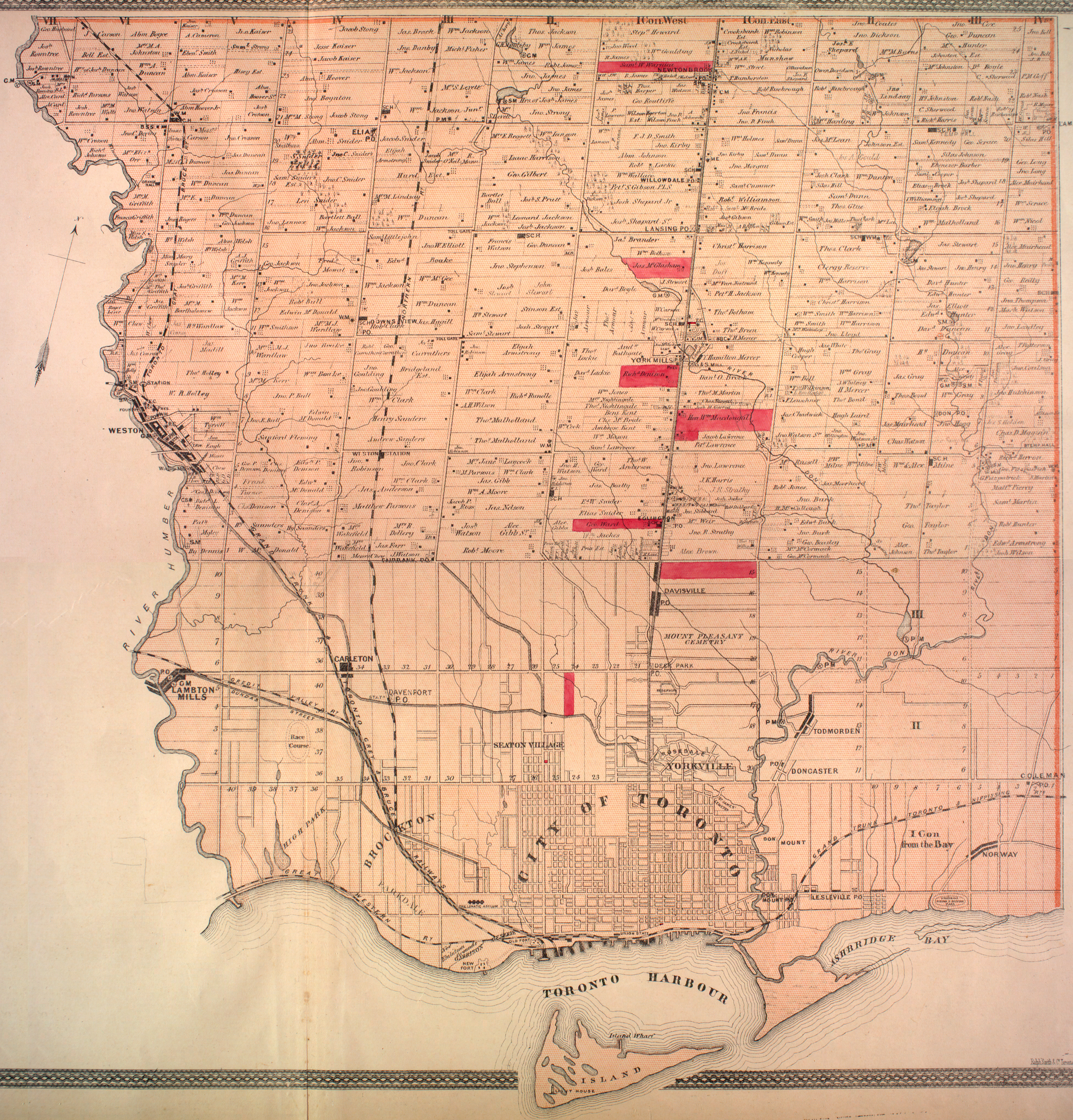
In central Toronto, I believe Finch to have been a "sideroad" and not a concession road. South of Eglinton concession roads ran E-W. North of Eglinton is on a different survey, and concessions run in a S-N direction. Looking at the 1878 map, you can see the concession numbers clearly. Finch is the sideroad between lots 20 and 21 York Township. https://digital.library.mcgill.ca/countyatlas/Images/Maps/TownshipMaps/yor-m-york-n.jpgFeldercarb (talk) 03:34, 28 January 2018 (UTC)Reply

