56°06′36″N 3°14′06″W / 56.110°N 3.235°W


Raith (Scottish Gaelic: ràth, "fort" or "fortified residence"), as an area of Fife, once stretched from the lands of Little Raith (earlier Wester Raith[1]), south of Loch Gelly, as far as Kirkcaldy[2] and the Battle of Raith was once theorised to have been fought here in 596 AD.[3] Raith Hill, west of Auchtertool and immediately to the east of the Mossmorran fractionation plant, may also be in reference to this wider area or may refer to an actual fort on this hill, distinct to the one naming the area.[4]
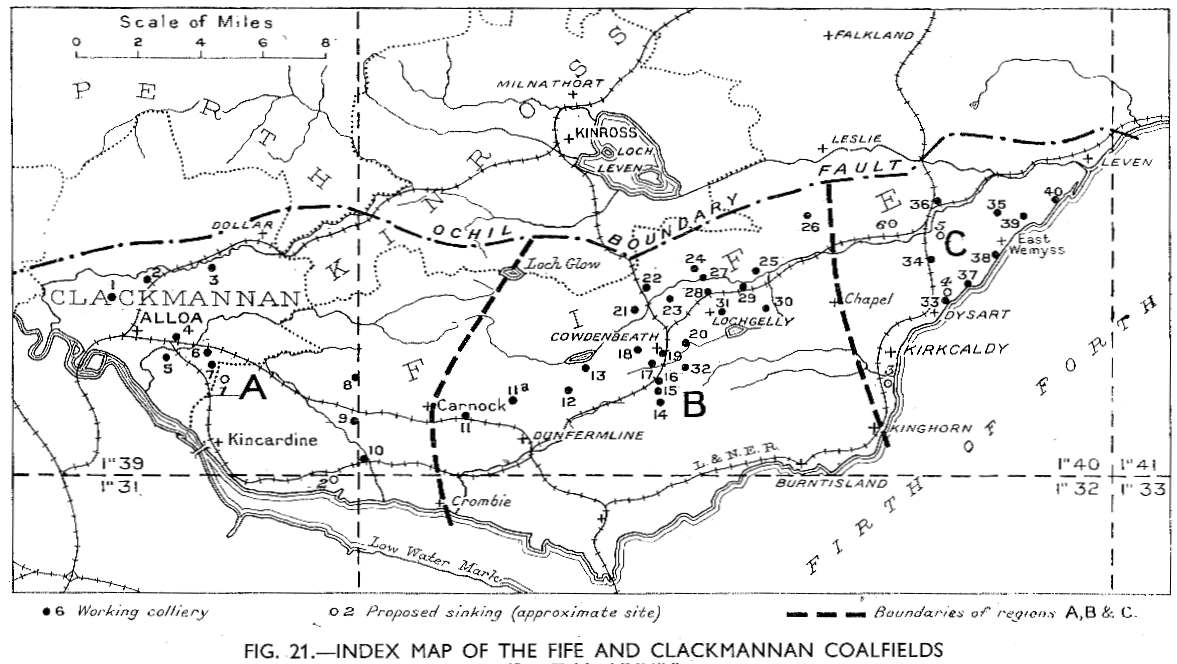
The name is found in Kirkcaldy's professional football team, Raith Rovers. This name was earlier borne by an entirely distinct team, probably named for the Little Raith colliery, east of Cowdenbeath,[5][6] which merged with Cowdenbeath Rangers to form Cowdenbeath F. C.[7][8]
Raith House[9] and the 19th-century folly Raith Tower sit on Cormie Hill to the west of Kirkcaldy.[10][11][12][13] The former was designed by James Smith in the Palladian style in the 1690s, remodelled and extended by James Playfair in the 1780s and the library and garden remodelled in 1899 by Robert Lorimer.[14][15][16][17] To the southeast, the artificial Raith Lake was formed by the damming of the Dronachy Burn in 1811 and 1812.[14][18][19][20] From the late nineteenth century onwards, tracts of land of the Raith Estate were sold off and developed for housing and to form the town's Beveridge Park, expanding Kirkcaldy westwards.[14] The modern housing estate bearing the Raith name dates from the latter part of the 20th century, long after the origins of the football team.
See also edit
References edit
- ^ Taylor, Simon; Gilbert Markus (2006). The Place-Names of Fife, Volume One. Shaun Tyas. p. 108. ISBN 1-900289-77-6.
- ^ Taylor, Simon; Gilbert Markus (2006). The Place-Names of Fife, Volume One. Shaun Tyas. p. 496. ISBN 1-900289-77-6.
- ^ Kirkcaldy Civic Society (2007). Kirkcaldy Remembered, 2nd edition. ISBN 978-1-84588-386-7.
- ^ Taylor, Simon; Gilbert Markus (2006). The Place-Names of Fife, Volume One. Shaun Tyas. p. 129. ISBN 1-900289-77-6.
- ^ "Scottish Mining Website 1944 List of Mines". Scottishmining.co.uk. 4 February 2012. Retrieved 24 March 2016.
- ^ "Map of the Fife and Clackmannan Coalfields" (JPG). scottishmining.co.uk. Archived (JPG) from the original on 19 April 2017. Retrieved 7 March 2023.
- ^ "Cowdenbeath - Historical Football Kits". Historicalkits.co.uk. Retrieved 24 March 2016.
- ^ Scottish Mining Website (15 January 2016). "Auchtertool - Scottish Mining Website". Scottishmining.co.uk. Retrieved 24 March 2016.
- ^ "Raith (Raith House)". Ordnance Gazetteer of Scotland: A Survey of Scottish Topography, Statistical, Biographical and Historical. Gazetteer for Scotland. Retrieved 24 March 2016.
- ^ Historic Environment Scotland. "Raith Estate, Cormie Hill, Raith Tower (52961)". Canmore.
- ^ Stuff, Good. "Raith Estate, Raith Tower, Cormie Hill, Burntisland, Kinghorn and Western Kirkcaldy, Fife". britishlistedbuildings.co.uk.
- ^ "Raith House | Canmore". canmore.org.uk.
- ^ "Fife Place-name Data :: Cormie Hill". fife-placenames.glasgow.ac.uk.
- ^ a b c Gardens (en), Parks and. "Raith Park And Beveridge Park - Kirkcaldy". Parks & Gardens.
- ^ "Raith from The Gazetteer for Scotland". www.scottish-places.info.
- ^ Dictionary of Scottish Architects: Robert Lorimer
- ^ Kirkcaldy's Famous Folk, Volume 3. Kirkcaldy Civic Society. 2000. p. 13.
- ^ "Statistical Accounts of Scotland". stataccscot.edina.ac.uk.
- ^ Historic Environment Scotland. "RAITH PARK AND BEVERIDGE PARK (GDL00323)".
- ^ "Proceedings of the Royal Physical Society of Edinburgh". 1894. p. 56.
External links edit
- History of the county of Fife: from the earliest period to the present time, pp 150–155
- A Descriptive and Historical Gazetteer of the Counties of Fife, Kinross, and Clackmannan, p62-63
- The Raitt Stuff, self-published website containing quotes from various publications and historical documents, in regard to Raith House and its estate
This Fife location article is a stub. You can help Wikipedia by expanding it. |