Franklin Township is one of twelve townships in Harrison County, Indiana, United States. As of the 2020 census, its population was 4,161 and it contained 1,728 housing units.[1]
Franklin Township | |
|---|---|
 Location in Harrison County | |
| Coordinates: 38°14′23″N 86°00′20″W / 38.23972°N 86.00556°W | |
| Country | United States |
| State | Indiana |
| County | Harrison |
| Government | |
| • Type | Indiana township |
| Area | |
| • Total | 34.91 sq mi (90.4 km2) |
| • Land | 34.89 sq mi (90.4 km2) |
| • Water | 0.02 sq mi (0.05 km2) 0.06% |
| Elevation | 830 ft (253 m) |
| Population (2020) | |
| • Total | 4,161 |
| • Density | 120/sq mi (46/km2) |
| GNIS feature ID | 0453303 |
| Census | Pop. | Note | %± |
|---|---|---|---|
| 1890 | 1,602 | — | |
| 1900 | 1,599 | −0.2% | |
| 1910 | 1,467 | −8.3% | |
| 1920 | 1,458 | −0.6% | |
| 1930 | 1,347 | −7.6% | |
| 1940 | 1,309 | −2.8% | |
| 1950 | 1,439 | 9.9% | |
| 1960 | 1,736 | 20.6% | |
| 1970 | 1,952 | 12.4% | |
| 1980 | 2,872 | 47.1% | |
| 1990 | 3,087 | 7.5% | |
| 2000 | 3,642 | 18.0% | |
| 2010 | 4,104 | 12.7% | |
| 2020 | 4,161 | 1.4% | |
| Source: US Decennial Census[2] | |||
Geography edit
According to the 2010 census, the township has a total area of 34.91 square miles (90.4 km2), of which 34.89 square miles (90.4 km2) (or 99.94%) is land and 0.02 square miles (0.052 km2) (or 0.06%) is water.[3] The streams of Lazy Creek, Little Indian Creek, Smith Creek and Woertz Creek run through this township.
Cities and towns edit
Unincorporated towns edit
(This list is based on USGS data and may include former settlements.)
Adjacent townships edit
- Georgetown Township, Floyd County (northeast)
- Franklin Township, Floyd County (east)
- Posey Township (southeast)
- Webster Township (southwest)
- Harrison Township (west)
- Jackson Township (northwest)
Cemeteries edit
The township contains one cemetery, Lanesville.
Major highways edit
Airports and landing strips edit
- Greenridge KLA Airport
- Lanesville Skyways Airport
References edit
- "Franklin Township, Harrison County, Indiana". Geographic Names Information System. United States Geological Survey, United States Department of the Interior. Retrieved September 24, 2009.
- United States Census Bureau cartographic boundary files
- ^ "Explore Census Data". data.census.gov. Retrieved April 11, 2024.
- ^ "Township Census Counts: STATS Indiana".
- ^ "Population, Housing Units, Area, and Density: 2010 - County -- County Subdivision and Place -- 2010 Census Summary File 1". United States Census. Archived from the original on February 12, 2020. Retrieved May 10, 2013.
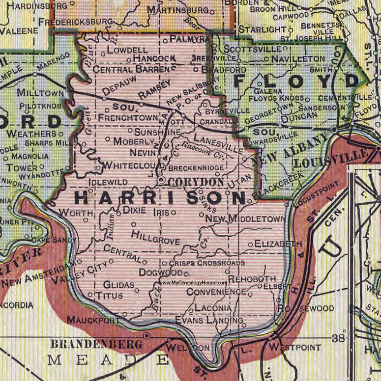
- ^ https://www.mygenealogyhound.com/maps/indiana-maps/IN-Harrison-County-Indiana-1908-map.jpg
External links edit
This Harrison County, Indiana location article is a stub. You can help Wikipedia by expanding it. |