De Puollen (Dutch: De Poelen; Dutch pronunciation: [də ˈpu.lə(n)]) is a hamlet in the Dutch municipality of Waadhoeke in the province of Friesland. It is located to the south of Deinum and on the east side of Dronryp, of which it is a part administratively. The Puolfeart (Dutch: Poelvaart) flows through the hamlet and its surrounding polder. This canal forms the heart of the hamlet, which consists of scattered residences on the Puoldyk.
De Puollen
De Poelen (Dutch) | |
|---|---|
 Eponymous windmill De Poelen near the hamlet | |
 De Puollen Location in the province of Friesland in the Netherlands  De Puollen De Puollen (Netherlands) | |
| Coordinates: 53°11′23″N 5°40′15″E / 53.18975°N 5.67085°E | |
| Country | Netherlands |
| Province | Friesland |
| Municipality | Waadhoeke |
| Village | Dronryp |
| Elevation | 0.5 m (1.6 ft) |
| Time zone | UTC+1 (CET) |
| • Summer (DST) | UTC+2 (CEST) |
| Postcode | 9035 |
| Area code | 0517 |
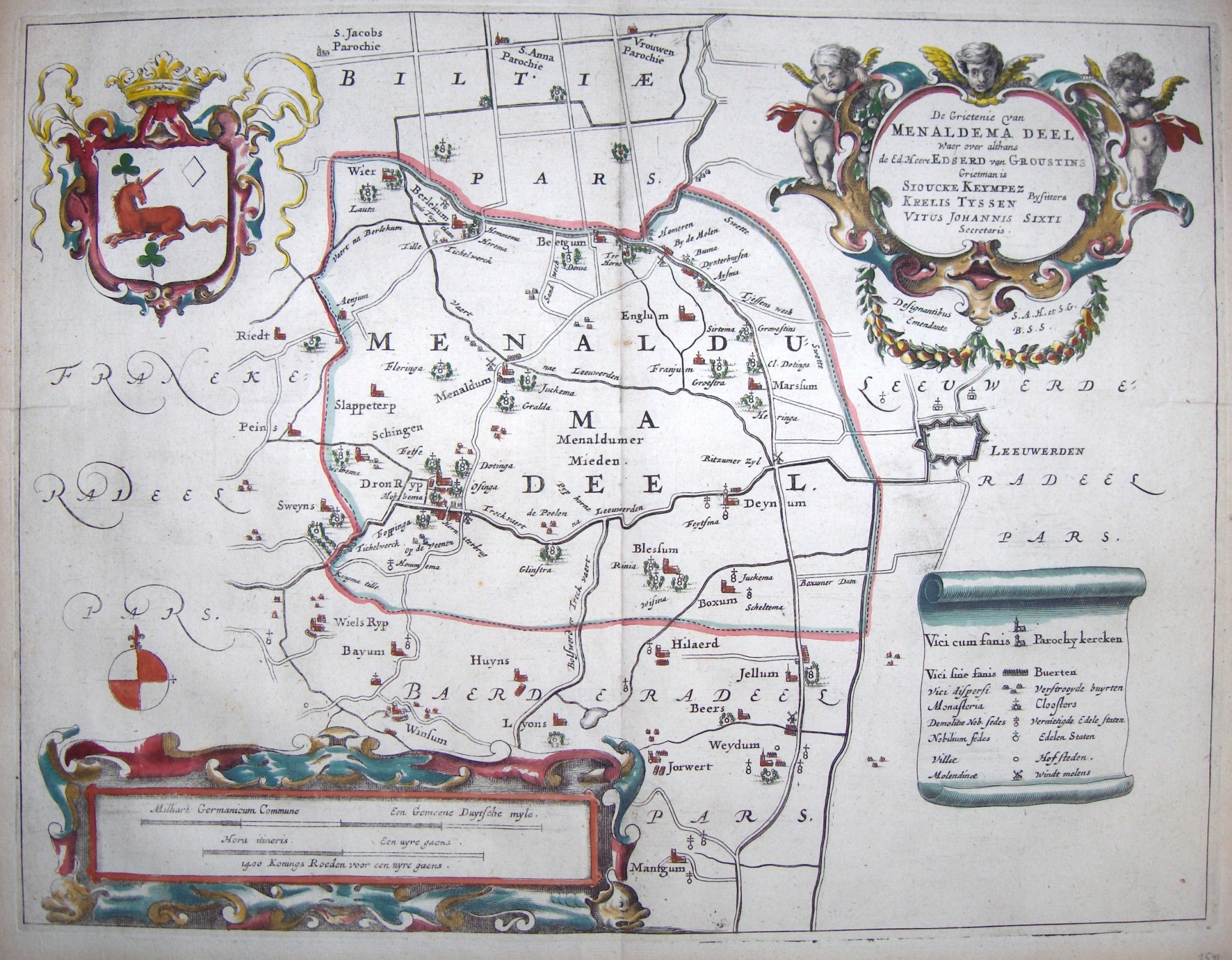
The polder was called Oosterpolder for a while, but later received the name of the hamlet. The polder was drained by the De Poelen polder mill. The area of De Puollen was described in Latin in 1450 as terra situata in da Polum. In 1483 people speak of someone who lived in Poland.[2] In the sixteenth century there was a real hamlet and it was mentioned as Puelen and Poelen. A century later people speak of De Poelen.[3] The place name could also refer to the fact that it was a watery area (a 'pool').[4]
Currently located in the municipality of Waadhoeke, De Puollen belonged to Menameradiel until the municipal reorganization of 2018. Having been part of Menameradiel, the hamlet's official name is in West Frisian since 2010, as opposed to the Dutch variant.[5]
References
edit- ^ "Postcodetool for 9035VC". Actueel Hoogtebestand Nederland (in Dutch). Het Waterschapshuis. Retrieved 6 October 2023.
- ^ Van Berkel, Gerard; Samplonius, Kees (2018). Nederlandse plaatsnamen verklaard (in Dutch). Mijnbestseller.nl. ISBN 9789463679176.
- ^ Schotanus, Bernardus (1664). "Friese grietenij landkaarten van Bernardus Schotanus 1664 / Friesland 'county' maps 1664 - Menaldemadeel". Schotanus.us. Retrieved 6 October 2023.
- ^ Gildemacher, Karel F. (2007). Friese plaatsnamen: alle steden, dorpen en gehuchten (in Dutch). Leeuwarden: Friese Pers/Noordboek. ISBN 9789033006432.
- ^ "Klacht over het gebruik van vernederlandste Friese plaatsnamen". Omroep Ombudsman (in Dutch). 7 March 2017. Retrieved 6 October 2023.