Bloomsbury is a town and coastal locality in the Mackay Region, Queensland, Australia.[2][3] In the 2016 census, the locality of Bloomsbury had a population of 598 people.[1]
| Bloomsbury Queensland | |||||||||||||||
|---|---|---|---|---|---|---|---|---|---|---|---|---|---|---|---|
 Bloomsbury | |||||||||||||||
| Coordinates | 20°42′22″S 148°35′41″E / 20.7061°S 148.5947°E | ||||||||||||||
| Population | 598 (2016 census)[1] | ||||||||||||||
| • Density | 1.3779/km2 (3.569/sq mi) | ||||||||||||||
| Postcode(s) | 4799 | ||||||||||||||
| Area | 434.0 km2 (167.6 sq mi) | ||||||||||||||
| Time zone | AEST (UTC+10:00) | ||||||||||||||
| Location |
| ||||||||||||||
| LGA(s) | Mackay Region | ||||||||||||||
| State electorate(s) | Whitsunday | ||||||||||||||
| Federal division(s) | Dawson | ||||||||||||||
| |||||||||||||||
Geography edit
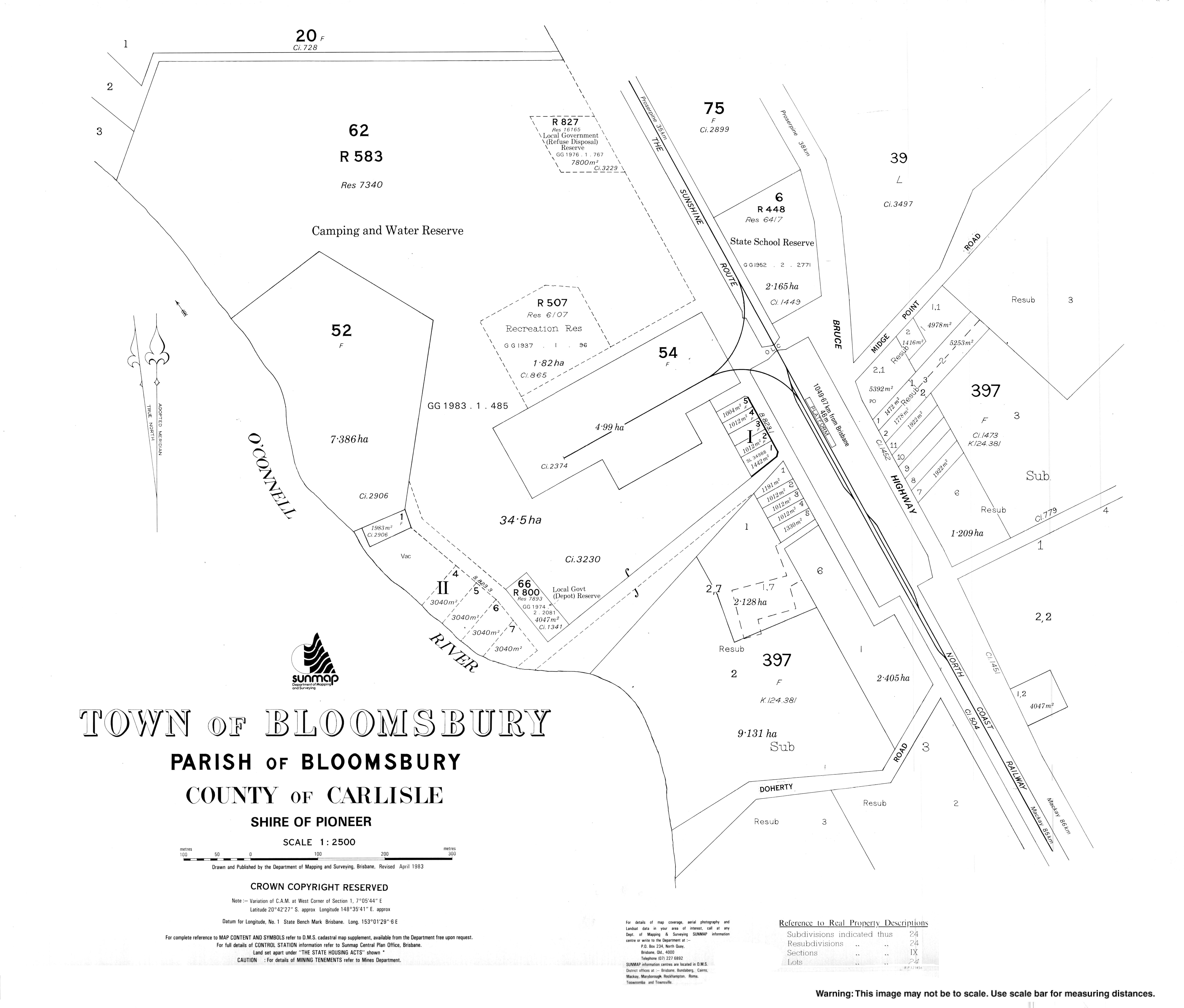
The Bruce Highway traverses the locality from south to north, passing through the town which is approximately in the centre of the locality. The North Coast railway also traverses the locality from south to north, running mostly parallel and immediately west of the highway, with the town serviced by the Bloomsbury railway station.[4][5]
The Cathu State Forest is in the south-west of the locality. Apart from that, the locality is a mixture of low-lying farming land, mostly used for sugarcane. There is a cane tramway through the locality to transport the harvested sugarcane to the local sugar mills. Other parts of the locality are mountainous and undeveloped.[4]
History edit
The town presumably takes its name from the parish of the same name, which in turn was named after the cattle station founded by W. Macartney.[6]
Bloomsbury State School opened on 16 May 1927.[7]
A postal receiving office opened at Bloomsbury around 1896, became a post office in March 1909, and closed around 1916. A second receiving office opened around 1925, became a post office in March 1926 and closed around 1993.[8]
In the 2016 census, the locality of Bloomsbury had a population of 598 people.[1]
Education edit
Bloomsbury State School is a government primary (Prep-6) school for boys and girls at 8545 Bruce Highway (20°42′10″S 148°35′44″E / 20.7028°S 148.5955°E).[9][10] In 2016, the school had an enrolment of 80 students with 7 teachers (5 full-time equivalent) and 6 non-teaching staff (3 full-time equivalent).[11] In 2018, the school had an enrolment of 49 students with 5 teachers (3 full-time equivalent) and 8 non-teaching staff (3 full-time equivalent).[12] The school draws its students from both the Bloomsbury and adjacent Midge Point localities.[11]
There are no secondary schools in Bloomsbury. The nearest government secondary schools are Calen District State College in Calen to the south-east and Proserpine State High School in Proserpine to the north.[4]
Amenities edit
The Mackay Regional Council operates a mobile library service on a fortnightly schedule at the Bruce Highway near the school.[13][14]
Attractions edit
Clarke Range Lookout is at the end of the Cathu Cauley Road (20°49′21″S 148°32′29″E / 20.8225°S 148.5413°E).[15][4] The lookout provides excellent views of the Whitsunday Coast.[16]
References edit
- ^ a b c Australian Bureau of Statistics (27 June 2017). "Bloomsbury (SSC)". 2016 Census QuickStats. Retrieved 20 October 2018.
- ^ "Bloomsbury – town in Mackay Region (entry 3220)". Queensland Place Names. Queensland Government. Retrieved 27 December 2020.
- ^ "Bloomsbury – locality in Mackay Region (entry 46764)". Queensland Place Names. Queensland Government. Retrieved 27 December 2020.
- ^ a b c d "Queensland Globe". State of Queensland. Retrieved 4 April 2021.
- ^ "Bloomsbury – railway station in Mackay Region (entry 3222)". Queensland Place Names. Queensland Government. Retrieved 27 October 2017.
- ^ "District Place Names". Daily Mercury. Vol. 56, no. 562. Queensland, Australia. 9 December 1922. p. 8. Retrieved 7 September 2023 – via National Library of Australia.
- ^ "Opening and closing dates of Queensland Schools". Queensland Government. Retrieved 18 April 2019.
- ^ "Bloomsbury". Post Office Reference. Phoenix Auctions. Archived from the original on 4 April 2021. Retrieved 20 March 2021.
- ^ "State and non-state school details". Queensland Government. 9 July 2018. Archived from the original on 21 November 2018. Retrieved 21 November 2018.
- ^ "Bloomsbury State School". Archived from the original on 1 April 2020. Retrieved 21 November 2018.
- ^ a b "2016 Annual Report" (PDF). Bloomsbury State School. Archived from the original (PDF) on 26 October 2017. Retrieved 27 October 2017.
- ^ "ACARA School Profile 2018". Australian Curriculum, Assessment and Reporting Authority. Archived from the original on 27 August 2020. Retrieved 28 January 2020.
- ^ "Libraries: Contact/Opening Hours". Mackay Regional Council. Archived from the original on 1 March 2016. Retrieved 28 April 2017.
- ^ "Mobile Library Timetable 2017" (PDF). Mackay Regional Council. Archived from the original (PDF) on 1 March 2017. Retrieved 8 May 2017.
- ^ "Tourist points - Queensland". Queensland Open Data. Queensland Government. 18 November 2020. Archived from the original on 24 November 2020. Retrieved 24 November 2020.
- ^ "Cathu State Forest". Tourism & Events Queensland . Archived from the original on 4 April 2021. Retrieved 4 April 2021.