This is a catalogue of photographs that I have taken of Singapore geographical features, infrastructure and buildings in my leisure time. All images shown may be used anywhere in Wikipedia. Do drop me a note at my talk page if you intend to use them for other purposes. Thanks!
Bukit Merah Planning Area
edit
-
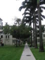
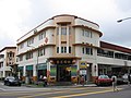
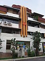
 Bukit Ho Swee
 -
 Bukit Ho Swee


-
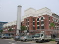
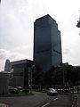
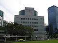
 HarbourFront Tower One and Keppel Bay Tower
 -
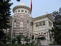
 Saint James Power Station
 -
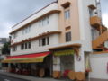
 Seah Im Food Centre
 -
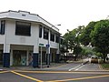
 Telok Blangah Road
 -
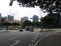
 West Coast Highway


Havelock Road
edit-
 86, Zion Road Food Centre
 -
 86, Zion Road Food Centre
 -
 Alexandra Canal
 -
 Holiday Inn Atrium Singapore Hotel
 -
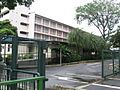
 The Boys' Brigade Campus


-
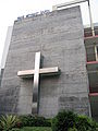
 Danish Seamen's Church
 -
 Danish Seamen's Church
 -
 Danish Seamen's Church
 -
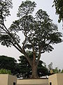
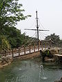
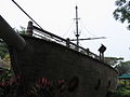
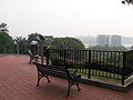
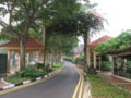
 Faber Point
 -
 Faber Point
 -
 Faber Point
 -
 Faber Point
 -
 Faber Point
 -
 Faber Point
 -
 Faber Point
 -
 Faber Point
 -
 Grace Methodist Church
 -
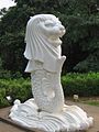
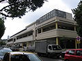
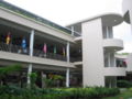
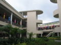
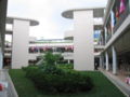
 Marina Deck
 -
 Marina Deck
 -
 Marina Deck
 -
 Marina Deck
 -
 Marina Deck
 -
 Marina Deck
 -
 Morse Road
 -
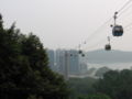 Mount Faber Cable Car Station
 -
 Mount Faber Cable Car Station
 -
 Mount Faber Cable Car Station
 -
 Mount Faber Loop
 -
 Mount Faber Loop
 -
 Mount Faber Loop
 -
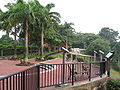
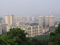
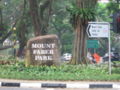 Mount Faber Park
 -
 Mount Faber Park
 -
 Mount Faber Park
 -
 Mount Faber Park
 -
 Mount Faber Park
 -
 Mount Faber Park
 -
 Mount Faber Park
 -
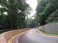
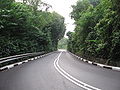
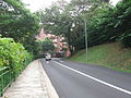 Mount Faber Road
 -
 Mount Faber Road
 -
 Mount Faber Road
 -
 Mount Faber Road
 -
 Mount Faber Road
 -
 Pender Road
 -
 Pender Road
 -
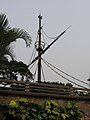
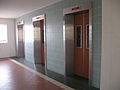
 Telecoms Station
 -
 The Jewel Box
 -
 Wishart Road
 -
 Wishart Road


-
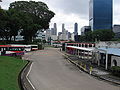 New Bridge Road Bus Terminal
 -
 Outram Road & Cantonment Road
 -
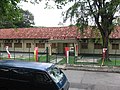
 Police Cantonment Complex
 -
 Police Cantonment Complex
 -
 Police Cantonment Complex
 -
 Police Cantonment Complex


-
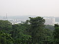
 Pulau Brani
 -
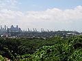 Keppel Harbour


-
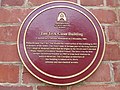
 College of Medicine Building
 -
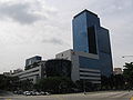
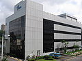
 Health Promotion Board
 -
 Health Promotion Board
 -
 Health Promotion Board
 -
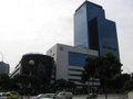
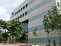
 Health Sciences Authority
 -
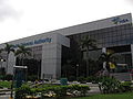 Health Sciences Authority
 -
 National Cancer Centre
 -
 National Dental Centre
 -
 Singapore General Hospital
 -
 Block 11, Singapore General Hospital
 -
 Bowyer Block, Singapore General Hospital
 -
 Tan Teck Guan Building
 -
 Tan Teck Guan Building
 -
 Tan Teck Guan Building


-

-

-
-
 Kampong Bahru Road


-
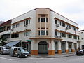
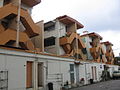
 Tiong Bahru, Lim Liak Street
 -
 Tiong Bahru, Lim Liak Street
 -
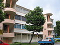 Tiong Bahru, Lim Liak Street
 -
 Tiong Bahru, Lim Liak Street
 -
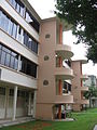 Tiong Bahru, Lim Liak Street
 -
 Tiong Bahru, Lim Liak Street
 -
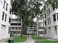 Tiong Bahru, Lim Liak Street
 -
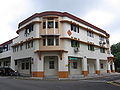
 Tiong Bahru, Eng Hoon Street
 -
 Tiong Bahru, Eng Hoon Street
 -
 Tiong Bahru, Tiong Poh Road
 -
 Tiong Bahru, Tiong Poh Road
 -
 Tiong Bahru, Seng Poh Lane
 -
 Tiong Bahru, Tiong Poh Road
 -
 Tiong Bahru, Seng Poh Lane
 -
 Tiong Bahru, Seng Poh Lane
 -
 Tiong Bahru, Seng Poh Lane
 -
 Jalan Membina
 -
 Jalan Membina
 -
 Jalan Membina
 -
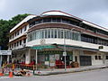
 Tiong Bahru Market
 -
 Tiong Bahru Market
 -
 Tiong Bahru Market
 -
 Tiong Bahru Market
 -
 Tiong Bahru Market
 -
 Tiong Bahru Market
 -
 Tiong Bahru Plaza
 -
 Tiong Bahru Plaza
 -
 Tiong Bahru Road
 -
 Tiong Bahru Road


