The Pacific Marine Circle Route is a 263-kilometre (163 mi) marked scenic loop road through southern Vancouver Island in British Columbia, Canada. The route is composed of Highway 14, Pacific Marine Road, Shore Road, Highway 18, and a segment of the Trans-Canada Highway.[2][1]
Pacific Marine Circle Route | |
|---|---|
| Route information | |
| Length | 263 km[1] (163 mi) |
| Component highways | |
| Location | |
| Country | Canada |
| Province | British Columbia |
| Highway system | |
|
| |
The Pacific Marine Circle Route was established by the British Columbia Ministry of Tourism, Arts and Culture with the promise of an increase in tourist travel in southern Vancouver Island.[3] It is one of British Columbia's 12 Circle Routes scattered throughout the province.[4][5]
Route edit

Clockwise, the route heads south from Malahat, passes through Goldstream Provincial Park then briefly east to Langford, south and west to Sooke, west to Port Renfrew, north and east to Lake Cowichan, east and south to Duncan, southeast to Mill Bay, then south back to Malahat. The route can also be travelled in the opposite direction and started or finished at any points. [6]
Points of Interest edit
See also edit
References edit
- ^ a b "Pacific Marine Circle Route". Super, Natural BC. 2018-03-22. Retrieved 2020-01-24.
- ^ "Pacific Marine Circle Route". Tourism Vancouver Island. Retrieved 2020-01-24.
- ^ "Provincial Government of BC | Destination BC". Retrieved 2020-01-24.
- ^ "ExploreNorth". www.explorenorth.com. Retrieved 2020-01-24.
- ^ "Tours and Drives | Travel Resources". Travel British Columbia. Retrieved 2020-01-24.
- ^ "Pacific Marine Circle Route". Tourism Vancouver Island. Retrieved 2022-02-04.
External links edit
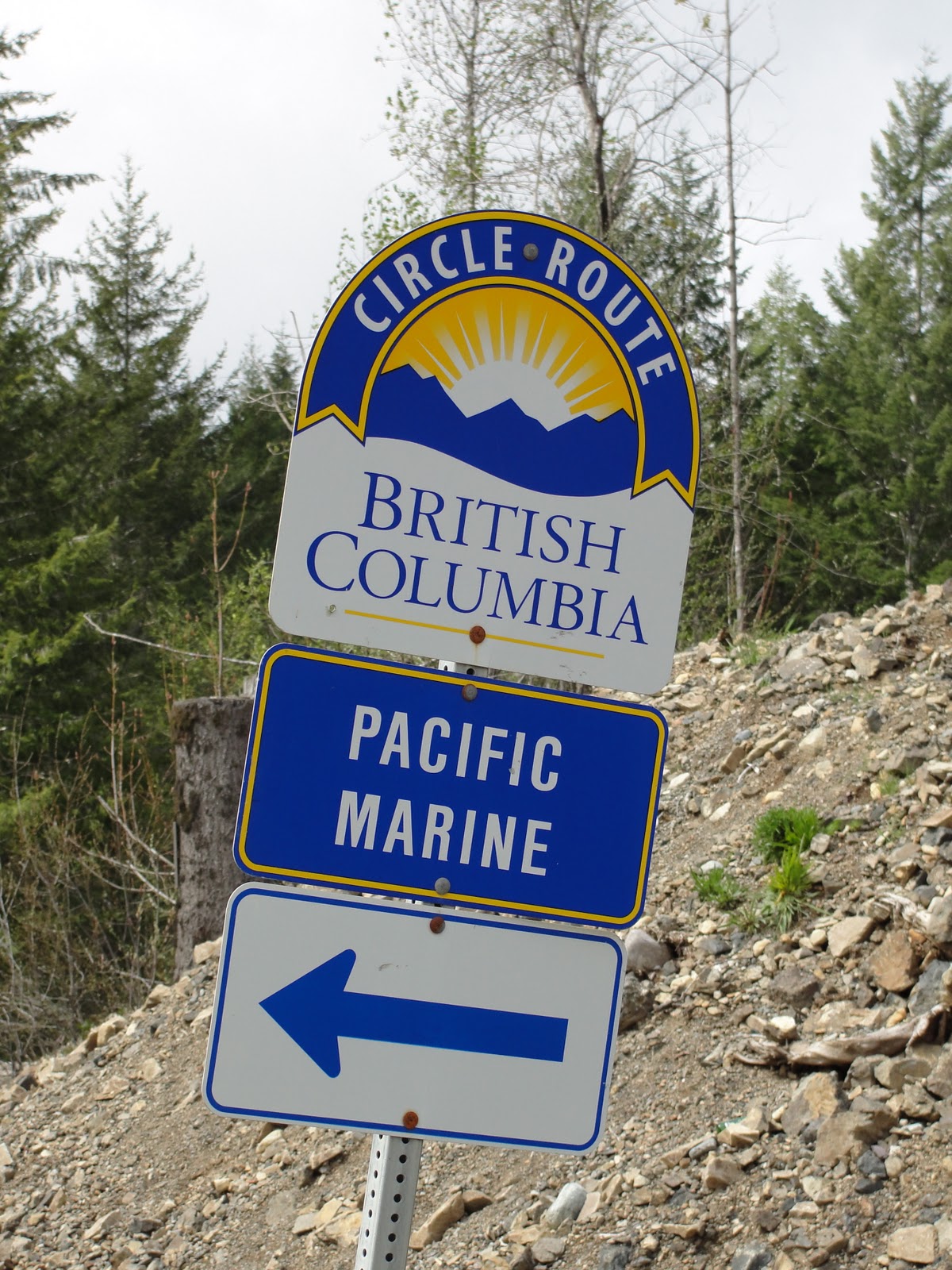
- Official signage along the Pacific Marine Circle Route
- Map of the Pacific Marine Circle Route, Times Colonist (newspaper)
This article about a location on the Coast of British Columbia, Canada is a stub. You can help Wikipedia by expanding it. |
This article about transport in British Columbia is a stub. You can help Wikipedia by expanding it. |