National Route 7 (N7) is a 398-kilometer (247 mi), two to six lane, major primary route that forms part of the Philippine highway network, running from Bacolod to Bayawan in the island of Negros.[1][2][3][4][5][6]
.svg) | ||||
|---|---|---|---|---|
.jpg) N7 as Bacolod North Road in Bacolod | ||||
| Route information | ||||
| Maintained by Department of Public Works and Highways (DPWH) | ||||
| Length | 398 km (247 mi) | |||
| Major junctions | ||||
| North end | ||||
| ||||
| South end | ||||
| Location | ||||
| Country | Philippines | |||
| Highway system | ||||
| ||||
| ||||
Route description edit
Bacolod edit
The route starts at the intersection of N69 (Negros Occidental Eco-Tourism Highway / Alijis Road) and N6 (Bacolod South Road / Lacson Street), which it continues, in Bacolod, the capital city of Negros Occidental. It then heads north towards downtown Bacolod.[7]
Bacolod to San Carlos edit
The route continues north as Bacolod North Road from the Negros Occidental kilometer 0 in front of the Negros Occidental Provincial Capitol onwards. It traverses several municipalities and cities in the northern and eastern part of the province. After reaching the boundary of Negros Occidental and Negros Oriental, the road ends and turns to Dumaguete North Road.
Vallehermoso to Dumaguete edit

The route continues as Dumaguete North Road from the provincial boundary of Negros Oriental onwards. Mostly a straight road with turns and curves, it traverses the eastern coastal towns and cities of Negros Oriental up to its provincial capital, Dumaguete.
Dumaguete to Bayawan edit
.jpg)
The route continues south as Dumaguete South Road from the Negros Oriental kilometer 0 in front of the Negros Oriental Provincial Capitol onwards. Unlike Dumaguete North Road, the direction is forward, which means the kilometer count is ascending. In the Dumaguete city proper, it splits into two one-way roads, i.e. Silliman Avenue and Governor Perdicles Street for southbound traffic and Real Street (Mayor Ramon T. Pastor Street) and Lamberto Macias Avenue for northbound traffic.[8] It then traverses the southern and eastern coastal towns and cities of Negros Oriental up to Bayawan, where it ends at the intersection with N717 (Bayawan–Kabankalan Road) and N712, which continues Dumaguete South Road to the rest of the province.
History edit
The direct predecessor of N7 is Highway 1 that inscribed Negros Island incompletely.[9][10][11] Highway Routes were announced during 2014 as part of the new Philippine highway network.
References edit
- ^ "Bacolod City". Department of Public Works and Highways. Retrieved 2021-06-15.
- ^ "Negros Occ. 1st". Department of Public Works and Highways. Retrieved 2021-06-15.
- ^ "Negros Occ. Sub". Department of Public Works and Highways. Retrieved 2021-06-15.
- ^ "Negros Oriental 1st". Department of Public Works and Highways. Retrieved 2021-06-15.
- ^ "Negros Oriental 2nd". Department of Public Works and Highways. Retrieved 2021-06-15.
- ^ "Negros Oriental 3rd". Department of Public Works and Highways. Retrieved 2021-06-15.
- ^ "Road and Bridge Inventory". Department of Public Works and Highways. Retrieved June 1, 2023.
- ^ Republic Act No. 10052 (19 March 2010), An Act Renaming Real Street in Dumaguete City as Mayor Ramon T. Pastor Sr. Street, retrieved June 1, 2023
- ^ 1944 Army Map Service Road Map of the Central and Southern Philippines (Map). 1:1000000. Washington D.C.: Army Maps Service, Corps of Engineers. 1944. Retrieved June 1, 2023.
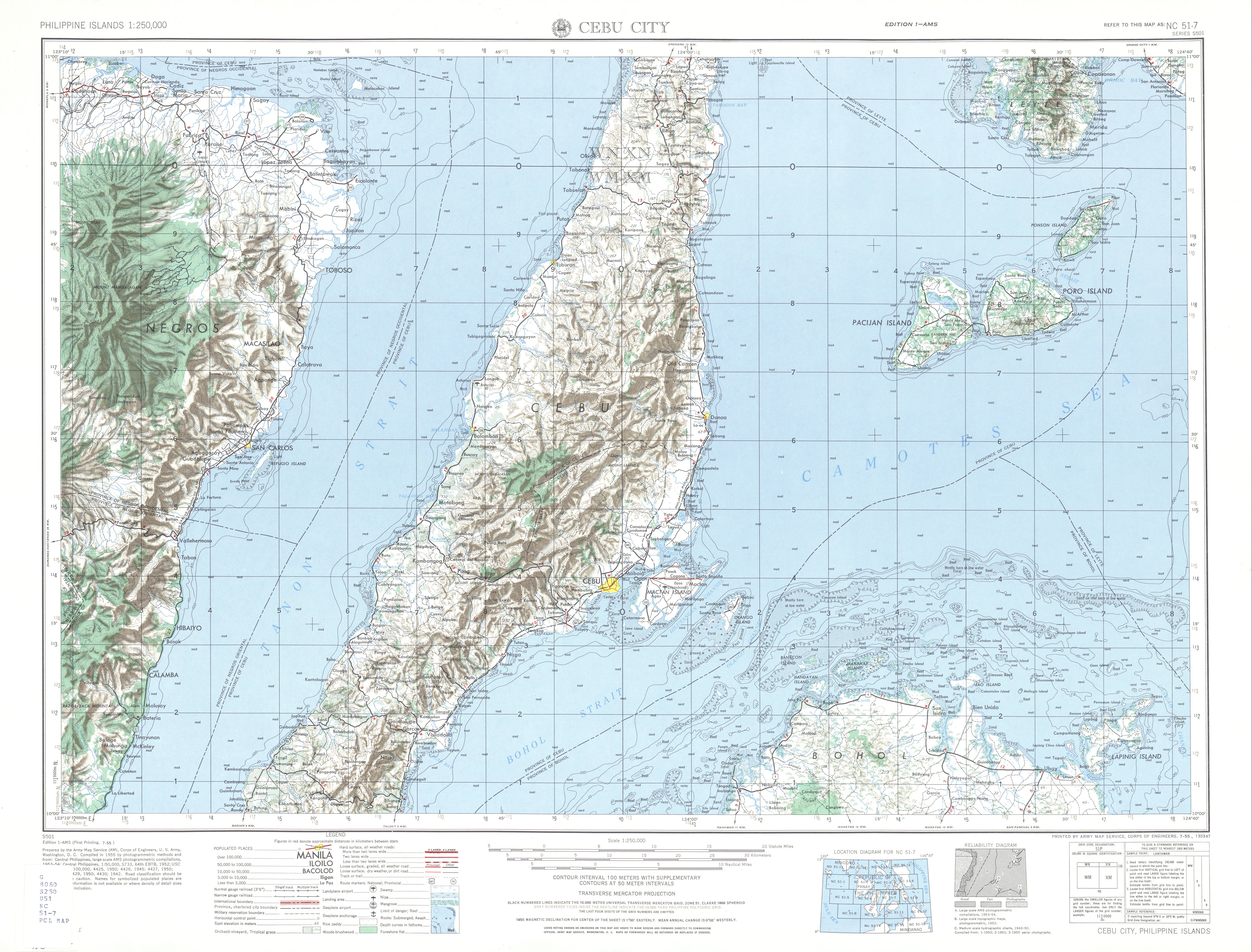
- ^ NC 51-7 Cebu City (Map). 1:250,000. S501. Washington D.C.: Army Map Service, Corps of Engineers. 1954. Retrieved June 1, 2023.
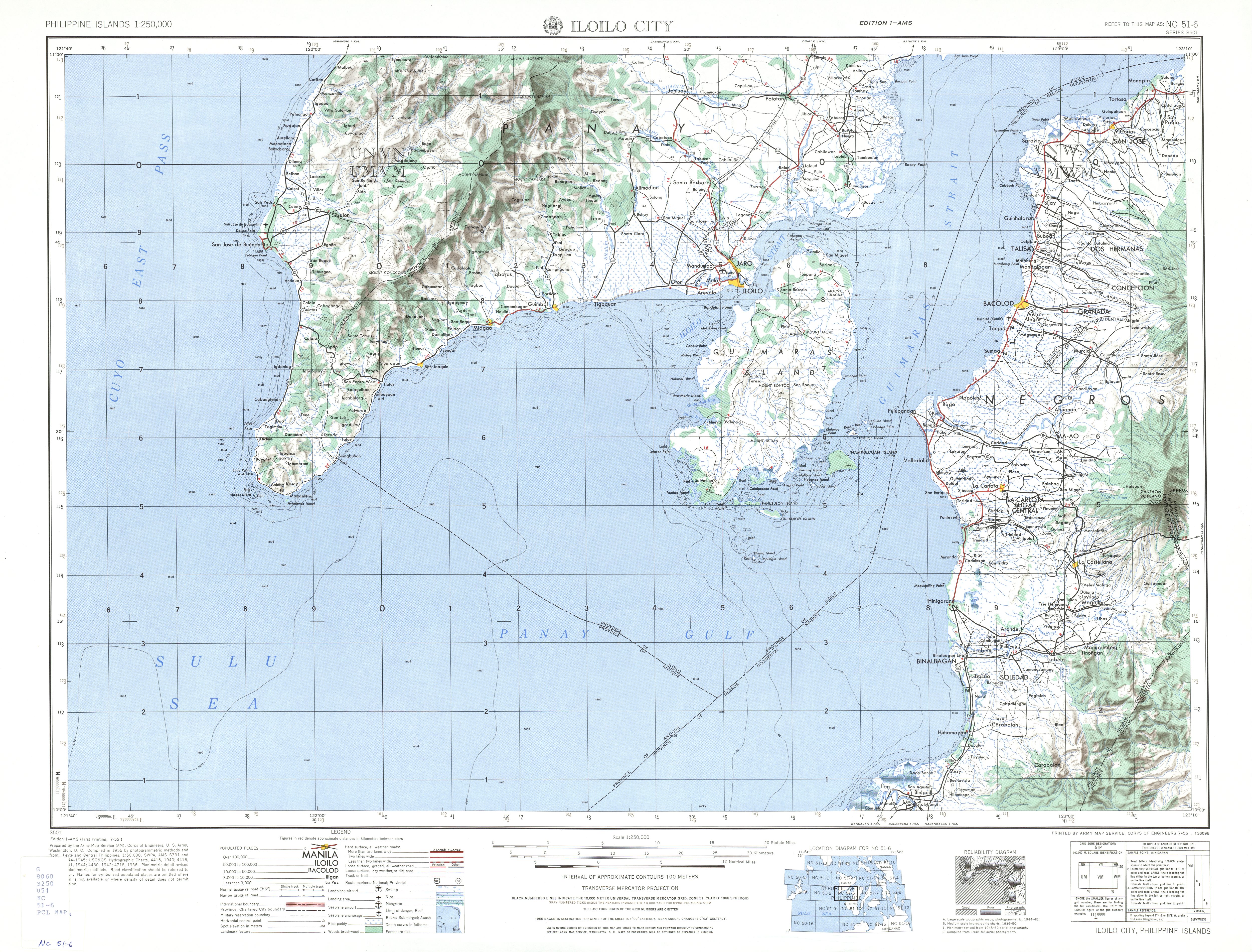
- ^ NC 51-6 Iloilo City (Map). 1:250,000. S501. Washington D.C.: Army Map Service, Corps of Engineers. 1954. Retrieved June 1, 2023.