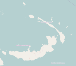
Labur is a village on the west coast of New Ireland, Papua New Guinea. It is located to the south of Kalagunan, on Labur Bay.[1] It is located in Namatanai Rural LLG.[2][3][4]
Labur | |
|---|---|
Village | |
| Coordinates: 3°39′S 152°21′E / 3.650°S 152.350°E | |
| Country | |
| Province | New Ireland Province |
| District | Namatanai District |
References
edit- ^ Bulkley, Robert J. (11 October 2012). At Close Quarters: PT Boats in the United States Navy. Naval Institute Press. p. 550. ISBN 978-1-61251-182-5. Retrieved 31 December 2012.
- ^ United Nations in Papua New Guinea (2018). "Papua New Guinea Village Coordinates Lookup". Humanitarian Data Exchange. 1.31.9.
- ^ "Census Figures by Wards - Islands Region". www.nso.gov.pg. 2011 National Population and Housing Census: Ward Population Profile. Port Moresby: National Statistical Office, Papua New Guinea. 2014. Archived from the original on 2019-10-30. Retrieved 2019-10-01.
- ^ "Final Figures". www.nso.gov.pg. 2011 National Population and Housing Census: Ward Population Profile. Port Moresby: National Statistical Office, Papua New Guinea. 2014. Archived from the original on 2015-09-06. Retrieved 2019-10-01.
