Size of this preview: 800 × 533 pixels. Other resolutions: 320 × 213 pixels | 640 × 427 pixels | 1,024 × 683 pixels | 1,280 × 853 pixels | 2,560 × 1,707 pixels | 4,272 × 2,848 pixels.
Original file (4,272 × 2,848 pixels, file size: 3.7 MB, MIME type: image/jpeg)
| This is a file from the Wikimedia Commons. Information from its description page there is shown below. Commons is a freely licensed media file repository. You can help. |
| This image appeared on Wikipedia's Main Page in the Did you know? column on 13 June 2019 (see archives). |
Summary
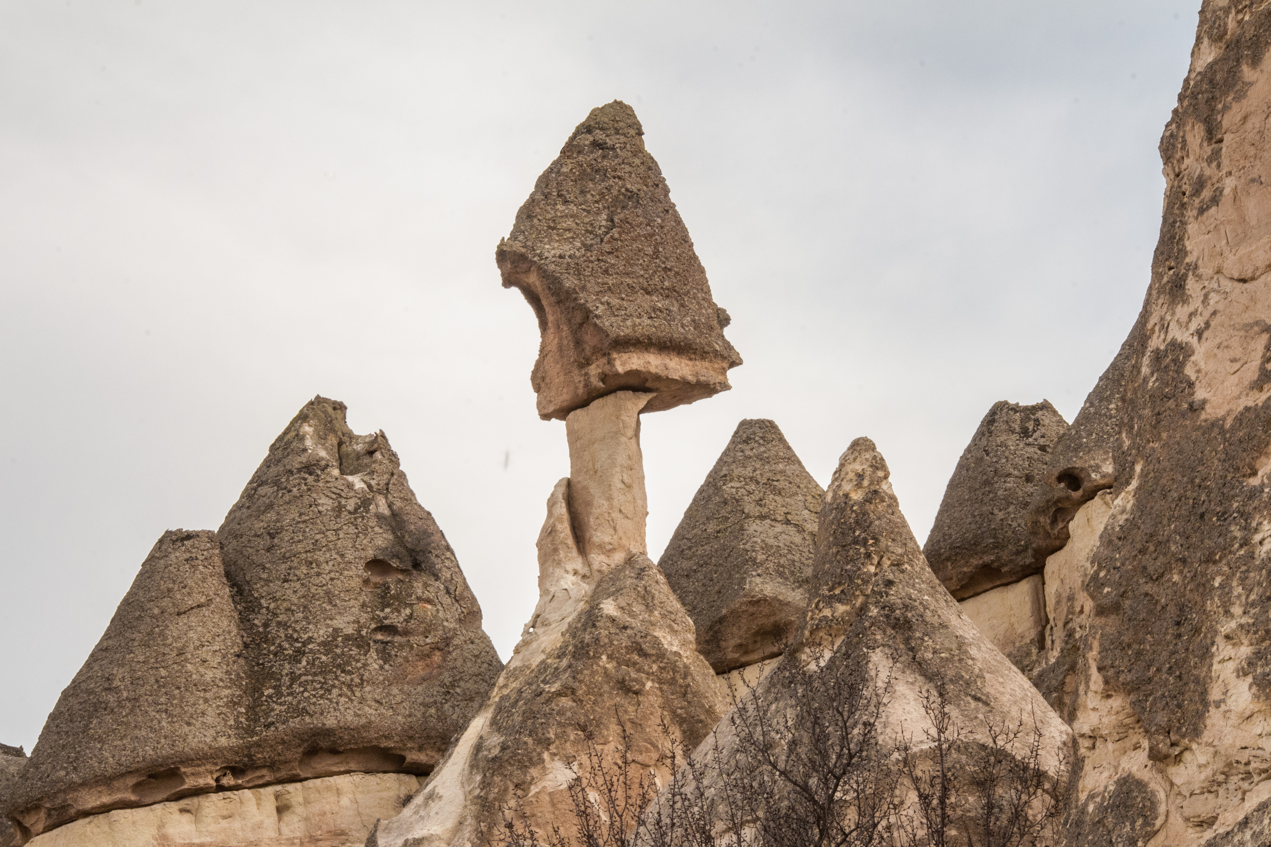
| Description | Between Cavusin and Avanos |
| Date | |
| Source | Between Cavusin and Avanos |
| Author | Graeme Churchard from Bristol (51.4414, -2.5242), UK |
| Camera location | | View this and other nearby images on: OpenStreetMap |
|---|
Licensing
This file is licensed under the Creative Commons Attribution 2.0 Generic license.
- You are free:
- to share – to copy, distribute and transmit the work
- to remix – to adapt the work
- Under the following conditions:
- attribution – You must give appropriate credit, provide a link to the license, and indicate if changes were made. You may do so in any reasonable manner, but not in any way that suggests the licensor endorses you or your use.
| This image was originally posted to Flickr by GOC53 at https://www.flickr.com/photos/30659367@N00/12910921755. It was reviewed on 1 April 2014 by FlickreviewR and was confirmed to be licensed under the terms of the cc-by-2.0. |
File history
Click on a date/time to view the file as it appeared at that time.
| Date/Time | Thumbnail | Dimensions | User | Comment | |
|---|---|---|---|---|---|
| current | 21:07, 11 June 2019 | | 4,272 × 2,848 (3.7 MB) | David Levy | 3:2 aspect ratio |
| 06:14, 1 April 2014 |  | 4,288 × 2,848 (3.76 MB) | Tillman | Transferred from Flickr |
File usage
The following pages on the English Wikipedia use this file (pages on other projects are not listed):
- Göreme Historical National Park
- Hoodoo (geology)
- Wikipedia:Did you know/Statistics/Monthly DYK pageview leaders/2019
- Wikipedia:Did you know/Statistics/Monthly DYK pageview leaders/2019/June
- Wikipedia:Main Page history/2019 June 12
- Wikipedia:Recent additions/2019/June
- Template:Did you know nominations/Göreme National Park
- Portal:Earth sciences/DYK/20
Global file usage
The following other wikis use this file:
- Usage on ar.wikipedia.org
- Usage on en.wiktionary.org
- Usage on hy.wikipedia.org
- Usage on it.wikipedia.org
- Usage on ru.wikipedia.org
- Usage on sl.wikipedia.org
- Usage on vi.wikipedia.org