
Size of this preview: 632 × 600 pixels. Other resolutions: 253 × 240 pixels | 506 × 480 pixels | 809 × 768 pixels | 1,079 × 1,024 pixels | 2,158 × 2,048 pixels | 3,173 × 3,011 pixels.
Original file (3,173 × 3,011 pixels, file size: 1.54 MB, MIME type: image/jpeg)
| This is a file from the Wikimedia Commons. Information from its description page there is shown below. Commons is a freely licensed media file repository. You can help. |
| Description |
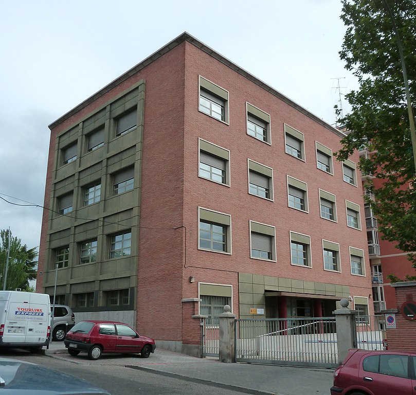
English: Headquarters of the Spanish Civil Aviation Accident and Incident Investigation Commission (CIAIAC), at 6 Calle de Fruela (street) in Latina district in Madrid.
Español: Sede de la Comisión de Investigación de Accidentes e Incidentes de Aviación Civil (CIAIAC) de España, en el nº 6 de la Calle de Fruela de Madrid, en el distrito de Latina.
Català: Seu de la Comissió d'Investigació d'Accidents i Incidents d'Aviació Civil - 6 Calle de Fruela, Latina, Madrid
Français : Siège de la Commission d'enquête des accidents et incidents de l'aviation civile (CIAIAC) de Espagne, dans 6 Calle de Fruela (rue) á Latina, Madrid. |
||
| Date | |||
| Source | Own work | ||
| Author | Luis García (Zaqarbal) | ||
| Permission (Reusing this file) |
I, the copyright holder of this work, hereby publish it under the following licenses:
This file is licensed under the Creative Commons Attribution-Share Alike 3.0 Unported, 2.5 Generic, 2.0 Generic and 1.0 Generic license. Attribution: Luis García
You may select the license of your choice. |

_01.jpg)
_01.jpg&action=edit&redlink=1)
_01.jpg)
| Object location | | View this and other nearby images on: OpenStreetMap |
|---|
_01.jpg¶ms=040.413707_N_-003.730874_E_globe:Earth_class:object_type:landmark_region:ES_&language=en)
File history
Click on a date/time to view the file as it appeared at that time.
| Date/Time | Thumbnail | Dimensions | User | Comment | |
|---|---|---|---|---|---|
| current | 20:04, 30 April 2011 | | 3,173 × 3,011 (1.54 MB) | Zaqarbal | Photo taken by Luis García (Zaqarbal) on April 30, 2011. Hereby published under GFDL and Cc-by-sa-3.0,2.5,2.0,1.0 licenses. |
File usage
The following pages on the English Wikipedia use this file (pages on other projects are not listed):
Global file usage
The following other wikis use this file:
- Usage on ca.wikipedia.org
- Usage on de.wikipedia.org
- Usage on es.wikipedia.org
- Usage on fr.wikipedia.org
- Usage on gl.wikipedia.org
- Usage on it.wikipedia.org
- Usage on sco.wikipedia.org
- Usage on www.wikidata.org
_01.jpg)