
Size of this preview: 778 × 600 pixels. Other resolutions: 311 × 240 pixels | 623 × 480 pixels | 874 × 674 pixels.
Original file (874 × 674 pixels, file size: 216 KB, MIME type: image/png)
Summary edit
| Description | |||
|---|---|---|---|
| Source |
Open Street Map | ||
| Date | |||
| Author |
| ||
| Permission (Reusing this file) |
See below.
|
Licensing edit
This map was generated by OpenStreetMap contributors [1] using GPS data, and other 'free' sources. (see [2])
- In data : OSM mapping is licensed under the Open Database Licence and Database Contents Licence
- In tiles:
| This work is licensed under the Creative Commons Attribution-ShareAlike 2.0 License. |
File history
Click on a date/time to view the file as it appeared at that time.
| Date/Time | Thumbnail | Dimensions | User | Comment | |
|---|---|---|---|---|---|
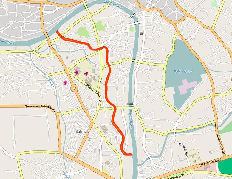
| current | 10:25, 23 February 2016 | | 874 × 674 (216 KB) | Demonkiller (talk | contribs) | The Kutte Kol canal in Srinagar, highlighted in orange. |
You cannot overwrite this file.
File usage
The following pages on the English Wikipedia use this file (pages on other projects are not listed):