Size of this preview: 800 × 450 pixels. Other resolutions: 320 × 180 pixels | 640 × 360 pixels | 1,024 × 575 pixels | 1,280 × 719 pixels | 2,560 × 1,439 pixels | 4,000 × 2,248 pixels.
Original file (4,000 × 2,248 pixels, file size: 2.56 MB, MIME type: image/jpeg)
| This is a file from the Wikimedia Commons. Information from its description page there is shown below. Commons is a freely licensed media file repository. You can help. |
Summary
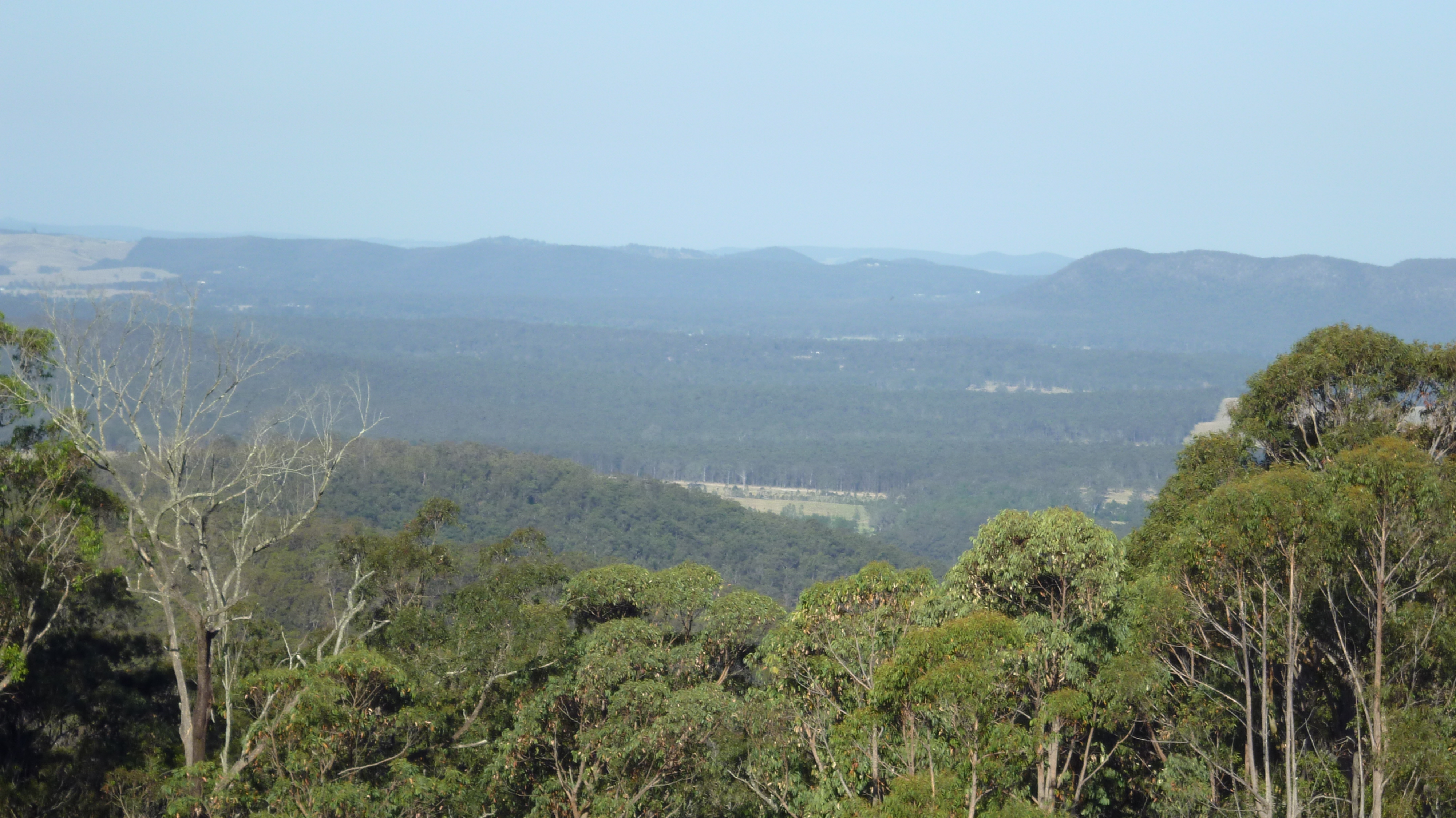
| Description | View from Mahogany Ridge estate on Dunns Creek Road in Duns Creek, New South Wales looking east. GPS measured elevation is approximately 297 metres (974 ft). |
| Date | |
| Source | Own work |
| Author | AussieLegend |
| Other versions | File:Duns Creek looking east.jpg is a wide view from the same location. |
| Camera location | | View this and other nearby images on: OpenStreetMap |
|---|
Licensing
| I, the copyright holder of this work, release this work into the public domain. This applies worldwide. In some countries this may not be legally possible; if so: I grant anyone the right to use this work for any purpose, without any conditions, unless such conditions are required by law. |
File history
Click on a date/time to view the file as it appeared at that time.
| Date/Time | Thumbnail | Dimensions | User | Comment | |
|---|---|---|---|---|---|
| current | 21:06, 21 October 2012 | | 4,000 × 2,248 (2.56 MB) | AussieLegend | == {{int:filedesc}} == {{Information |description = View from Uffington Road in Duns Creek, New South Wales looking east. GPS measured elevation is approximately {{convert|297|m|ft}}. |date... |
File usage
The following pages on the English Wikipedia use this file (pages on other projects are not listed):