Size of this preview: 434 × 599 pixels. Other resolutions: 174 × 240 pixels | 347 × 480 pixels | 556 × 768 pixels | 741 × 1,024 pixels | 2,345 × 3,239 pixels.
Original file (2,345 × 3,239 pixels, file size: 9.37 MB, MIME type: image/png)
| This is a file from the Wikimedia Commons. Information from its description page there is shown below. Commons is a freely licensed media file repository. You can help. |
Summary
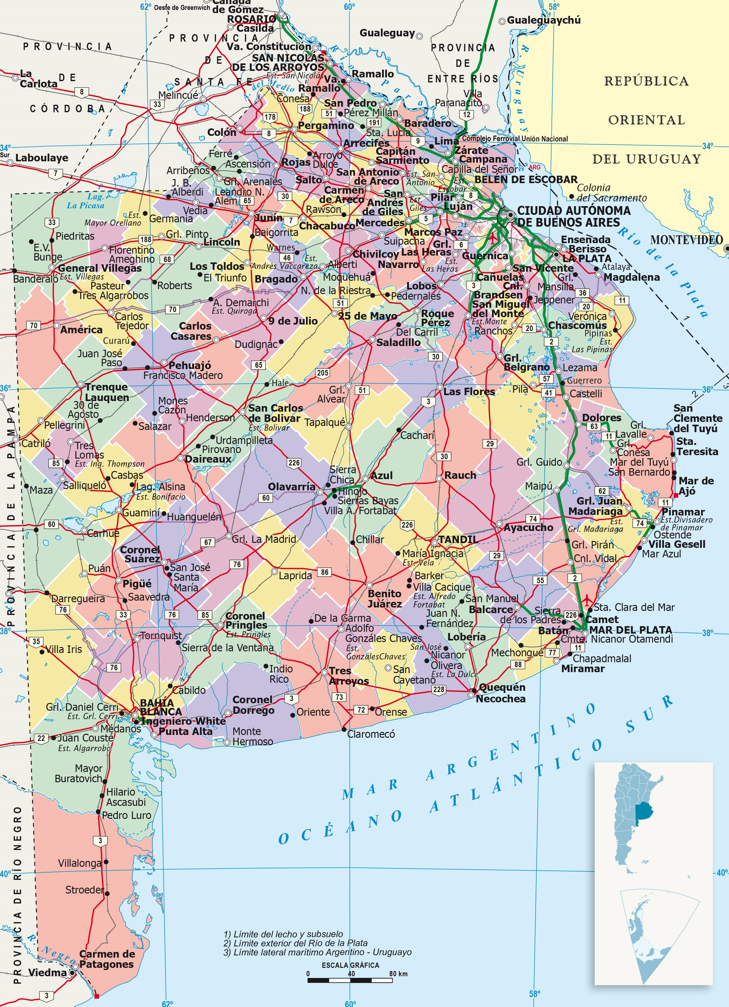
| Description | It shows administrative division of Buenos Aires province, its capital (red point) and its boundaries. This version has reference numbers for easier locating of provinces. |
| Date | |
| Source | https://www.ign.gob.ar/ |
| Author | IGN (National Geographic Institute) |
Licensing
This file is licensed under the Creative Commons Attribution-Share Alike 4.0 International license.
- You are free:
- to share – to copy, distribute and transmit the work
- to remix – to adapt the work
- Under the following conditions:
- attribution – You must give appropriate credit, provide a link to the license, and indicate if changes were made. You may do so in any reasonable manner, but not in any way that suggests the licensor endorses you or your use.
- share alike – If you remix, transform, or build upon the material, you must distribute your contributions under the same or compatible license as the original.
Licensing
| I, the copyright holder of this work, release this work into the public domain. This applies worldwide. In some countries this may not be legally possible; if so: I grant anyone the right to use this work for any purpose, without any conditions, unless such conditions are required by law. |
File history
Click on a date/time to view the file as it appeared at that time.
| Date/Time | Thumbnail | Dimensions | User | Comment | |
|---|---|---|---|---|---|
| current | 04:45, 23 June 2023 | | 2,345 × 3,239 (9.37 MB) | LibIchtnatz | Updated to a newer and clear version made by the IGN (National Geographic Institution) |
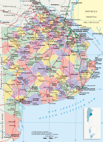
| 03:15, 31 August 2007 |  | 569 × 621 (36 KB) | Joshbaumgartner | == Summary == It shows administrative division of Buenos Aires province, its capital (red point) and its boundaries. This version has reference numbers for easier locating of provinces. == Licensing == {{PD-self}} [[Category:Maps of Buenos Aires Provinc |
File usage
The following pages on the English Wikipedia use this file (pages on other projects are not listed):
Global file usage
The following other wikis use this file:
- Usage on cs.wikipedia.org
- Usage on fa.wikipedia.org
- Usage on fi.wikipedia.org
- Usage on fr.wikipedia.org
- Usage on hu.wikipedia.org
- Usage on it.wikipedia.org
- Usage on ja.wikipedia.org
- Usage on ko.wikipedia.org
- Usage on nds.wikipedia.org
- Usage on sk.wikipedia.org
- Usage on tr.wikipedia.org
- Usage on zh.wikipedia.org