
Size of this preview: 800 × 532 pixels. Other resolutions: 320 × 213 pixels | 640 × 426 pixels | 1,024 × 681 pixels | 1,280 × 852 pixels | 2,560 × 1,703 pixels | 4,256 × 2,832 pixels.
Original file (4,256 × 2,832 pixels, file size: 2.53 MB, MIME type: image/jpeg)
| This is a file from the Wikimedia Commons. Information from its description page there is shown below. Commons is a freely licensed media file repository. You can help. |
Summary
| Description |
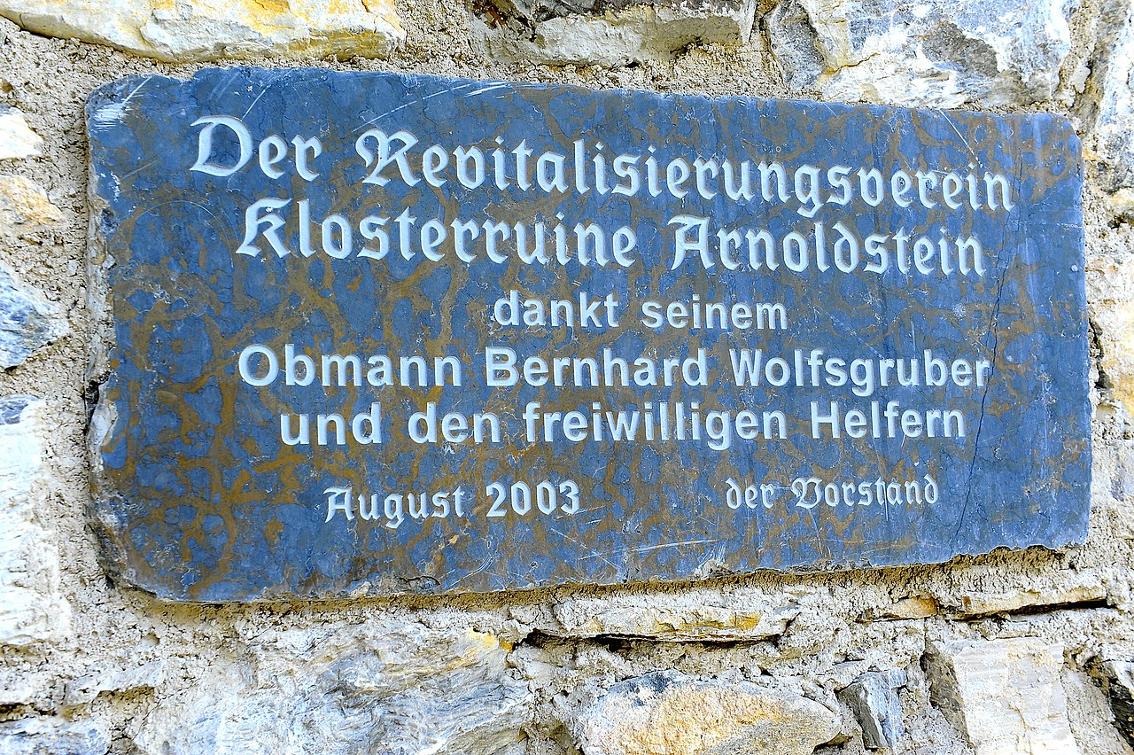
English: Plaque as acknowledgement of gratitude for the “Revitalization Association of the monastery ruin" and it`s chairman Bernhard Wolfsgruber inside the friary ruin in Arnoldstein, municipality Arnoldstein, district Villach Land, Carinthia / Austria / EU
Deutsch: Inschrifttafel als Anerkennung gegenüber dem „Revitalisierungsverein Klosterruine“ und seinem Obmann Bernhard Wolfsgruber in der Klosterruine in Arnoldstein, Gemeinde Arnoldstein, Bezirk Villach Land, Kärnten / Österreich / EU
|
||
| Date | |||
| Source | Own work | ||
| Author | Johann Jaritz | ||
| Permission (Reusing this file) |
I, the copyright holder of this work, hereby publish it under the following licenses:
This file is licensed under the Creative Commons Attribution-Share Alike 3.0 Austria license.
 You may select the license of your choice. |

| Object location | | View this and other nearby images on: OpenStreetMap |
|---|
Licensing
I, the copyright holder of this work, hereby publish it under the following license:
This file is licensed under the Creative Commons Attribution-Share Alike 3.0 Unported license.
- You are free:
- to share – to copy, distribute and transmit the work
- to remix – to adapt the work
- Under the following conditions:
- attribution – You must give appropriate credit, provide a link to the license, and indicate if changes were made. You may do so in any reasonable manner, but not in any way that suggests the licensor endorses you or your use.
- share alike – If you remix, transform, or build upon the material, you must distribute your contributions under the same or compatible license as the original.
File history
Click on a date/time to view the file as it appeared at that time.
| Date/Time | Thumbnail | Dimensions | User | Comment | |
|---|---|---|---|---|---|
| current | 05:04, 27 July 2012 | | 4,256 × 2,832 (2.53 MB) | Johann Jaritz | {{Information |Description={{en|1=Plaque as acknowledgement of gratitude for the “Revitalization Association of the monastery ruin" and it`s chairman Bernhard Wolfsgruber inside the friary ruin in Arnoldstein, municipality [[:en:Arnoldstein|Arnoldste... |
File usage
The following pages on the English Wikipedia use this file (pages on other projects are not listed):
Global file usage
The following other wikis use this file:
- Usage on de.wikipedia.org