The Daryalyktakyr Plain (Kazakh: Дариялықтақыр; Russian: равнина Дарьялыктакыр), is an alluvial plain in the Kyzylorda Region, Kazakhstan.[1]
Daryalyktakyr
Дариялықтақыр равнина Дарьялыктакыр | |
|---|---|
 Daryalyktakyr plain Sentinel-2 image | |
 Daryalyktakyr Location in Kazakhstan | |
| Coordinates: 45°25′N 65°20′E / 45.417°N 65.333°E | |
| Location | Kazakhstan |
| Dimensions | |
| • Length | 230 km (140 mi) |
| • Width | 50 km (31 mi) |
| Elevation | 110 m (360 ft) to 145 m (476 ft) |
The plain stretches across Zhalagash, Syrdarya and Shieli districts of Kyzylorda Region.[1] A gas pipeline was built across the plain in 2012.[2] The Shieli-Telikol Canal runs from north to south at the eastern edge.[3]
Geography
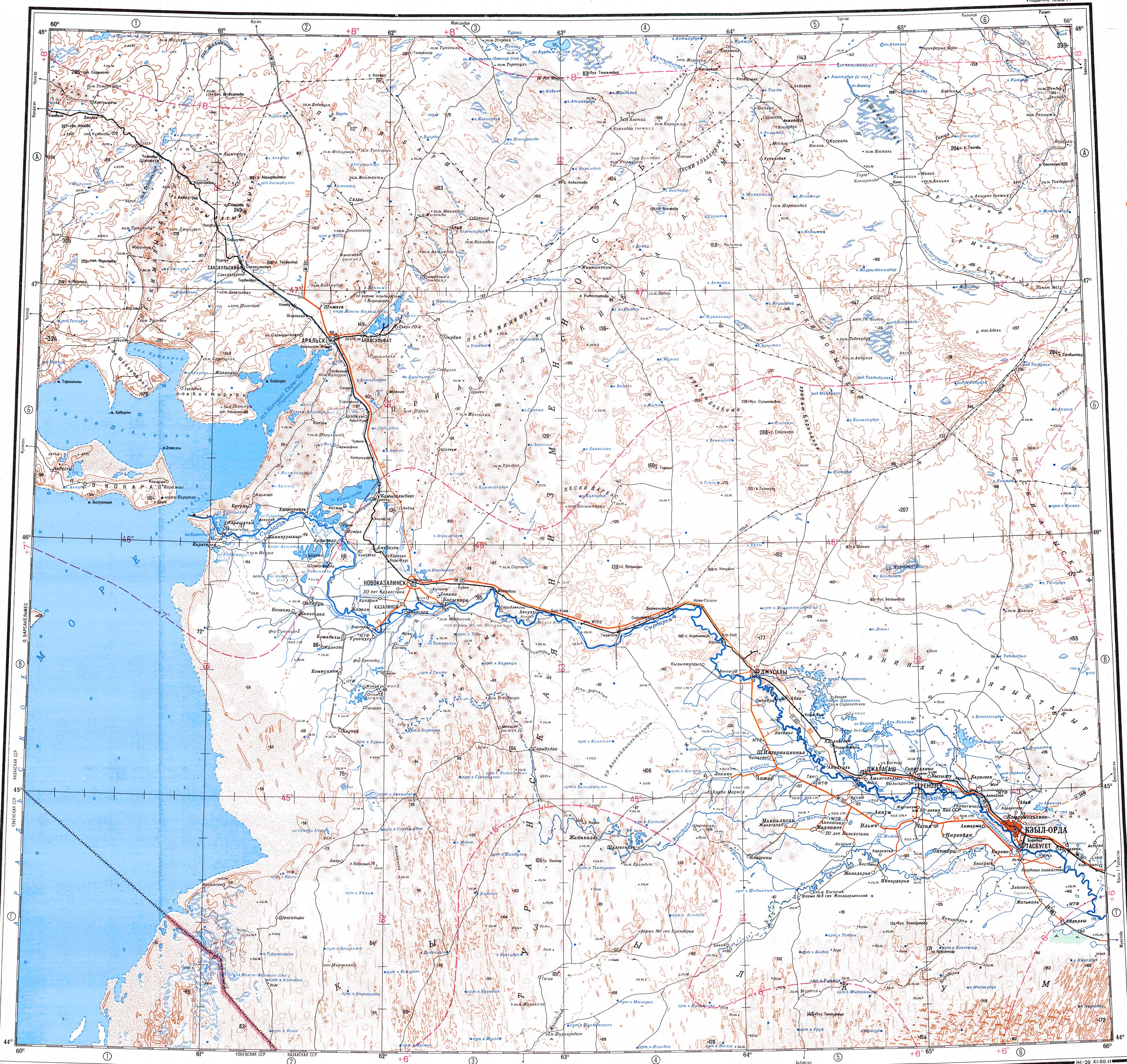
editThe Daryalyktakyr lies north of the lower reaches of the Syr Darya and corresponds to an ancient channel where the river flowed. It extends roughly from WNW to ESE for a length of 230 km (140 mi) between the area to the north of Zhosaly town in the west and the Telikol lakes in the east.[4][3]
It is a large, elongated takir zone to the north of the current river channel covered with a top layer of alluvial sediments of mixed sand and clay. There are some solonetz and solonchak areas, as well as some small lakes and swamps at the southern edge. The Karaozek river, a right tributary of the Syr Darya, flows westwards along the southern limits of the plain.[5][4]
Flora
editSedges may grow in the most barren-looking areas. Wormwood, Calligonum and tamarisk grow sparsely in dry channels.[5]
See also
editReferences
edit- ^ a b Google Earth
- ^ ЕДИНСТВЕННАЯ И НЕПОВТОРИМАЯ
- ^ a b "L-42 Topographic Chart (in Russian)". Retrieved 14 November 2022.
- ^ a b "L-41 Topographic Chart (in Russian)". Retrieved 14 November 2022.
- ^ a b Kazakhstan National Encyclopedia / Ch. ed. B.O. Jakyp. — Almaty: «Kazakh encyclopedia» ZhSS, 2011. ISBN 9965-893-64-0 (T.Z.), ISBN 9965-893-19-5