
Size of this PNG preview of this SVG file: 800 × 538 pixels. Other resolutions: 320 × 215 pixels | 640 × 430 pixels | 1,024 × 688 pixels | 1,280 × 860 pixels | 2,560 × 1,720 pixels | 3,780 × 2,540 pixels.
Original file (SVG file, nominally 3,780 × 2,540 pixels, file size: 1.77 MB)
| This is a file from the Wikimedia Commons. Information from its description page there is shown below. Commons is a freely licensed media file repository. You can help. |
Багачеве
Summary
| Description |
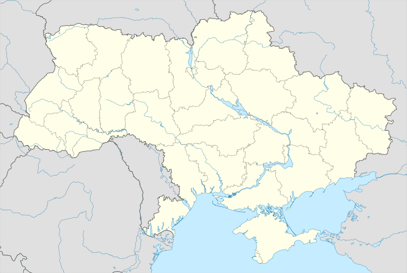
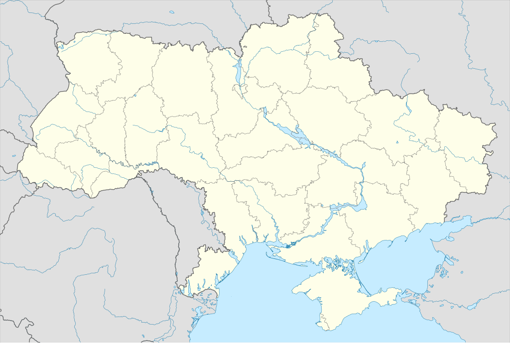
Українська: Позиційна карта України.
English: Location map of Ukraine. |
| Date | |
| Source |
Own work based on: GIS data by:
|
| Author |
Yakiv Gluck, TUBS |
| SVG development | This locator map was created with Adobe Illustrator. |
Licensing
I, the copyright holder of this work, hereby publish it under the following license:
This file is licensed under the Creative Commons Attribution-Share Alike 4.0 International license.
- You are free:
- to share – to copy, distribute and transmit the work
- to remix – to adapt the work
- Under the following conditions:
- attribution – You must give appropriate credit, provide a link to the license, and indicate if changes were made. You may do so in any reasonable manner, but not in any way that suggests the licensor endorses you or your use.
- share alike – If you remix, transform, or build upon the material, you must distribute your contributions under the same or compatible license as the original.
File history
Click on a date/time to view the file as it appeared at that time.
| Date/Time | Thumbnail | Dimensions | User | Comment | |
|---|---|---|---|---|---|
| current | 01:56, 12 May 2023 | | 3,780 × 2,540 (1.77 MB) | Physeters | add improved tracing of the Dnieper Delta |
| 12:47, 28 February 2018 |  | 3,780 × 2,540 (1.34 MB) | Yakiv Gluck | User created page with UploadWizard |
File usage
The following pages on the English Wikipedia use this file (pages on other projects are not listed):
Global file usage
The following other wikis use this file:
- Usage on avk.wikipedia.org
- Usage on az.wikipedia.org
- Kiyev
- Odessa
- Poltava
- Xarkov
- Kiyev-Peçora lavrası
- Bağçasaray
- Şablon:Yer xəritəsi
- Şablon:Yer xəritəsi/doc
- Şablon:Yer xəritəsi+
- Şablon:Yer xəritəsi Ukrayna
- Kerç
- Sevastopol
- Simferopol
- Axtırka
- Kanev
- Xotın
- Pripyat
- Askaniya-Nova
- Çigirin
- Qeroevsk
- Truskavets
- Lvov
- Ay Serez qəsəbəsi
- Ujqorod
- Yalta
- Livadiya
- Feodosiya
- Kremençuq
- İvano-Frankovsk
- Kropivnitski
- Lutsk
- Nikolayev
- Dnepr (şəhər)
- Xerson
- Luqansk
- Çerniqov
- Sumı
- Vinnitsa
- Mariupol
- Zaporojya
- Qorlivka
- Çerkası
- Krivoy Roq
- Makeyevka
- Jitomir
- Xmelnitski
- Rovno
- Çernovtsı
- Ternopol
View more global usage of this file.