Size of this preview: 800 × 534 pixels. Other resolutions: 320 × 214 pixels | 640 × 427 pixels | 1,024 × 683 pixels | 1,500 × 1,001 pixels.
Original file (1,500 × 1,001 pixels, file size: 406 KB, MIME type: image/jpeg)
| This is a file from the Wikimedia Commons. Information from its description page there is shown below. Commons is a freely licensed media file repository. You can help. |
| Description |
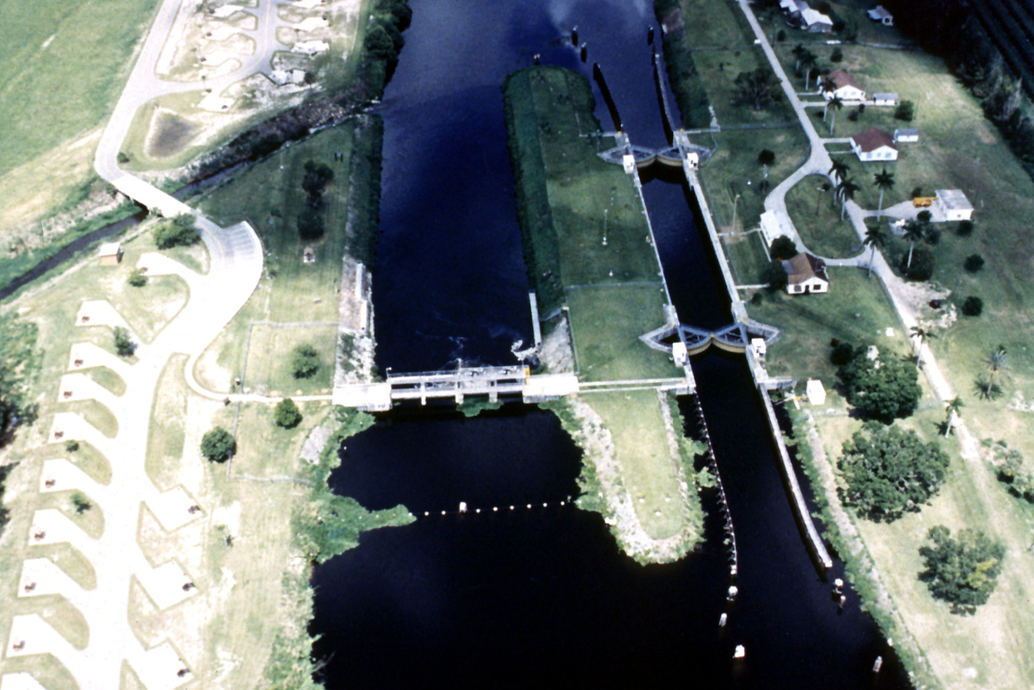
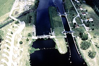
English: Ortona Lock and Dam on the Caloosahatchee River, which is a part of the Okeechobee Waterway in central Florida, USA. The lock and dam are located in Glades County near LaBelle, Florida.
Coordinates: 26°47′20.26″N 81°18′17.24″W / 26.7889611°N 81.3047889°W |
|||
| Location | Glades County, Florida, USA | |||
| Date | (Caveat: Dates provided by U.S. Army Corps of Engineers Digital Visual Library are not reliable and are often wrong.) | |||
| Source |
U.S. Army Corps of Engineers Digital Visual Library Image page Image description page Digital Visual Library home page |
|||
| Author | U.S. Army Corps of Engineers, photographer not specified or unknown | |||
| Permission (Reusing this file) |
|
File history
Click on a date/time to view the file as it appeared at that time.
| Date/Time | Thumbnail | Dimensions | User | Comment | |
|---|---|---|---|---|---|
| current | 01:43, 28 April 2007 | | 1,500 × 1,001 (406 KB) | DanMS | {{Information | Description = {{en|Ortona Lock and Dam on the Caloosahatchee River, which is a part of the Okeechobee Waterway in central Florida, USA. The lock and dam are located in Glades County near LaBelle, Florida.}} Coordinates: {{Coor dms|26|47 |
File usage
The following pages on the English Wikipedia use this file (pages on other projects are not listed):
Global file usage
The following other wikis use this file:
- Usage on eo.wikipedia.org
- Usage on ha.wikipedia.org
- Usage on la.wikipedia.org