
Size of this preview: 519 × 599 pixels. Other resolutions: 208 × 240 pixels | 416 × 480 pixels | 665 × 768 pixels | 887 × 1,024 pixels | 1,544 × 1,783 pixels.
Original file (1,544 × 1,783 pixels, file size: 439 KB, MIME type: image/jpeg)
| This is a file from the Wikimedia Commons. Information from its description page there is shown below. Commons is a freely licensed media file repository. You can help. |
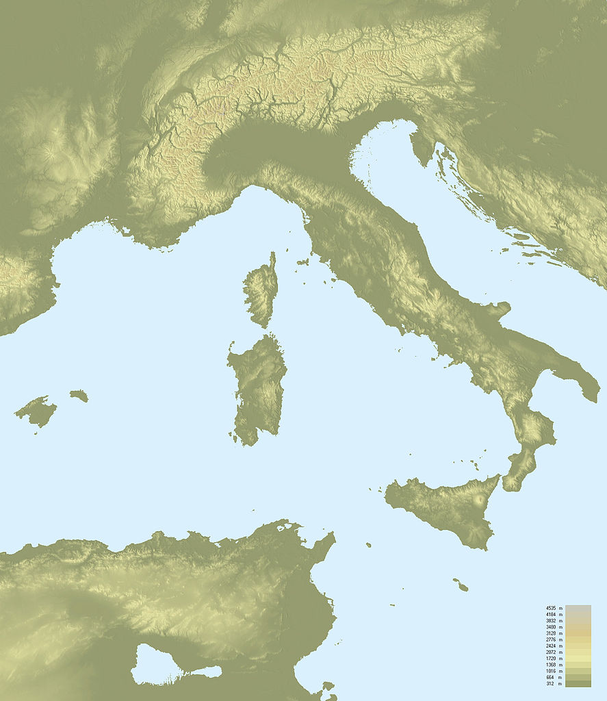
| Description | Topographic map of Italy | ||
| Date | |||
| Source | NASA Shuttle Radar Topography Mission (SRTM3 v.2) (public domain) edited with 3DEM from Visualization Software LLC ; UTM projection ; WGS84 datum ; shaded relief (composite image of N-W, W and N lightning positions). | ||
| Author | F l a n k e r | ||
| Permission (Reusing this file) |
|
||
| Other versions |
Derivative works of this file: Paleo-Veneti map.PNG
|

File history
Click on a date/time to view the file as it appeared at that time.
| Date/Time | Thumbnail | Dimensions | User | Comment | |
|---|---|---|---|---|---|
| current | 13:13, 4 April 2010 | | 1,544 × 1,783 (439 KB) | F l a n k e r | Reverted to version as of 00:07, 24 January 2008 |
| 21:18, 1 April 2010 |  | 1,544 × 1,783 (1.89 MB) | Gigillo83 | Borders | |
| 21:16, 1 April 2010 |  | 1,544 × 1,783 (70 KB) | Gigillo83 | Italian Borders | |
| 00:07, 24 January 2008 |  | 1,544 × 1,783 (439 KB) | F l a n k e r | {{Information |Description=Topographic map of Italy |Source=[http://www2.jpl.nasa.gov/srtm NASA Shuttle Radar Topography Mission] (SRTM3 v.2) (public domain) edited with [http://www.visualizationsoftware.com/3dem.html 3DEM] from Visualization Software LLC |
File usage
No pages on the English Wikipedia use this file (pages on other projects are not listed).
Global file usage
The following other wikis use this file:
- Usage on fr.wikipedia.org
- Usage on it.wikipedia.org
- Usage on ro.wikipedia.org