.jpg)
.jpg&action=edit&redlink=1)

Size of this preview: 450 × 600 pixels. Other resolutions: 180 × 240 pixels | 360 × 480 pixels | 576 × 768 pixels | 768 × 1,024 pixels | 2,448 × 3,264 pixels.
Original file (2,448 × 3,264 pixels, file size: 3.64 MB, MIME type: image/jpeg)
| This is a file from the Wikimedia Commons. Information from its description page there is shown below. Commons is a freely licensed media file repository. You can help. |
.jpg)
Summary
| Description |
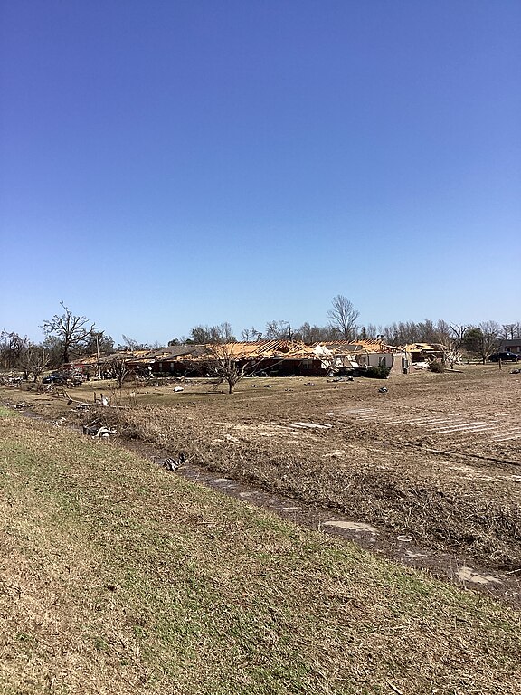
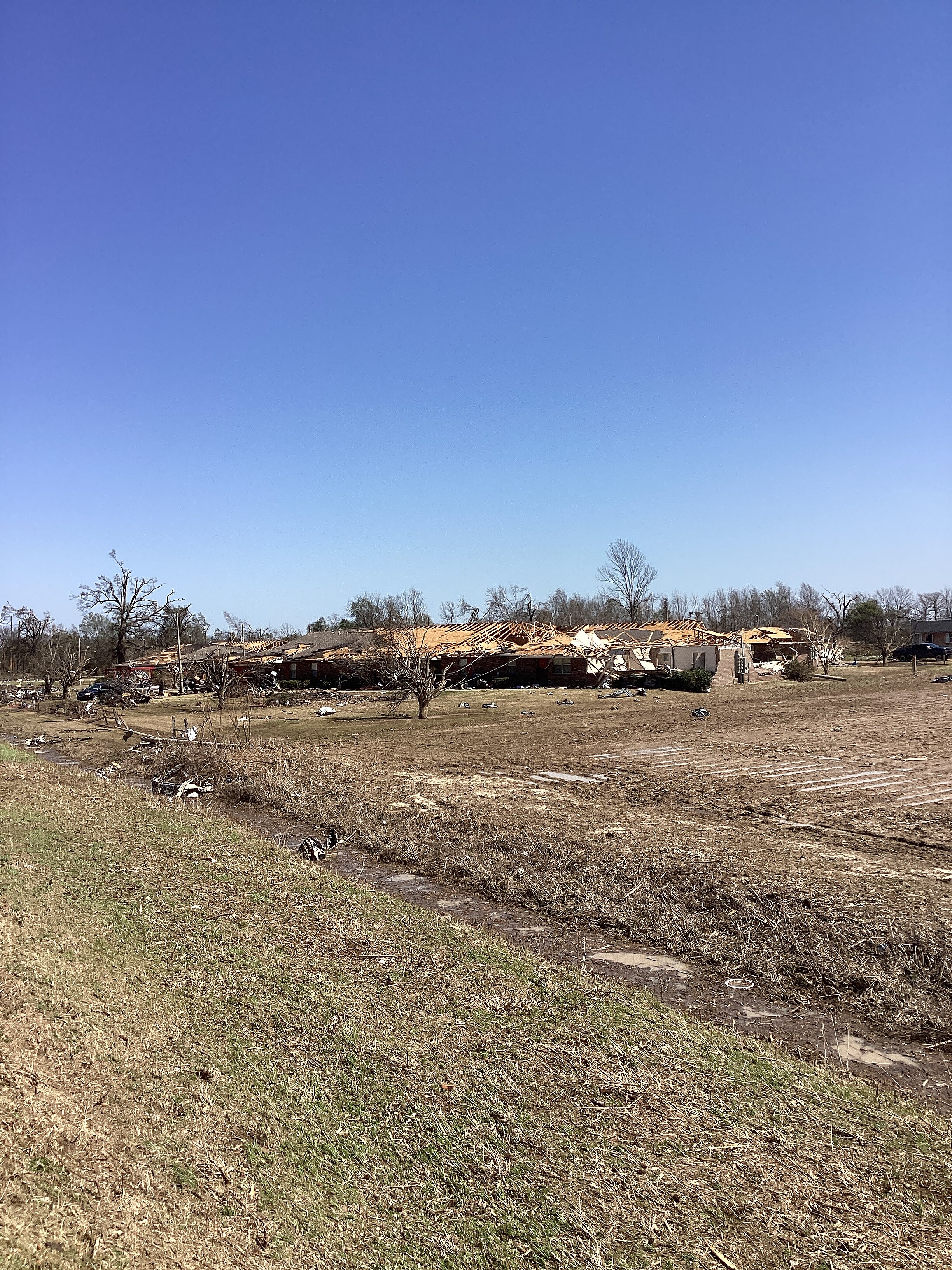
English: EF2 damage to a group of homes on the southwest side of Silver City, Mississippi.
"Large sections of roofs structure removed from homes. Walls still standing. Scattered debris across the field. Broken power poles" |
| Date | |
| Source | https://services.dat.noaa.gov/arcgis/rest/services/nws_damageassessmenttoolkit/DamageViewer/FeatureServer/0/3465348/attachments/2113145 |
| Author | NWS Jackson MS |
| Camera location | | View this and other nearby images on: OpenStreetMap |
|---|
.jpg¶ms=033.091914_N_-090.505141_E_globe:Earth_type:camera_heading:139.22&language=en)
Licensing
This image is in the public domain because it contains materials that originally came from the U.S. National Oceanic and Atmospheric Administration, taken or made as part of an employee's official duties.
|
File history
Click on a date/time to view the file as it appeared at that time.
| Date/Time | Thumbnail | Dimensions | User | Comment | |
|---|---|---|---|---|---|
| current | 08:04, 22 April 2023 | | 2,448 × 3,264 (3.64 MB) | ChessEric | Uploaded a work by NWS Jackson MS from https://services.dat.noaa.gov/arcgis/rest/services/nws_damageassessmenttoolkit/DamageViewer/FeatureServer/0/3465348/attachments/2113145 with UploadWizard |
File usage
The following pages on the English Wikipedia use this file (pages on other projects are not listed):
.jpg)