Size of this preview: 800 × 600 pixels. Other resolutions: 320 × 240 pixels | 640 × 480 pixels | 1,024 × 768 pixels | 1,280 × 960 pixels | 2,048 × 1,536 pixels.
Original file (2,048 × 1,536 pixels, file size: 835 KB, MIME type: image/jpeg)
| This is a file from the Wikimedia Commons. Information from its description page there is shown below. Commons is a freely licensed media file repository. You can help. |
Summary
| Description |
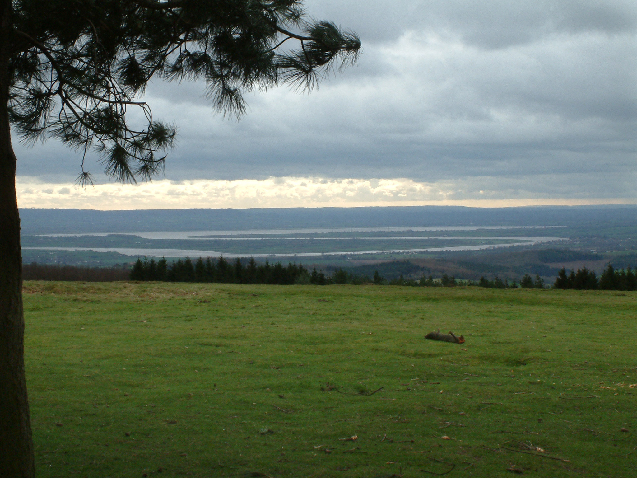
English: From the summit of May Hill, Gloucestershire, the twists and turns of the lower River Severn, part of the section difficult for navigation and bypassed by the Gloucester and Sharpness Canal. |
| Date | |
| Source | Transferred from en.wikipedia to Commons by RedWolf using CommonsHelper. |
| Author | Stephen Dawson at en.wikipedia |
Licensing
This file is licensed under the Creative Commons Attribution-Share Alike 2.0 Generic license.
- You are free:
- to share – to copy, distribute and transmit the work
- to remix – to adapt the work
- Under the following conditions:
- attribution – You must give appropriate credit, provide a link to the license, and indicate if changes were made. You may do so in any reasonable manner, but not in any way that suggests the licensor endorses you or your use.
- share alike – If you remix, transform, or build upon the material, you must distribute your contributions under the same or compatible license as the original.
Original upload log
The original description page was here. All following user names refer to en.wikipedia.
- 2005-02-13 12:04 StephenDawson 2048×1536× (854635 bytes) River Severn from May Hill, Gloucestershire
File history
Click on a date/time to view the file as it appeared at that time.
| Date/Time | Thumbnail | Dimensions | User | Comment | |
|---|---|---|---|---|---|
| current | 17:46, 25 July 2009 | | 2,048 × 1,536 (835 KB) | RedWolf | {{Information |Description={{en|From the summit of en:May Hill, en:Gloucestershire, the twists and turns of the lower en:River Severn, part of the section difficult for navigation and bypassed by the [[:en:Gloucester and Sharpness Canal| |
File usage
The following pages on the English Wikipedia use this file (pages on other projects are not listed):