Size of this preview: 800 × 533 pixels. Other resolutions: 320 × 213 pixels | 640 × 427 pixels | 1,024 × 683 pixels | 1,280 × 853 pixels | 2,560 × 1,707 pixels | 3,456 × 2,304 pixels.
Original file (3,456 × 2,304 pixels, file size: 4.08 MB, MIME type: image/jpeg)
| This is a file from the Wikimedia Commons. Information from its description page there is shown below. Commons is a freely licensed media file repository. You can help. |
Summary
| Description |
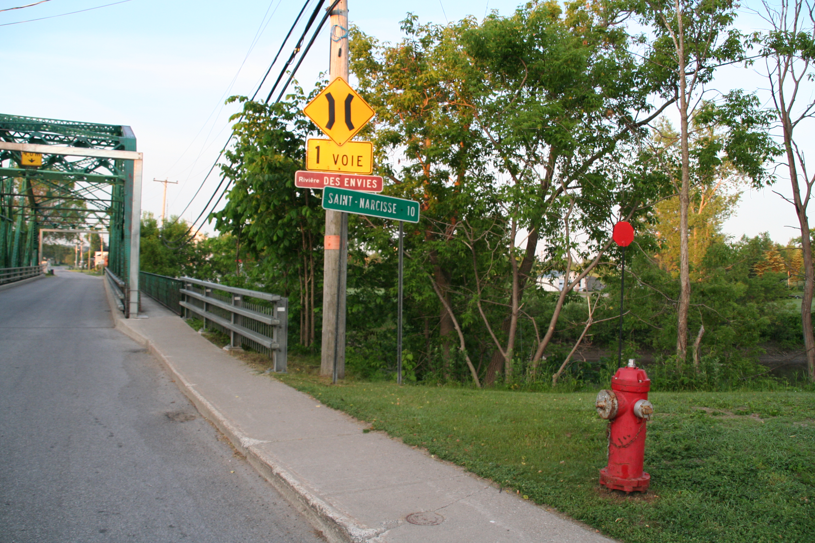
English: 46° 36' 29.1" N - 072° 23' 09.1 W, Mauricie, Les Chenaux Regional County Municipality, Saint-Stanislas, Thursday, June 18, 2009.
Français : 46° 36' 29.1" N - 072° 23' 09.1 O, Mauricie, MRC Les Chenaux, Saint-Stanislas, le jeudi 18 juin 2009. |
| Date | |
| Source | Own work |
| Author | Nichole Ouellette |
- More infos/photos, same author: ouellette001.com – florelaurentienne.com
- Québec en photos
- Rivière des Envies, Rivière Batiscan
- Artisan, menuisier et bûcheron Shop a bois
- Barrages et bûchage Contrats de bûchage
- Drave et moulins Daguerreotypes, photos anciennes Traversée en bac à la Grand'Mére, 1906
- About ouellette001.com
Licensing
I, the copyright holder of this work, hereby publish it under the following license:
This file is licensed under the Creative Commons Attribution-Share Alike 4.0 International license.
- You are free:
- to share – to copy, distribute and transmit the work
- to remix – to adapt the work
- Under the following conditions:
- attribution – You must give appropriate credit, provide a link to the license, and indicate if changes were made. You may do so in any reasonable manner, but not in any way that suggests the licensor endorses you or your use.
- share alike – If you remix, transform, or build upon the material, you must distribute your contributions under the same or compatible license as the original.
File history
Click on a date/time to view the file as it appeared at that time.
| Date/Time | Thumbnail | Dimensions | User | Comment | |
|---|---|---|---|---|---|
| current | 11:39, 24 May 2023 | | 3,456 × 2,304 (4.08 MB) | Nichole Ouellette | Uploaded own work with UploadWizard |
File usage
The following pages on the English Wikipedia use this file (pages on other projects are not listed):
Global file usage
The following other wikis use this file:
- Usage on fr.wikipedia.org