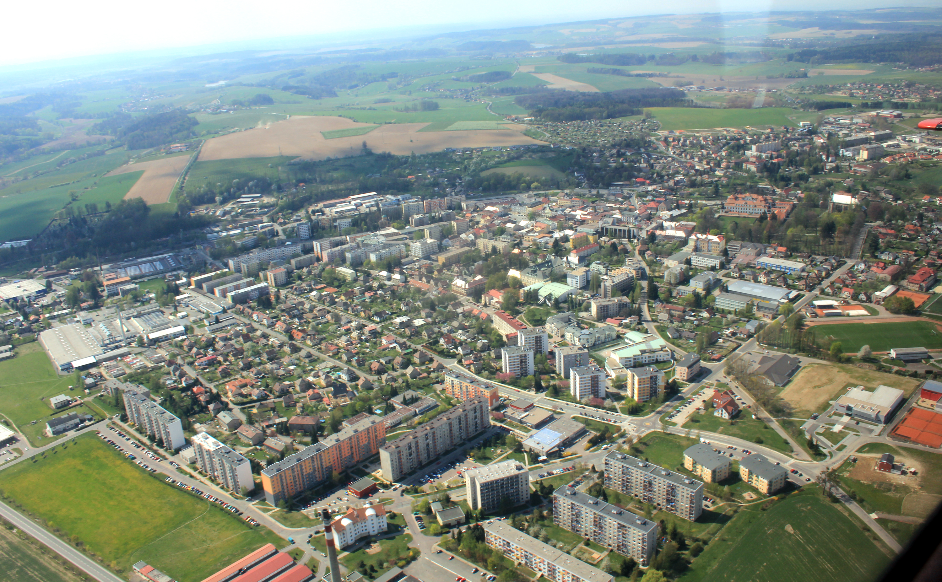
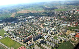
Size of this preview: 800 × 494 pixels. Other resolutions: 320 × 198 pixels | 640 × 396 pixels | 1,024 × 633 pixels | 1,280 × 791 pixels | 3,000 × 1,854 pixels.
Original file (3,000 × 1,854 pixels, file size: 4.35 MB, MIME type: image/jpeg)
| This is a file from the Wikimedia Commons. Information from its description page there is shown below. Commons is a freely licensed media file repository. You can help. |
Summary
| Description |
English: Town Rychnov nad Kněžnou from air, eastern Bohemia, Czech Republic
Čeština: Letecký pohled na město Rychnov nad Kněžnou, východní Čechy |
| Date | |
| Source | Own work |
| Author | Karelj |
| Camera location | | View this and other nearby images on: OpenStreetMap |
|---|
Licensing
| I, the copyright holder of this work, release this work into the public domain. This applies worldwide. In some countries this may not be legally possible; if so: I grant anyone the right to use this work for any purpose, without any conditions, unless such conditions are required by law. |
| Annotations | This image is annotated: View the annotations at Commons |
File history
Click on a date/time to view the file as it appeared at that time.
| Date/Time | Thumbnail | Dimensions | User | Comment | |
|---|---|---|---|---|---|
| current | 20:11, 13 June 2011 | | 3,000 × 1,854 (4.35 MB) | Karelj | {{Information |Description ={{en|1=Town Rychnov nad Kněžnou from air, eastern Bohemia, Czech Republic}} {{cs|1=Letecký pohled na město Rychnov nad Kněžnou, východní Čechy}} |Source |
File usage
The following pages on the English Wikipedia use this file (pages on other projects are not listed):
Global file usage
The following other wikis use this file:
- Usage on cs.wikipedia.org
- Usage on eo.wikipedia.org
- Usage on fr.wikipedia.org
- Usage on lt.wikipedia.org
- Usage on nl.wikipedia.org
- Usage on pl.wikipedia.org
- Usage on pt.wikipedia.org
- Usage on ru.wikipedia.org
- Usage on sr.wikipedia.org
- Usage on war.wikipedia.org