
Size of this preview: 800 × 600 pixels. Other resolutions: 320 × 240 pixels | 640 × 480 pixels | 1,024 × 768 pixels.
Original file (1,024 × 768 pixels, file size: 270 KB, MIME type: image/jpeg)
| This is a file from the Wikimedia Commons. Information from its description page there is shown below. Commons is a freely licensed media file repository. You can help. |
Summary
| Description |
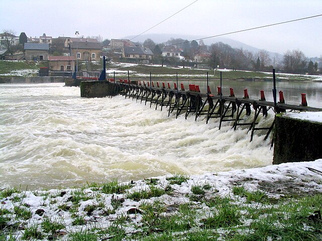
English: Manually operated weir near Revin on the River Meuse, France. Français : Le barrage entre Saint-Nicolas et Revin |
| Date | |
| Source | Own work |
| Author | Karel Roose |
| Object location | | View this and other nearby images on: OpenStreetMap |
|---|
Licensing
| I, the copyright holder of this work, release this work into the public domain. This applies worldwide. In some countries this may not be legally possible; if so: I grant anyone the right to use this work for any purpose, without any conditions, unless such conditions are required by law. |
File history
Click on a date/time to view the file as it appeared at that time.
| Date/Time | Thumbnail | Dimensions | User | Comment | |
|---|---|---|---|---|---|
| current | 12:13, 2 May 2012 | | 1,024 × 768 (270 KB) | Les Meloures | lightened |
| 12:06, 30 December 2005 |  | 1,024 × 768 (296 KB) | Carlos0253 | *Description: Manual operated weir near Revin on the Meuse (France) *Photographer: Karel Roose *Camera: Canon Powershot A70 *Shooting Date: 31-Dec-2004 Category:Buildings and structures Category:Hydraulic engineering Category:Weirs [[Categ |
File usage
The following pages on the English Wikipedia use this file (pages on other projects are not listed):
Global file usage
The following other wikis use this file:
- Usage on ca.wikipedia.org
- Usage on de.wikipedia.org
- Usage on es.wikipedia.org
- Usage on fr.wikipedia.org
- Usage on fy.wikipedia.org
- Usage on ja.wikipedia.org
- Usage on lb.wikipedia.org
- Usage on nl.wikipedia.org
- Usage on pl.wikipedia.org