
Size of this preview: 800 × 600 pixels. Other resolutions: 320 × 240 pixels | 640 × 480 pixels | 1,024 × 768 pixels | 1,280 × 960 pixels | 2,560 × 1,920 pixels.
Original file (2,560 × 1,920 pixels, file size: 834 KB, MIME type: image/jpeg)
| This is a file from the Wikimedia Commons. Information from its description page there is shown below. Commons is a freely licensed media file repository. You can help. |
Summary
| Description |
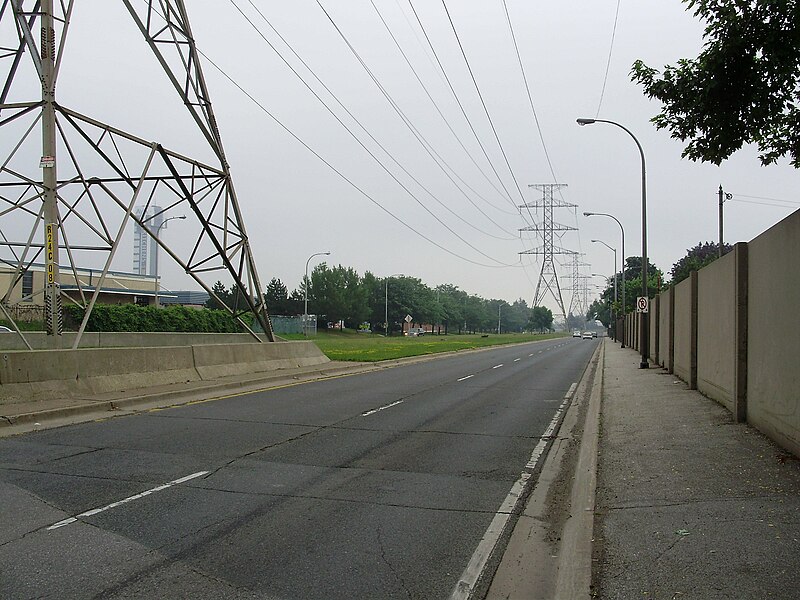
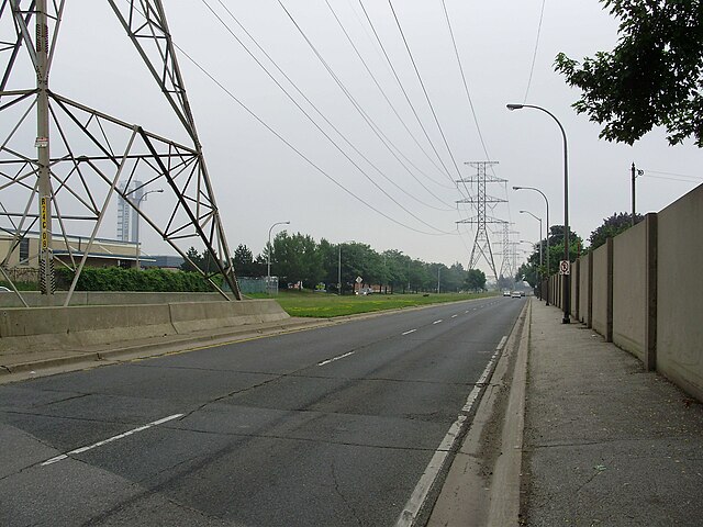
English: The Queensway (Peel Regional Road 20) in Mississauga, Canada, east of Dixie Road and west of the Etobicoke Creek, where its median is occupied by a Hydro corridor. |
| Date | |
| Source | Own work |
| Author | GTD Aquitaine |
Licensing
| I, the copyright holder of this work, release this work into the public domain. This applies worldwide. In some countries this may not be legally possible; if so: I grant anyone the right to use this work for any purpose, without any conditions, unless such conditions are required by law. |
File history
Click on a date/time to view the file as it appeared at that time.
| Date/Time | Thumbnail | Dimensions | User | Comment | |
|---|---|---|---|---|---|
| current | 02:14, 13 July 2008 | | 2,560 × 1,920 (834 KB) | GTD Aquitaine~commonswiki | {{Information |Description={{en|1=The Queensway (Peel Regional Road 20) in Mississauga, Canada, east of Dixie Road and west of the Etobicoke Creek, where its median is occupied by a hydro corridor. }} |Source=Own work by uploader |Author=[[User:GTD Aquita |
File usage
The following pages on the English Wikipedia use this file (pages on other projects are not listed):