
Size of this PNG preview of this SVG file: 600 × 600 pixels. Other resolutions: 240 × 240 pixels | 480 × 480 pixels | 768 × 768 pixels | 1,024 × 1,024 pixels | 2,048 × 2,048 pixels | 1,078 × 1,078 pixels.
Original file (SVG file, nominally 1,078 × 1,078 pixels, file size: 351 KB)
| This is a file from the Wikimedia Commons. Information from its description page there is shown below. Commons is a freely licensed media file repository. You can help. |
Summary
| Description | |
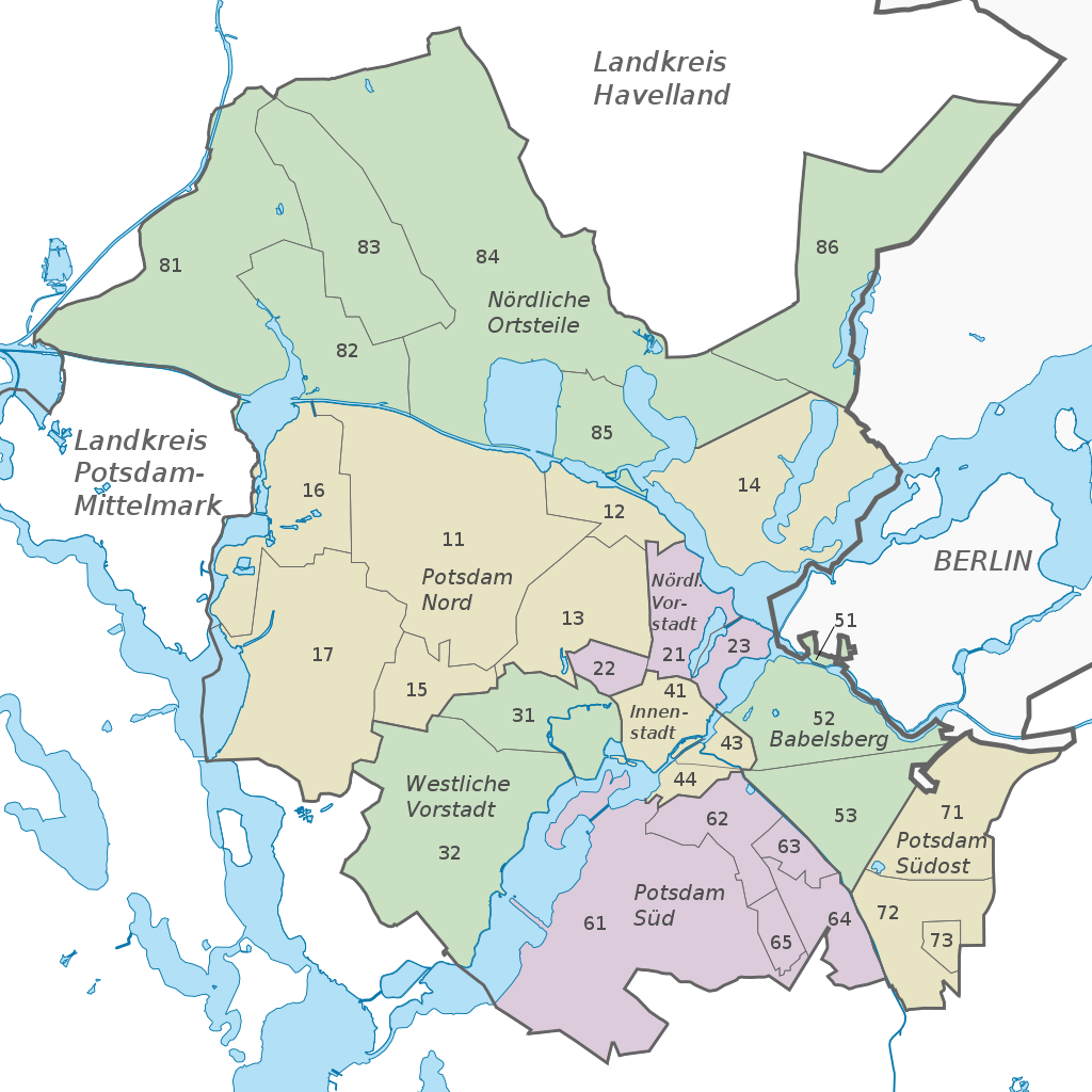
| Legend | List of boroughs:
|
| Date | |
| Source | Own work using: Stadt Potsdam: Arbeitslosigkeit in der Landeshauptstadt Potsdam 2006. at the Wayback Machine, OpenStreetMap Data (© OpenStreetMap und Mitwirkende, CC-BY-SA); 2021 revisions: Stadt Potsdam: Statistischer Jahresbericht 2019 |
| Author |
TUBS |
| SVG development |
Licensing
This file is licensed under the Creative Commons Attribution-Share Alike 2.0 Generic license.
- You are free:
- to share – to copy, distribute and transmit the work
- to remix – to adapt the work
- Under the following conditions:
- attribution – You must give appropriate credit, provide a link to the license, and indicate if changes were made. You may do so in any reasonable manner, but not in any way that suggests the licensor endorses you or your use.
- share alike – If you remix, transform, or build upon the material, you must distribute your contributions under the same or compatible license as the original.

|
I'd greatly appreciate, that you attribute this media file to Wikimedia Commons, if used outside Wikipedia or Commons. For use in publications such as books, newspapers, blogs, websites, please insert here the following line:
|
File history
Click on a date/time to view the file as it appeared at that time.
| Date/Time | Thumbnail | Dimensions | User | Comment | |
|---|---|---|---|---|---|
| current | 23:18, 23 February 2022 | | 1,078 × 1,078 (351 KB) | Speravir | update for better font display |
| 22:42, 21 February 2022 |  | 1,078 × 1,078 (351 KB) | Speravir | update/correction, confer https://www.potsdam.de/sites/default/files/documents/stadtteileimblick2019.pdf#page=4 | |
| 07:40, 21 May 2021 |  | 1,078 × 1,078 (467 KB) | TUBS | https://www.potsdam.de/sites/default/files/documents/statistischer_jahresbericht_2019_landeshauptstadt_potsdam.pdf_online_0.pdf#page=282 |
File usage
The following pages on the English Wikipedia use this file (pages on other projects are not listed):
Global file usage
The following other wikis use this file:
- Usage on bg.wikipedia.org
- Usage on de.wikipedia.org
- Usage on eo.wikipedia.org
- Usage on ka.wikipedia.org
- Usage on nl.wikipedia.org