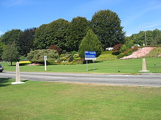
Size of this preview: 800 × 600 pixels. Other resolutions: 320 × 240 pixels | 640 × 480 pixels | 1,024 × 768 pixels | 1,280 × 960 pixels | 2,272 × 1,704 pixels.
Original file (2,272 × 1,704 pixels, file size: 2.17 MB, MIME type: image/jpeg)
| This is a file from the Wikimedia Commons. Information from its description page there is shown below. Commons is a freely licensed media file repository. You can help. |
| Description |
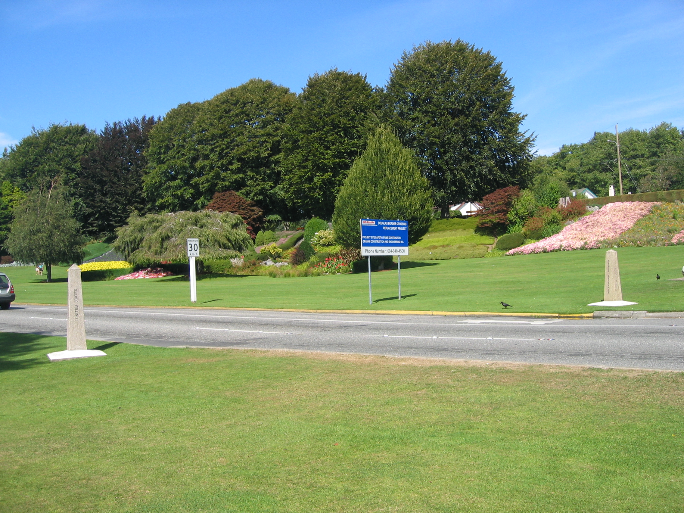
English: International boundary markers (the columns at each side of the road) at Peace Arch Park, from the US side. Blaine, Washington, USA. |
|||
| Date | ||||
| Source | Own work | |||
| Author | Arnold C (User:Buchanan-Hermit) | |||
| Permission (Reusing this file) |
|

| Camera location | | View this and other nearby images on: OpenStreetMap |
|---|
File history
Click on a date/time to view the file as it appeared at that time.
| Date/Time | Thumbnail | Dimensions | User | Comment | |
|---|---|---|---|---|---|
| current | 03:38, 29 August 2006 | | 2,272 × 1,704 (2.17 MB) | Buchanan-Hermit~commonswiki | {{subst:Information |Description=International boundary markers (the columns at each side of the road) at Peace Arch Park, from the US side. Blaine, Washington, USA. |Source=Own work |Date=28 August 2006 |Author=Arnold C |Permission={{pd-user|Buchanan-Her |
| 03:36, 29 August 2006 |  | 2,272 × 1,704 (2.17 MB) | Buchanan-Hermit~commonswiki | {{subst:Information |Description=International boundary markers (the columns at each side of the road) at Peace Arch Park, from the US side. Blaine, Washington, USA. |Source=Own work |Date=28 August 2006 |Author=Arnold C |Permission={{pd-user|Buchanan-Her |
File usage
The following pages on the English Wikipedia use this file (pages on other projects are not listed):