
Size of this preview: 800 × 533 pixels. Other resolutions: 320 × 213 pixels | 640 × 427 pixels | 1,024 × 683 pixels | 1,280 × 853 pixels | 2,560 × 1,707 pixels | 4,608 × 3,072 pixels.
Original file (4,608 × 3,072 pixels, file size: 4.95 MB, MIME type: image/jpeg)
| This is a file from the Wikimedia Commons. Information from its description page there is shown below. Commons is a freely licensed media file repository. You can help. |
| Camera location | | View this and other nearby images on: OpenStreetMap |
|---|
Summary
| Description |
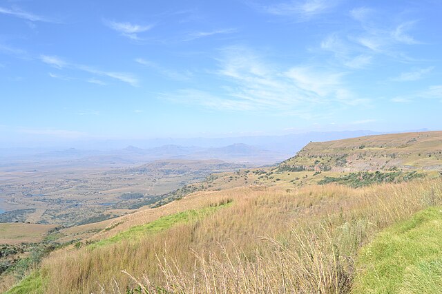
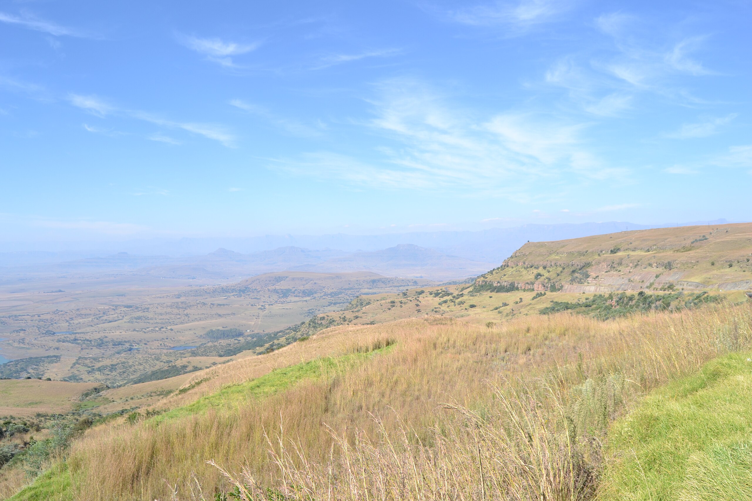
Français : Le fr:Oliviershoek Pass, à la limite entre les provinces d'Orange et Kwazulu-Natal, fr:Afrique du Sud. Vue sur le versan sud,(Kwazulu-Natal).
English: Oliviershoek Pass, between the Orange and the Kwazulu Natal Provinces, South Africa. View over the south side (Kwazulu-Natal). |
| Date | |
| Source | Own work |
| Author | Vberger |
Licensing
| I, the copyright holder of this work, release this work into the public domain. This applies worldwide. In some countries this may not be legally possible; if so: I grant anyone the right to use this work for any purpose, without any conditions, unless such conditions are required by law. |
File history
Click on a date/time to view the file as it appeared at that time.
| Date/Time | Thumbnail | Dimensions | User | Comment | |
|---|---|---|---|---|---|
| current | 18:12, 29 May 2012 | | 4,608 × 3,072 (4.95 MB) | Vberger~commonswiki | {{Information |Description ={{en|1=dqsf}} |Source ={{own}} |Author =Vberger |Date = |Permission = |other_versions = }} dfs |
File usage
The following pages on the English Wikipedia use this file (pages on other projects are not listed):
Global file usage
The following other wikis use this file:
- Usage on af.wikipedia.org
- Usage on fr.wikipedia.org