No higher resolution available.
OS_map_Middlesbrough-Stockton_area.png (700 × 473 pixels, file size: 111 KB, MIME type: image/png)
| This is a file from the Wikimedia Commons. Information from its description page there is shown below. Commons is a freely licensed media file repository. You can help. |
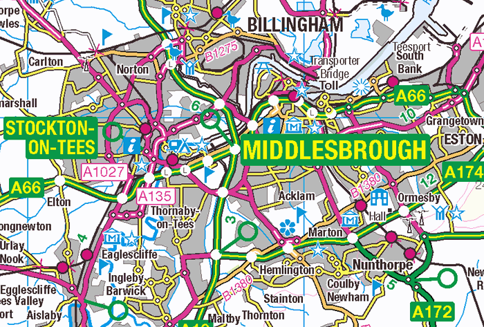
| Description | Middlesbrough-Stockton area map | ||||||
| Date | |||||||
| Source | OS OpenData | ||||||
| Author | Ordnance Survey | ||||||
| Permission (Reusing this file) |
|
_(St_Edwards_Crown).svg)
File history
Click on a date/time to view the file as it appeared at that time.
| Date/Time | Thumbnail | Dimensions | User | Comment | |
|---|---|---|---|---|---|
| current | 19:44, 2 May 2013 | | 700 × 473 (111 KB) | Prioryman | {{Information |Description=Middlesbrough-Stockton area map |Source=OS OpenData |Date=2 May 2013 |Author=Ordnance Survey |Permission={{OS OpenData}} |other_versions= }} |
File usage
No pages on the English Wikipedia use this file (pages on other projects are not listed).
Global file usage
The following other wikis use this file:
- Usage on tr.wikipedia.org