Size of this preview: 657 × 600 pixels. Other resolutions: 263 × 240 pixels | 526 × 480 pixels | 1,000 × 913 pixels.
Original file (1,000 × 913 pixels, file size: 282 KB, MIME type: image/png)
| This is a file from the Wikimedia Commons. Information from its description page there is shown below. Commons is a freely licensed media file repository. You can help. |

|
This locator map image could be re-created using vector graphics as an SVG file. This has several advantages; see Commons:Media for cleanup for more information. If an SVG form of this image is available, please upload it and afterwards replace this template with
{{vector version available|new image name}}.
It is recommended to name the SVG file “Norwegian Sea blank map.svg”—then the template Vector version available (or Vva) does not need the new image name parameter. |
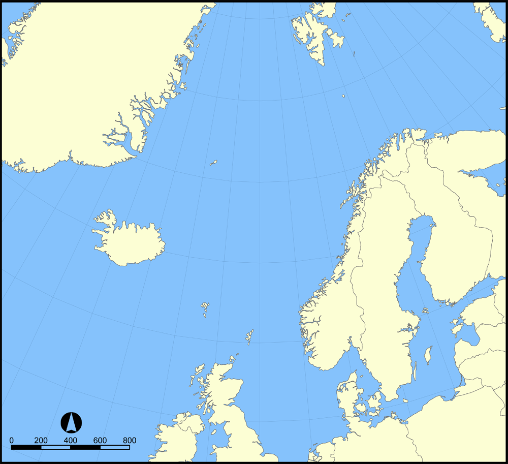
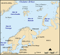
A blank version of the Image:Norwegian Sea map.png map showing the location of the Norwegian Sea in the North Atlantic Ocean.
Feel free to label a copy of this map for use in other language editions of the Wikipedia.
Created by NormanEinstein, October 31, 2005.
I, the copyright holder of this work, hereby publish it under the following licenses:

|
Permission is granted to copy, distribute and/or modify this document under the terms of the GNU Free Documentation License, Version 1.2 or any later version published by the Free Software Foundation; with no Invariant Sections, no Front-Cover Texts, and no Back-Cover Texts. A copy of the license is included in the section entitled GNU Free Documentation License. |
| This file is licensed under the Creative Commons Attribution-Share Alike 3.0 Unported license. | ||
| ||
| This licensing tag was added to this file as part of the GFDL licensing update. |
You may select the license of your choice.
[]
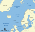
- Norwegian Sea
-

-
 bosanski
 -
 čeština
 -
 dansk
dansk -
 Deutsch
 -
 eesti
eesti -
 English
 -
 français
 -
 français (Jan Mayen localisation)
 -
 hrvatski
 -
 italiano
 -
 magyar
 -
 magyar
 -
 norsk
norsk -
 svenska
 -
 македонски
 -
 нохчийн
 -
 русский
 -
 українська
 -
 中文
中文 -
 עברית
עברית


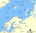
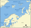
- Barents Sea
-

-
 Deutsch
 -
 English
 -
 español
 -
 hrvatski
 -
 magyar
 -
 Kiswahili
 -
 русский
 -
 Ελληνικά


File history
Click on a date/time to view the file as it appeared at that time.
| Date/Time | Thumbnail | Dimensions | User | Comment | |
|---|---|---|---|---|---|
| current | 16:30, 31 May 2015 | | 1,000 × 913 (282 KB) | Cmdrjameson | Compressed with pngout. Reduced by 121kB (30% decrease). |
| 15:20, 31 October 2005 |  | 1,000 × 913 (403 KB) | NormanEinstein | A blank version of the Norwegian Sea map.png map showing the location of the Norwegian Sea in the North Atlantic Ocean. Feel free to label a copy of this map for use in other language editions of the Wikipedia. Created by NormanEinstein, October 31 |
File usage
The following pages on the English Wikipedia use this file (pages on other projects are not listed):
- User:Andber08
- User:Anjoe
- User:Autioitua
- User:BKfi
- User:Big Adamsky
- User:Chino
- User:Deallus
- User:Elpuellodiablo
- User:Familien.benito
- User:Finlandestonia
- User:Forngrav
- User:Gsmgm/Userboxes
- User:Hietsu
- User:Ikterus
- User:Inge
- User:Islander(Scandinavia)
- User:Jannizz
- User:Josso/Userboxes/My Userboxes/
- User:K9re11
- User:Kaljami
- User:Kasper Holl
- User:Kilogramm89
- User:Luredreier
- User:MRqtH2
- User:MX44
- User:Necz0r
- User:NordicStorm
- User:Nv02migu
- User:Revontuli~enwiki
- User:Ricmik~enwiki
- User:SKvalen
- User:Sasper
- User:Steve Hart
- User:Strappado~enwiki
- User:Tamino
- User:Tamino/MyUserboxes
- User:The monkeyhate
- User:Waaaak
- User:Wernher
- Wikipedia:Userboxes/Location/Europe
- Template:User Norden