Size of this preview: 652 × 599 pixels. Other resolutions: 261 × 240 pixels | 522 × 480 pixels | 853 × 784 pixels.
Original file (853 × 784 pixels, file size: 181 KB, MIME type: image/jpeg)
| This is a file from the Wikimedia Commons. Information from its description page there is shown below. Commons is a freely licensed media file repository. You can help. |

|
This map image could be re-created using vector graphics as an SVG file. This has several advantages; see Commons:Media for cleanup for more information. If an SVG form of this image is available, please upload it and afterwards replace this template with
{{vector version available|new image name}}.
It is recommended to name the SVG file “Northern Nigeria2.svg”—then the template Vector version available (or Vva) does not need the new image name parameter. |


Summary
| Description |
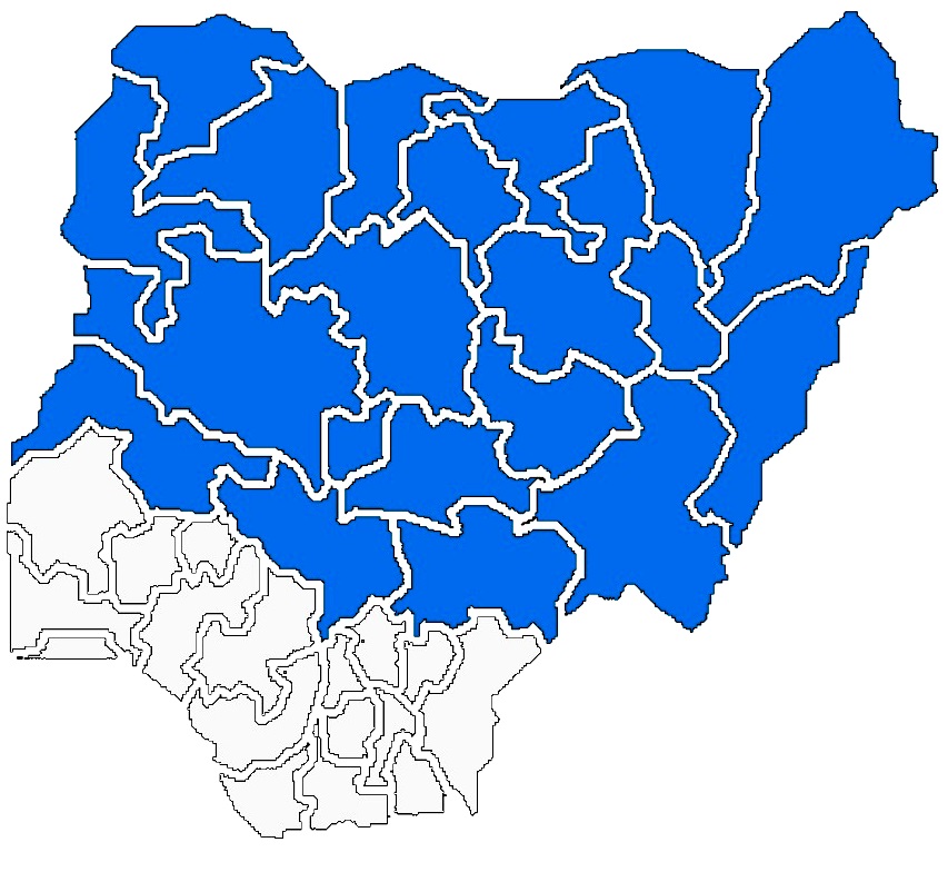
English: Political Map of Northern Nigeria |
| Source | Edited from the Original By: Geographical Society of the North |
| Author | Alaminalpha |
Licensing
I, the copyright holder of this work, hereby publish it under the following license:
This file is licensed under the Creative Commons Attribution 3.0 Unported license.
- You are free:
- to share – to copy, distribute and transmit the work
- to remix – to adapt the work
- Under the following conditions:
- attribution – You must give appropriate credit, provide a link to the license, and indicate if changes were made. You may do so in any reasonable manner, but not in any way that suggests the licensor endorses you or your use.
File history
Click on a date/time to view the file as it appeared at that time.
| Date/Time | Thumbnail | Dimensions | User | Comment | |
|---|---|---|---|---|---|
| current | 21:00, 21 June 2020 | | 853 × 784 (181 KB) | IbrahimBA240 | Reverted to version as of 17:11, 26 February 2020 (UTC) |
| 12:28, 16 May 2020 |  | 800 × 616 (102 KB) | Jamie Tubers | Reverted to version as of 16:16, 29 December 2016 (UTC) | |
| 17:11, 26 February 2020 |  | 853 × 784 (181 KB) | IbrahimBA240 | Reverted to version as of 17:39, 4 November 2014 (UTC) | |
| 16:16, 29 December 2016 |  | 800 × 616 (102 KB) | Jamie Tubers | better clarity | |
| 17:39, 4 November 2014 |  | 853 × 784 (181 KB) | Alaminalpha | {{Information |Description ={{en|1=Political Map of Northern Nigeria}} |Source =Edited from the Original By: Geographical Society of the North |Author =Alaminalpha |Date = |Permission = |other_versions = }} |
File usage
No pages on the English Wikipedia use this file (pages on other projects are not listed).
Global file usage
The following other wikis use this file:
- Usage on ar.wikipedia.org
- Usage on ha.wikipedia.org
- Usage on ru.wikipedia.org