Size of this preview: 800 × 600 pixels. Other resolutions: 320 × 240 pixels | 640 × 480 pixels | 1,024 × 768 pixels | 1,280 × 960 pixels | 2,560 × 1,920 pixels | 2,816 × 2,112 pixels.
Original file (2,816 × 2,112 pixels, file size: 3.39 MB, MIME type: image/jpeg)
| This is a file from the Wikimedia Commons. Information from its description page there is shown below. Commons is a freely licensed media file repository. You can help. |
Summary
| Description |
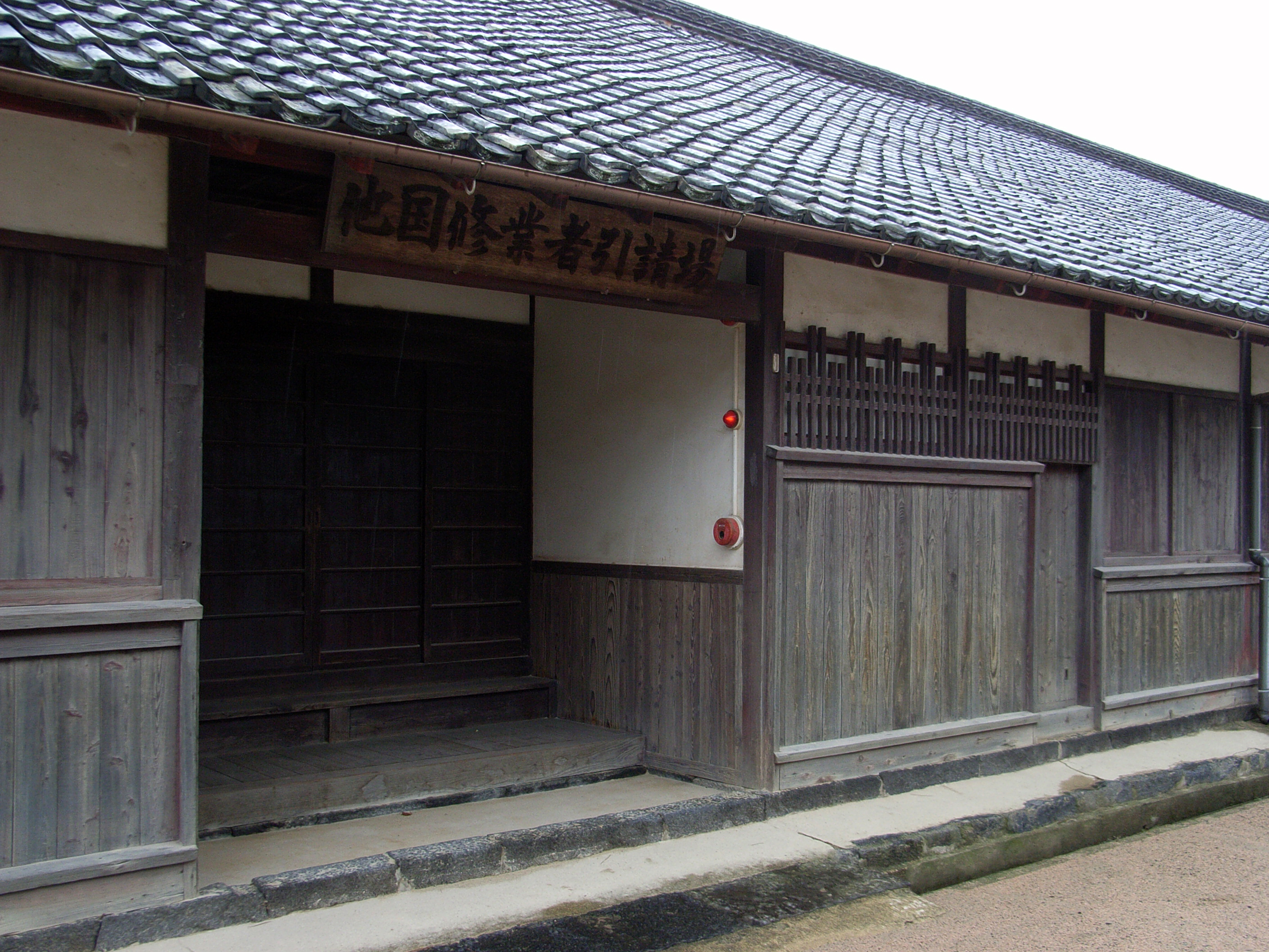
日本語: 萩明倫館。 English: Hagi Meirinkan. |
| Date | |
| Source | 明倫館 (15) |
| Author | Kuru man from Japan |
| Camera location | | View this and other nearby images on: OpenStreetMap |
|---|
Licensing
This file is licensed under the Creative Commons Attribution 2.0 Generic license.
Attribution: Kuru man
- You are free:
- to share – to copy, distribute and transmit the work
- to remix – to adapt the work
- Under the following conditions:
- attribution – You must give appropriate credit, provide a link to the license, and indicate if changes were made. You may do so in any reasonable manner, but not in any way that suggests the licensor endorses you or your use.
| This image, originally posted to Flickr, was reviewed on 29 March 2011 by the administrator or reviewer Juliancolton, who confirmed that it was available on Flickr under the stated license on that date. |
| This is a retouched picture, which means that it has been digitally altered from its original version. Modifications: contrast aangepast. Modifications made by トトト.
|
File history
Click on a date/time to view the file as it appeared at that time.
| Date/Time | Thumbnail | Dimensions | User | Comment | |
|---|---|---|---|---|---|
| current | 01:57, 29 March 2011 | | 2,816 × 2,112 (3.39 MB) | トトト | {{Information |Description={{ja|1=明倫館。}}{{en|1=Meirinkan.}} |Source=[http://www.flickr.com/photos/kuruman/5047006195/ 明倫館 (15)] |Date=2010-09-22 14:21 |Author=[http://www.flickr.com/photos/5688 |
File usage
The following pages on the English Wikipedia use this file (pages on other projects are not listed):
Global file usage
The following other wikis use this file: