
Size of this preview: 800 × 495 pixels. Other resolutions: 320 × 198 pixels | 640 × 396 pixels | 1,024 × 634 pixels | 1,280 × 792 pixels | 3,000 × 1,856 pixels.
Original file (3,000 × 1,856 pixels, file size: 2.23 MB, MIME type: image/jpeg)
| This is a file from the Wikimedia Commons. Information from its description page there is shown below. Commons is a freely licensed media file repository. You can help. |
Summary
| Description |
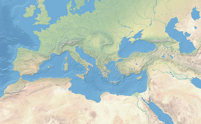
Français : Carte vierge s'étendant du bassin méditerranéen au Proche-Orient, datant d'avant l'an 1000 (présence de la mer d'Aral, absence des polders aux Pays-Bas, absence du canal de Suez et du lac Nasser). Le cadrage de cette carte permet de montrer l'étendue maximale de l'Empire Romain. Projection conique conforme de Lambert. Carte centrée au 12,5°E. |
| Date | |
| Source | Own work. Raster map and Aral sea from Natural Earth. |
| Author | Flappiefh |
| Other versions |
|
.jpg)

Licensing
I, the copyright holder of this work, hereby publish it under the following license:
This file is licensed under the Creative Commons Attribution-Share Alike 4.0 International license.
- You are free:
- to share – to copy, distribute and transmit the work
- to remix – to adapt the work
- Under the following conditions:
- attribution – You must give appropriate credit, provide a link to the license, and indicate if changes were made. You may do so in any reasonable manner, but not in any way that suggests the licensor endorses you or your use.
- share alike – If you remix, transform, or build upon the material, you must distribute your contributions under the same or compatible license as the original.
File history
Click on a date/time to view the file as it appeared at that time.
| Date/Time | Thumbnail | Dimensions | User | Comment | |
|---|---|---|---|---|---|
| current | 11:52, 6 April 2015 | | 3,000 × 1,856 (2.23 MB) | Flappiefh | User created page with UploadWizard |
File usage
The following pages on the English Wikipedia use this file (pages on other projects are not listed):
Global file usage
The following other wikis use this file:
- Usage on fr.wikipedia.org
- Burdigala
- Lyon pendant l'Antiquité
- Bataille d'Andrinople (378)
- Antioche
- Ruspina
- Augustonemetum
- Glanum
- Éphèse
- Rotomagus
- Augustoritum
- Lattara
- Vorgium
- Vorganium
- Bataille de Philippes
- Bataille de Chéronée (86 av. J.-C.)
- Bataille de Carrhes
- Gadès
- Champlieu
- Ad Silanum
- Argentoratum
- Théâtre gallo-romain des Bouchauds
- Vesunna
- Vesontio
- Bataille de Pharsale
- Epomanduodurum
- Bataille de Thapsus
- Bataille de l'Ad Decimum
- Vieux-la-Romaine
- Divodurum Mediomatricorum
- Forum Julii
- Bataille de Munda
- Bataille de Magnésie du Sipyle
- Bataille de Dyrrachium (48 av. J.-C.)
- Aquae Sextiae
- Arausio
- Gisacum
- Argentomagus
- Cassinomagus
- Augusta Viromanduorum
- Site archéologique de Grand
- Thapsus
- Caesarodunum
- Oppidum d'Ensérune
- Autricum
- Cenabum
- Anderitum (Gaule)
- Augustodunum
- Rubricaire
- Histoire d'Arles à l'époque romaine
- Villa gallo-romaine de Lamarque
View more global usage of this file.