Size of this preview: 800 × 530 pixels. Other resolutions: 320 × 212 pixels | 640 × 424 pixels | 1,024 × 678 pixels | 1,280 × 848 pixels | 1,620 × 1,073 pixels.
Original file (1,620 × 1,073 pixels, file size: 1.77 MB, MIME type: image/png)
| This is a file from the Wikimedia Commons. Information from its description page there is shown below. Commons is a freely licensed media file repository. You can help. |
Summary
| Description |
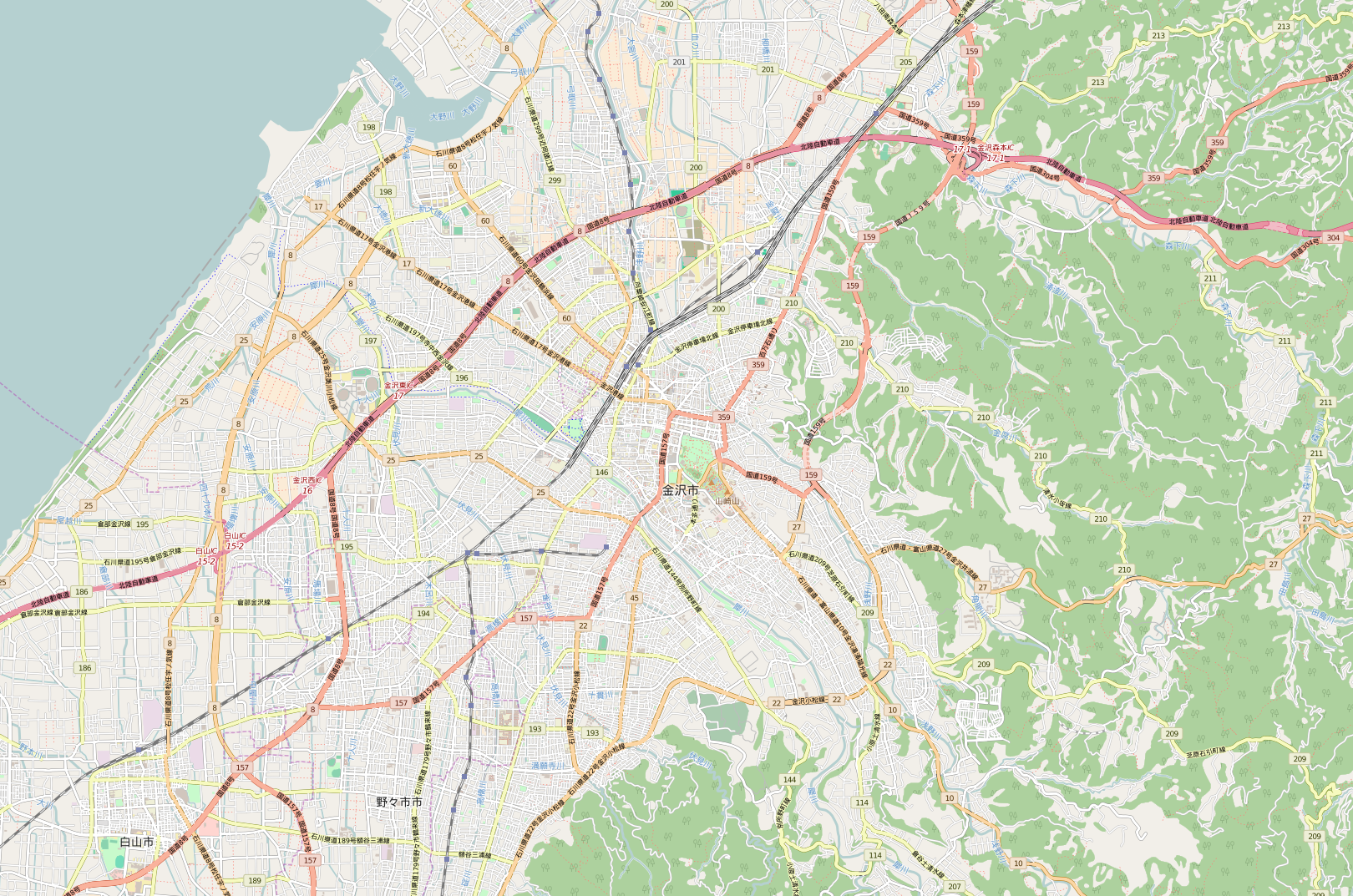
English: OpenStreetMap location map of Kanazawa, Japan.
|
| Date | |
| Source | OpenStreetMap |
| Author | OpenStreetMap contributors |
Licensing
| This work contains information from OpenStreetMap, which is made available under the Open Database License (ODbL).
The ODbL does not require any particular license for maps produced from ODbL data. Prior to 1 August 2020, map tiles produced by the OpenStreetMap Foundation were licensed under the CC-BY-SA-2.0 license. Maps produced by other people may be subject to other licences. |
File history
Click on a date/time to view the file as it appeared at that time.
| Date/Time | Thumbnail | Dimensions | User | Comment | |
|---|---|---|---|---|---|
| current | 08:53, 4 December 2015 | | 1,620 × 1,073 (1.77 MB) | Tiri-man | Replace the new file |
| 08:48, 4 December 2015 |  | 600 × 397 (330 KB) | Tiri-man | User created page with UploadWizard |
File usage
The following pages on the English Wikipedia use this file (pages on other projects are not listed):
Global file usage
The following other wikis use this file:
- Usage on fr.wikipedia.org
- Usage on ja.wikipedia.org
- 兼六園
- 金沢大学
- 金沢城
- 尾山神社
- 香林坊
- チカモリ遺跡
- 石川県立美術館
- 成巽閣
- 石川近代文学館
- 金沢21世紀美術館
- 石川県立歴史博物館
- 加賀本多博物館
- 天徳院 (金沢市)
- 石浦神社
- 泉鏡花記念館
- 前田土佐守家資料館
- 御経塚遺跡
- 大乗寺
- 東大寺領横江荘荘家跡
- 石川護国神社
- 金沢神社
- 石川県産業展示館
- 豊国神社 (金沢市)
- 主計町 (金沢市)
- 桜橋 (金沢市)
- 尾崎神社
- 東山ひがし
- 寺町 (金沢市)
- 経王寺 (金沢市)
- 西部緑地公園
- 伏見寺
- 橋場町 (金沢市)
- 犀川大橋
- 御所町 (金沢市)
- 大野日吉神社
- 中村神社
- 泉野櫻木神社
- 片町 (金沢市)
- 南町 (金沢市)
- 竪町 (金沢市)
- 石川県庁舎
- 広坂 (金沢市)
- 本多町 (金沢市)
- 石川県政記念しいのき迎賓館
- 本多の森公園
- 健民海浜公園
- 金沢能楽美術館
- 四高記念文化交流館
- 金沢市立中村記念美術館
View more global usage of this file.