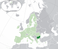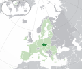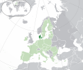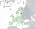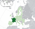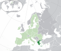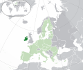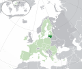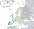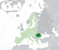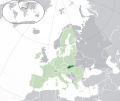
Size of this preview: 721 × 600 pixels. Other resolutions: 289 × 240 pixels | 577 × 480 pixels | 923 × 768 pixels | 1,231 × 1,024 pixels | 2,056 × 1,710 pixels.
Original file (2,056 × 1,710 pixels, file size: 176 KB, MIME type: image/png)
File history
Click on a date/time to view the file as it appeared at that time.
| Date/Time | Thumbnail | Dimensions | User | Comment | |
|---|---|---|---|---|---|
| current | 19:20, 17 June 2007 |  | 2,056 × 1,710 (176 KB) | Quizimodo~commonswiki | image (updated) |
| 09:35, 17 June 2007 |  | 2,056 × 1,710 (226 KB) | Quizimodo~commonswiki | image (tweaked) | |
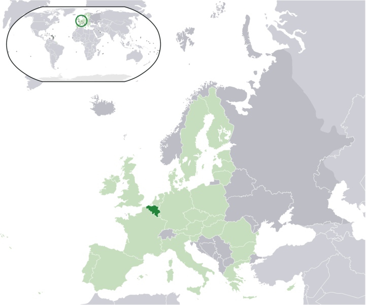
| 08:40, 17 June 2007 |  | 2,056 × 1,710 (226 KB) | Quizimodo~commonswiki | {{Information |Description=Location map: Belgium (dark green) / European Union (light green) / Europe (dark grey); inspired by and consistent with general country locator maps by User:Vardion, et al |Source=self-made |Date=17 June 2007 |Author= [[User:Qui |
File usage
No pages on the English Wikipedia use this file (pages on other projects are not listed).
Global file usage
The following other wikis use this file:
- Usage on an.wikipedia.org
- Usage on az.wiktionary.org
- Usage on dz.wikipedia.org
- Usage on eu.wiktionary.org
- Usage on hif.wikipedia.org
- Usage on is.wikipedia.org
- Usage on kn.wikipedia.org
- Usage on krc.wikipedia.org
- Usage on lv.wikipedia.org
- Usage on ms.wikipedia.org
- Usage on pl.wiktionary.org
- Usage on rue.wikipedia.org
- Usage on sah.wikipedia.org
- Usage on srn.wikipedia.org
- Usage on su.wikipedia.org
- Usage on tpi.wikipedia.org
- Usage on ug.wikipedia.org


