Size of this preview: 786 × 600 pixels. Other resolutions: 315 × 240 pixels | 629 × 480 pixels | 1,007 × 768 pixels | 1,280 × 977 pixels | 2,560 × 1,953 pixels | 2,886 × 2,202 pixels.
Original file (2,886 × 2,202 pixels, file size: 895 KB, MIME type: image/png)
| This is a file from the Wikimedia Commons. Information from its description page there is shown below. Commons is a freely licensed media file repository. You can help. |
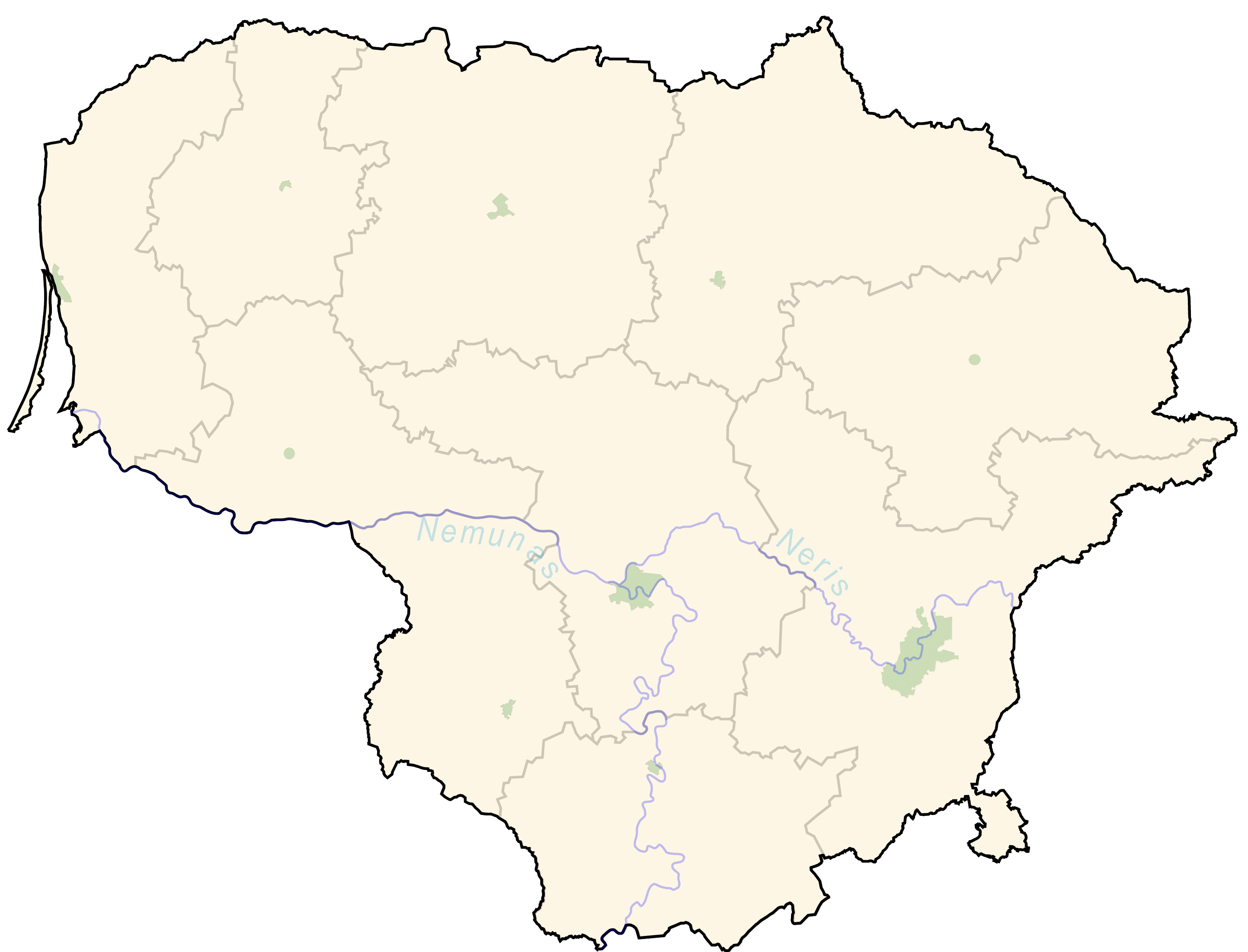
English: "Blank" map of Lithuania, major cities and rivers blured
Deutsch: "Leere" Karte von Litauen, die größten Städte und die zwei wichtigsten Flüsse des Landes hervorgehoben, zum Eintragen der Positionen von Orten
Esperanto: "Malplena" mapo de Litovio, helkolore desegnitaj la plej grandaj urboj kaj la du plej gravaj riveroj, por krei bildojn kun la pozicio de loko
| I, the copyright holder of this work, release this work into the public domain. This applies worldwide. In some countries this may not be legally possible; if so: I grant anyone the right to use this work for any purpose, without any conditions, unless such conditions are required by law. |
File history
Click on a date/time to view the file as it appeared at that time.
| Date/Time | Thumbnail | Dimensions | User | Comment | |
|---|---|---|---|---|---|
| current | 20:35, 1 October 2012 | | 2,886 × 2,202 (895 KB) | Palosirkka | Optimized with http://trimage.org |
| 16:12, 23 April 2008 |  | 2,886 × 2,202 (895 KB) | M.K. | ||
| 06:01, 28 July 2005 |  | 2,886 × 2,202 (378 KB) | Knutux | Blank map of the Lithuania with blured major cities and rivers {{PD-self}} Category:Maps of Lithuania |
File usage
No pages on the English Wikipedia use this file (pages on other projects are not listed).
Global file usage
The following other wikis use this file:
- Usage on ka.wikipedia.org
- Usage on lt.wikipedia.org
- Šablonas:Lt-miestai-stub
- Naudotojas:Elnuko/New LT Miestai stub
- Gandrališkės
- Sudmantai (Klaipėda)
- Alanta (Raguva)
- Kadūnai
- Šablonas:Lt-šablonas
- Plytinė (Klaipėda)
- Lelikoniai II
- Peteša
- Varšauka (Panevėžys)
- Balynaitė
- Beržamantė
- Budriškė (Švenčionys)
- Dūčiai (viensėdis)
- Dvyliškė II
- Gudiškiai (Biržai)
- Taurakalnis
- Jaluvka
- Jasnagurka (Kražiai)
- Jeteliškiai
- Juodeikėliai II
- Kadriškės
- Kloniai (Trakai)
- Kvietkeliai (Šiauliai)
- Laukagaliai (Krekenava)
- Linkuva (viensėdis)
- Liudvinava (Turmantas)
- Revai (Prienai)
- Multinava
- Narantis
- Norbutai
- Pabūdavietis
- Padmerkys
- Pazastarčiai
- Pikieta (Alytus)
- Pyvorai (Plungė)
- Plentauka
- Polka (Trakai)
- Pupojai (Alytus)
- Ramygala (viensėdis)
- Ražų Eiguvos
- Rimšoniškis
- Ropėjos
- Rupšiai (Šilalė)
- Samara (Panevėžys)
- Sieliškės
- Simaičiai
- Sorka
View more global usage of this file.