Size of this preview: 526 × 599 pixels. Other resolutions: 211 × 240 pixels | 634 × 722 pixels.
Original file (634 × 722 pixels, file size: 1.03 MB, MIME type: image/png)
| This is a file from the Wikimedia Commons. Information from its description page there is shown below. Commons is a freely licensed media file repository. You can help. |
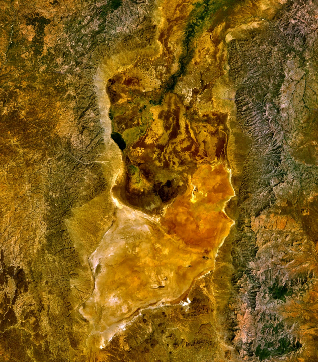
| Description | Lake Chew Bahir (or what's left of it) as seen from space. | |||
| Date | ||||
| Source | World Wind | |||
| Author | NASA | |||
| Permission (Reusing this file) |
|

File history
Click on a date/time to view the file as it appeared at that time.
| Date/Time | Thumbnail | Dimensions | User | Comment | |
|---|---|---|---|---|---|
| current | 08:06, 31 March 2010 | | 634 × 722 (1.03 MB) | Black-Velvet | {{Information |Description=Lake Chew Bahir (or what's left of it) as seen from space. |Source=World Wind |Date=2010-03-31 |Author=NASA |Permission={{PD-WorldWind}} |other_versions= }} Category:Lakes of Ethiopia Category:Salt Lakes |
File usage
The following pages on the English Wikipedia use this file (pages on other projects are not listed):
Global file usage
The following other wikis use this file:
- Usage on de.wikipedia.org
- Usage on es.wikipedia.org
- Usage on fi.wikipedia.org
- Usage on fr.wikipedia.org
- Usage on hu.wikipedia.org
- Usage on my.wikipedia.org
- Usage on ru.wikipedia.org
- Usage on sv.wikipedia.org