Size of this preview: 495 × 599 pixels. Other resolutions: 198 × 240 pixels | 396 × 480 pixels | 634 × 768 pixels | 846 × 1,024 pixels | 2,490 × 3,015 pixels.
Original file (2,490 × 3,015 pixels, file size: 1.37 MB, MIME type: image/png)
| This is a file from the Wikimedia Commons. Information from its description page there is shown below. Commons is a freely licensed media file repository. You can help. |
| Description |
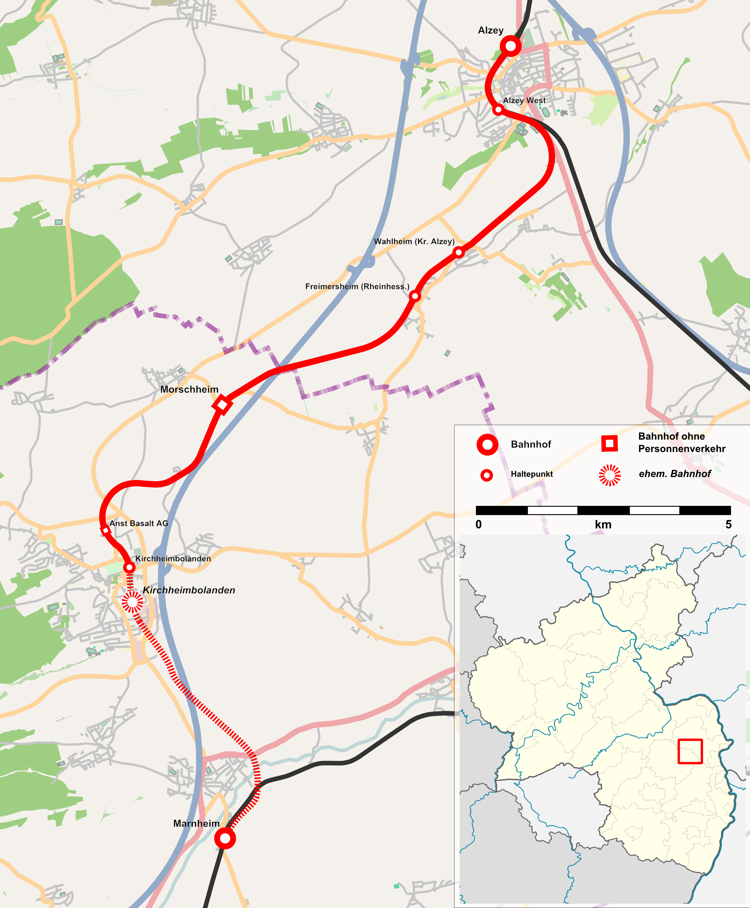
Deutsch: Verlauf der Donnersbergbahn |
| Date | |
| Source |
|
| Author | Hoff1980 |
| Permission (Reusing this file) |
This map was created from OpenStreetMap project data, collected by the community. This file is licensed under the Creative Commons Attribution-Share Alike 2.0 Generic license.
|
| Other versions |
|

File history
Click on a date/time to view the file as it appeared at that time.
| Date/Time | Thumbnail | Dimensions | User | Comment | |
|---|---|---|---|---|---|
| current | 11:50, 19 December 2012 | | 2,490 × 3,015 (1.37 MB) | Hoff1980 | location map changed |
| 19:31, 24 July 2012 |  | 2,490 × 3,015 (1.33 MB) | Hoff1980 | {{Information |Description={{de|1=Verlauf der Donnersbergbahn}} |Source=* [http://www.openstreetmap.org OpenStreetMap] data for the background * this map by NNW for th... |
File usage
The following pages on the English Wikipedia use this file (pages on other projects are not listed):
Global file usage
The following other wikis use this file:
- Usage on de.wikipedia.org
- Usage on www.wikidata.org