Size of this preview: 414 × 600 pixels. Other resolutions: 166 × 240 pixels | 331 × 480 pixels | 530 × 768 pixels | 707 × 1,024 pixels | 1,634 × 2,367 pixels.
Original file (1,634 × 2,367 pixels, file size: 2.56 MB, MIME type: image/png)
| This is a file from the Wikimedia Commons. Information from its description page there is shown below. Commons is a freely licensed media file repository. You can help. |
Summary
| Description |
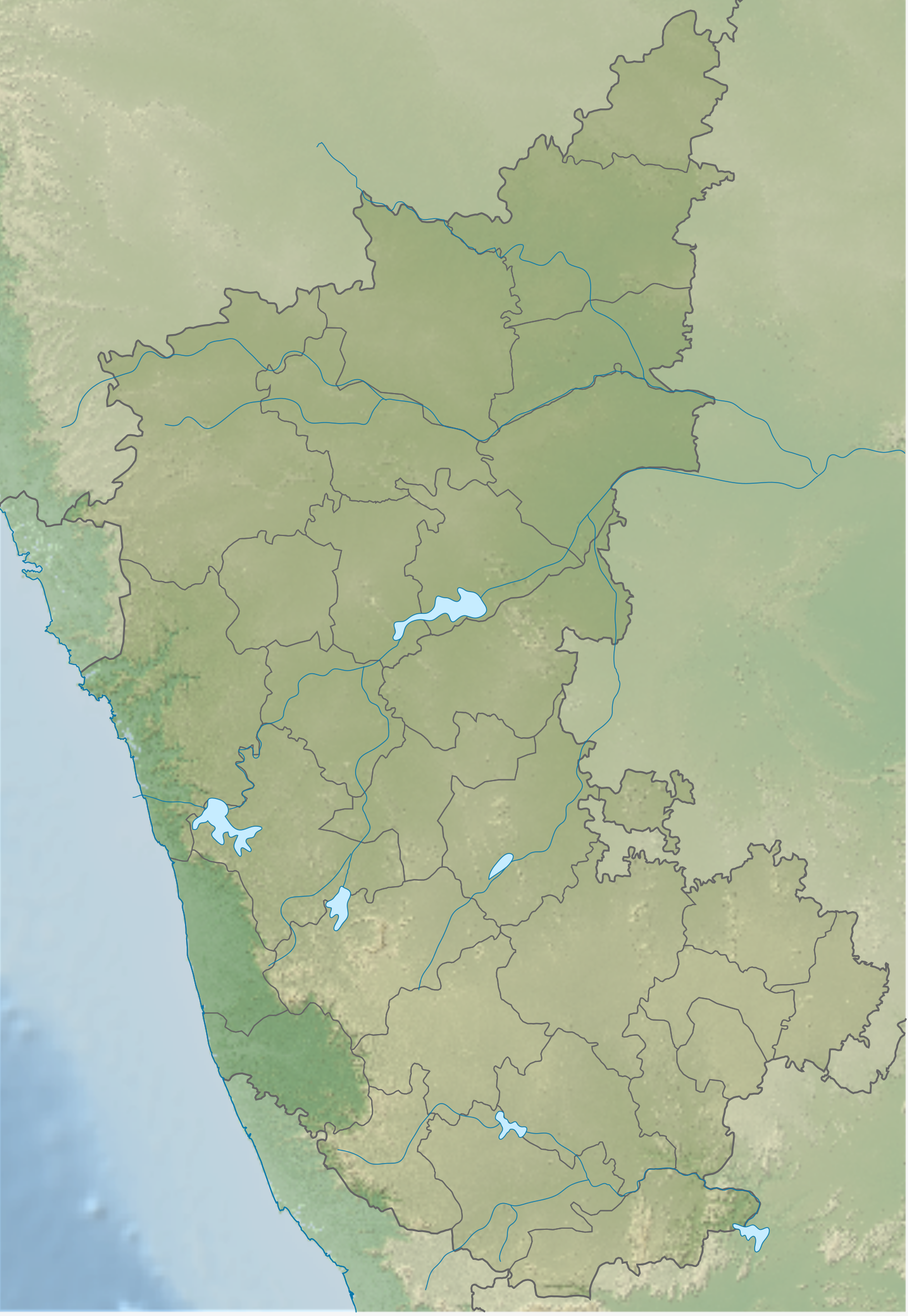
English: Relief map of Karnataka |
| Date | |
| Source | Based on India Karnataka location map.svg |
| Author | Own work based on User:Nayvik |
Licensing
This file is licensed under the Creative Commons Attribution-Share Alike 3.0 Unported license.
- You are free:
- to share – to copy, distribute and transmit the work
- to remix – to adapt the work
- Under the following conditions:
- attribution – You must give appropriate credit, provide a link to the license, and indicate if changes were made. You may do so in any reasonable manner, but not in any way that suggests the licensor endorses you or your use.
- share alike – If you remix, transform, or build upon the material, you must distribute your contributions under the same or compatible license as the original.
File history
Click on a date/time to view the file as it appeared at that time.
| Date/Time | Thumbnail | Dimensions | User | Comment | |
|---|---|---|---|---|---|
| current | 04:31, 21 April 2020 | | 1,634 × 2,367 (2.56 MB) | C1MM | Added rivers and made relief more accurate |
| 05:08, 21 March 2020 |  | 1,663 × 2,377 (4.18 MB) | C1MM | Uploaded a work by Own work based on User:Nayvik from Based on India Karnataka location map.svg with UploadWizard |
File usage
The following pages on the English Wikipedia use this file (pages on other projects are not listed):
Global file usage
The following other wikis use this file:
- Usage on eo.wikipedia.org
- Usage on fr.wikipedia.org
- Hampi
- Mysore
- Bangalore
- Bijapur
- Shravanabelagola
- Hospet
- Bellary
- Belur
- Halebid
- Mangalore
- Tumkur
- Centrale nucléaire de Kaiga
- Gokarna
- Mundgod
- Bylakuppe
- Manvi
- Bîdâr
- Badami
- Temple de Hoysaleśvara
- Srirangapatna
- Hassan (Karnataka)
- Malkhed
- Belagavi
- Hubli-Dharwad
- Shimoga
- Madikeri
- Udupi
- Lac Bogadi
- Chutes de Hogenakkal
- Chutes de Jog
- Bagalakote
- Robertson Pet
- Chikkaballapur
- Bhatkal
- Davangere
- Gulbarga
- Ramanagara
- Modèle:Géolocalisation/Karnataka
- Centrale de Raichur
- Aihole
- Dharwad
- Anjidiv
- Kolar
- Karwar
- Chikmagalur
- Chitradurga
- Sanctuaire de la faune sauvage de Pushpagiri
- Sanctuaire de la faune sauvage de Talakaveri
- Dukkarwadi
View more global usage of this file.