.svg)
.svg&action=edit&redlink=1)

Size of this PNG preview of this SVG file: 643 × 599 pixels. Other resolutions: 258 × 240 pixels | 515 × 480 pixels | 824 × 768 pixels | 1,099 × 1,024 pixels | 2,198 × 2,048 pixels | 2,716 × 2,531 pixels.
Original file (SVG file, nominally 2,716 × 2,531 pixels, file size: 421 KB)
| This is a file from the Wikimedia Commons. Information from its description page there is shown below. Commons is a freely licensed media file repository. You can help. |
.svg)
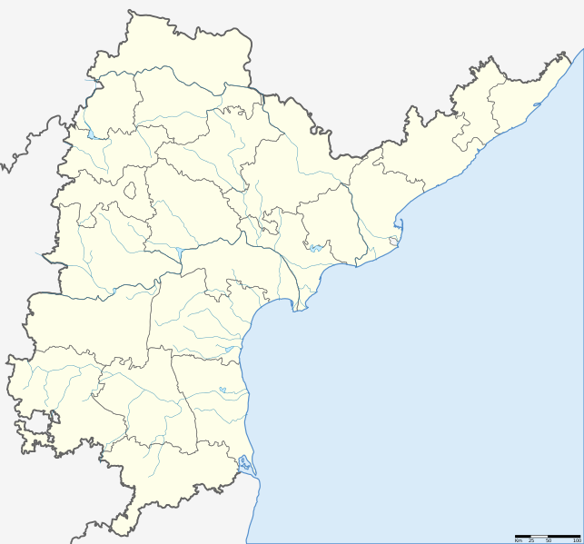
| Description | Location map of Andhra Pradesh. Coordinates: top=19.957, bottom=12.522, left=76.593, right=84.935. |
| Date | (UTC) |
| Source | |
| Author |
|
.svg)
| This is a retouched picture, which means that it has been digitally altered from its original version. The original can be viewed here: Andhra Pradesh locator map.svg: File:Andhra Pradesh locator map.svg.
|
I, the copyright holder of this work, hereby publish it under the following license:
This file is licensed under the Creative Commons Attribution-Share Alike 3.0 Unported license.
- You are free:
- to share – to copy, distribute and transmit the work
- to remix – to adapt the work
- Under the following conditions:
- attribution – You must give appropriate credit, provide a link to the license, and indicate if changes were made. You may do so in any reasonable manner, but not in any way that suggests the licensor endorses you or your use.
- share alike – If you remix, transform, or build upon the material, you must distribute your contributions under the same or compatible license as the original.
Original upload log
This image is a derivative work of the following images:
- File:Andhra Pradesh locator map (1956-2014).svg licensed with Cc-by-sa-3.0
- 2007-05-05T10:40:49Z Planemad 2716x2531 (381105 Bytes) {{WikiProject_India_Maps |Title=Andhra Pradesh locator Map |Description=Map of [[w:Andhra Pradesh]] with road and rail lines |Source= [http://www.etctours.net/gifs/apmap.jpg ETC Tours - Andhra map], [http://www.indianrailways
Uploaded with derivativeFX
File history
Click on a date/time to view the file as it appeared at that time.
| Date/Time | Thumbnail | Dimensions | User | Comment | |
|---|---|---|---|---|---|
| current | 07:13, 27 May 2013 | | 2,716 × 2,531 (421 KB) | Milenioscuro | standard colors + rivers |
| 13:09, 14 June 2012 |  | 2,716 × 2,531 (372 KB) | Arjunaraoc | Reverted to version as of 20:47, 12 August 2011 | |
| 04:02, 11 June 2012 |  | 2,716 × 2,531 (366 KB) | Arjunaraoc | Removed other state boundaries, as the location map error could be due to this. | |
| 20:47, 12 August 2011 |  | 2,716 × 2,531 (372 KB) | Abhijitsathe | {{Information |Description=Location map of Andhra Pradesh |Source=*File:Andhra_Pradesh_locator_map.svg |Date=2011-08-12 20:46 (UTC) |Author=*File:Andhra_Pradesh_locator_map.svg: '''Planemad''' *derivative work: ~~~ |Permission= |other_versions |
File usage
The following pages on the English Wikipedia use this file (pages on other projects are not listed):
Global file usage
The following other wikis use this file:
- Usage on kn.wikipedia.org
- Usage on new.wikipedia.org
- Usage on te.wikipedia.org
.svg)