Size of this preview: 800 × 374 pixels. Other resolutions: 320 × 150 pixels | 640 × 299 pixels | 1,024 × 479 pixels | 1,280 × 599 pixels | 2,272 × 1,063 pixels.
Original file (2,272 × 1,063 pixels, file size: 894 KB, MIME type: image/jpeg)
| This is a file from the Wikimedia Commons. Information from its description page there is shown below. Commons is a freely licensed media file repository. You can help. |
Summary
| Camera location | | View this and other nearby images on: OpenStreetMap |
|---|
| Description |
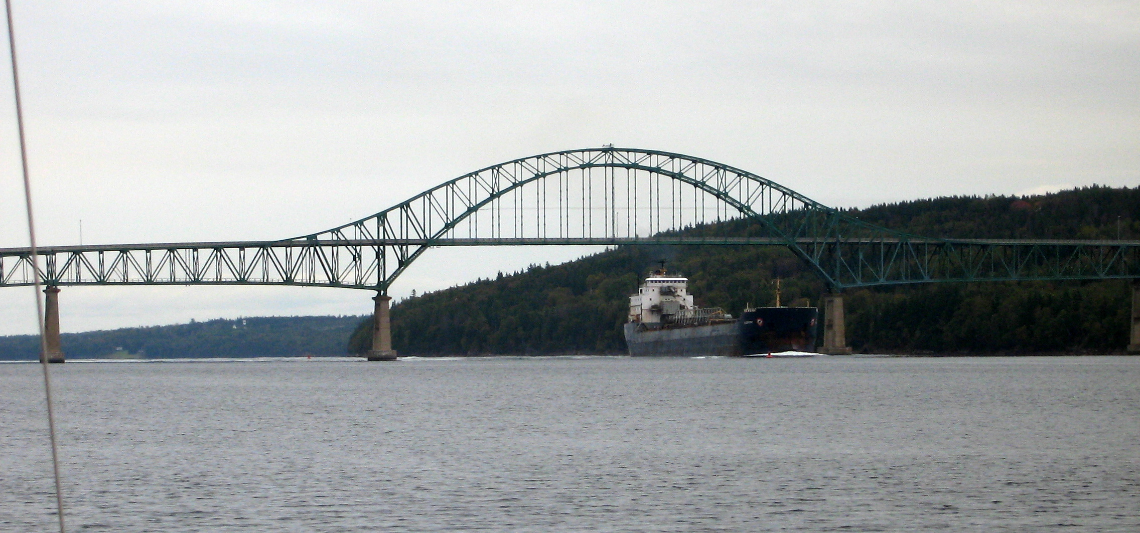
English: The medium sized self-unloader Algoport passing under the Seal Island Bridge entering Cape Breton Island's Bras d'Or Lake system to load at Little Narrows Gypsum. |
| Date | |
| Source | Own work |
| Author | Ken Heaton |
| Other versions |
_Bridge_(cropped).jpg)
_Bridge.jpg)
_Bridge.jpg&action=edit&redlink=1)
_Bridge.jpg)
_Bridge.jpg¶ms=046.233483_N_-060.491259_E_globe:Earth_type:camera__&language=en)
Licensing
I, the copyright holder of this work, hereby publish it under the following license:
This file is licensed under the Creative Commons Attribution-Share Alike 3.0 Unported license.
- You are free:
- to share – to copy, distribute and transmit the work
- to remix – to adapt the work
- Under the following conditions:
- attribution – You must give appropriate credit, provide a link to the license, and indicate if changes were made. You may do so in any reasonable manner, but not in any way that suggests the licensor endorses you or your use.
- share alike – If you remix, transform, or build upon the material, you must distribute your contributions under the same or compatible license as the original.
File history
Click on a date/time to view the file as it appeared at that time.
| Date/Time | Thumbnail | Dimensions | User | Comment | |
|---|---|---|---|---|---|
| current | 21:25, 6 May 2012 | | 2,272 × 1,063 (894 KB) | Ken Heaton |
File usage
The following pages on the English Wikipedia use this file (pages on other projects are not listed):
_Bridge.jpg)