Size of this preview: 800 × 600 pixels. Other resolutions: 320 × 240 pixels | 640 × 480 pixels | 1,024 × 768 pixels | 1,280 × 960 pixels | 2,272 × 1,704 pixels.
Original file (2,272 × 1,704 pixels, file size: 915 KB, MIME type: image/jpeg)
| This is a file from the Wikimedia Commons. Information from its description page there is shown below. Commons is a freely licensed media file repository. You can help. |
Summary
| Description |
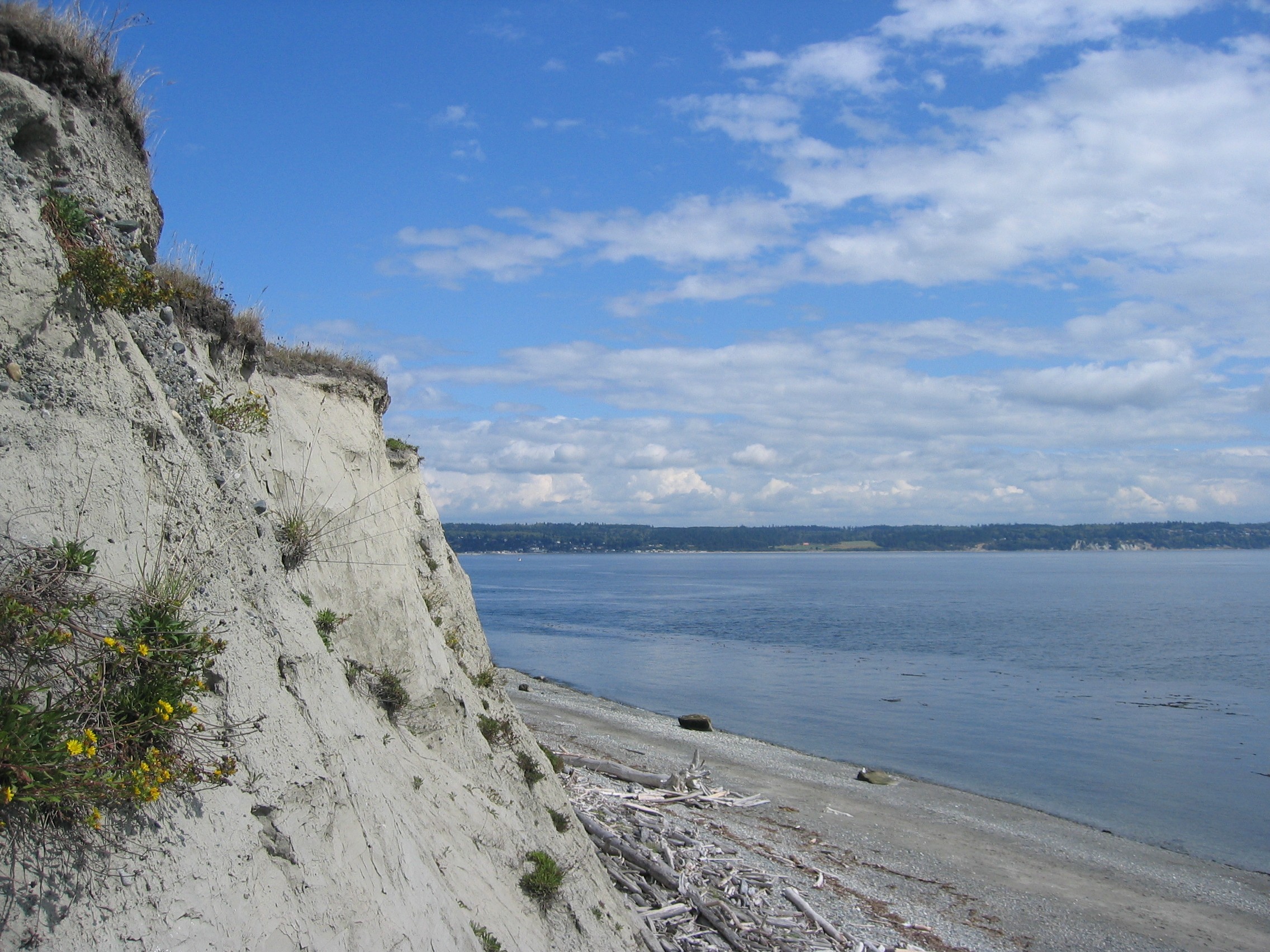
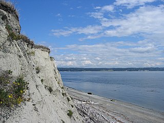
English: Cliff near Fort Casey on Whidbey Island, Washinton, USA. Français : Falaise près de fort Casey sur l'île de Whidbey, Washinton, Etats-Unis. Español: Acantilado cerca de la fortaleza Casey en la isla de Whidbey, Washinton, los E.E.U.U.. Deutsch: Klippe nahe Fort Casey auf Whidbey Insel, Washinton, USA. Nederlands: Klip dichtbij Fort Casey op Whidbey Eiland, Washinton, de V.S.. |
| Date | |
| Source | Own work |
| Author | “Jon Zander(Digon3)” |
| Camera location | | View this and other nearby images on: OpenStreetMap |
|---|
Licensing

|
This Photo was taken by Digon3
Attribution required. Please credit this : Jonathan Zander
|
I, Jonathan Zander, the copyright holder of this work, hereby publishes it under the following licenses:

|
Permission is granted to copy, distribute and/or modify this document under the terms of the GNU Free Documentation License, Version 1.2 or any later version published by the Free Software Foundation; with no Invariant Sections, no Front-Cover Texts, and no Back-Cover Texts. A copy of the license is included in the section entitled GNU Free Documentation License. |
| This file is licensed under the Creative Commons Attribution-Share Alike 3.0 Unported license. | ||
| Attribution: I, Jonathan Zander | ||
| ||
| This licensing tag was added to this file as part of the GFDL licensing update. |
This file is licensed under the Creative Commons Attribution-Share Alike 2.5 Generic license.
Attribution: I, Jonathan Zander
- You are free:
- to share – to copy, distribute and transmit the work
- to remix – to adapt the work
- Under the following conditions:
- attribution – You must give appropriate credit, provide a link to the license, and indicate if changes were made. You may do so in any reasonable manner, but not in any way that suggests the licensor endorses you or your use.
- share alike – If you remix, transform, or build upon the material, you must distribute your contributions under the same or compatible license as the original.
You may select the license of your choice.
File history
Click on a date/time to view the file as it appeared at that time.
| Date/Time | Thumbnail | Dimensions | User | Comment | |
|---|---|---|---|---|---|
| current | 21:54, 27 August 2006 | | 2,272 × 1,704 (915 KB) | Digon3 | {{Information |Description= Cliff near Fort Casey on Whidbey Island, Washinton |Source= Own work |Date=2005-09-08 |Author=“Jon Zander(Digon3)” |Permission= See below |other_versions= }} == Licensing == {{CopyrightedFreeUseProvidedTha |
File usage
The following pages on the English Wikipedia use this file (pages on other projects are not listed):
Global file usage
The following other wikis use this file:
- Usage on ar.wikipedia.org
- Usage on ca.wikipedia.org
- Usage on en.wikivoyage.org
- Usage on en.wiktionary.org
- Usage on eo.wikipedia.org