
Size of this preview: 480 × 599 pixels. Other resolutions: 192 × 240 pixels | 384 × 480 pixels | 615 × 768 pixels | 820 × 1,024 pixels | 1,641 × 2,048 pixels | 2,733 × 3,411 pixels.
Original file (2,733 × 3,411 pixels, file size: 207 KB, MIME type: image/png)
| This is a file from the Wikimedia Commons. Information from its description page there is shown below. Commons is a freely licensed media file repository. You can help. |
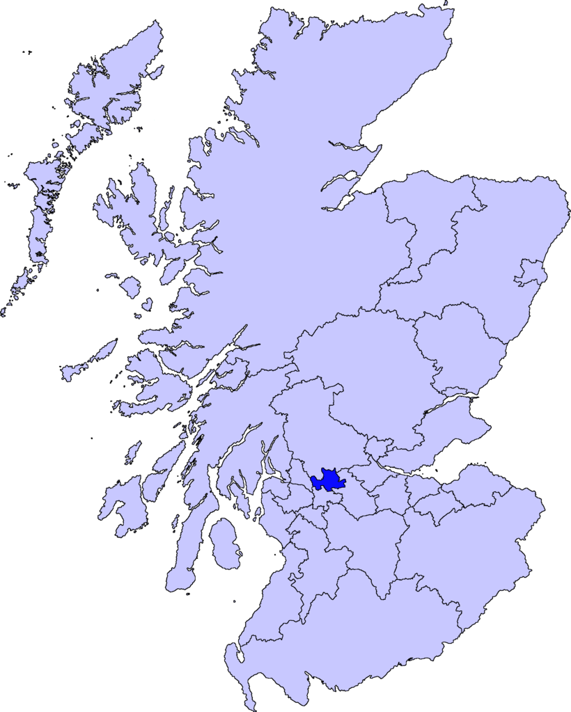
| Description | map of East Dunbartonshire | ||||||||
| Date | |||||||||
| Source |
Barryob, the copyright holder of this work, hereby publishes it under the following license:
|
||||||||
| Author | User:Barryob |

File history
Click on a date/time to view the file as it appeared at that time.
| Date/Time | Thumbnail | Dimensions | User | Comment | |
|---|---|---|---|---|---|
| current | 05:06, 10 April 2007 | | 2,733 × 3,411 (207 KB) | Barryob | |
| 21:57, 8 April 2007 |  | 2,733 × 3,411 (208 KB) | Barryob | ||
| 01:20, 4 April 2007 |  | 2,733 × 3,411 (208 KB) | Barryob | {{Information |Description=map of East Dunbartonshire |Source={{GFDL-user|Barryob}} |Date=2006-04-04 |Author=User:Barryob |Permission= |other_versions= }} Category:Maps of unitary councils of Scotland |
File usage
The following pages on the English Wikipedia use this file (pages on other projects are not listed):
Global file usage
The following other wikis use this file:
- Usage on ar.wikipedia.org
- Usage on ca.wikipedia.org
- Usage on cy.wikipedia.org
- Usage on de.wikipedia.org
- Usage on eu.wikipedia.org
- Lankide:Euskaldunaa
- Kirkintilloch
- Bearsden
- Bishopbriggs
- Txantiloi:Ekialdeko Dunbartonshire
- Wikiproiektu:Irlanda, Gales eta Eskoziako udalerriak
- Lennoxtown
- Lenzie
- Milngavie
- Auchenreoch
- Baldernock
- Balmore
- Clachan of Campsie
- Haughhead
- Huntershill Village
- Milton of Campsie
- Torrance (Eakialdeko Dunbartonshire)
- Twechar
- Woodilee Village
- Bardowie
- Barnellan
- Birdston
- Auchinairn
- Cadder
- Waterside (Ekialdeko Dunbartonshire)
- Usage on ga.wikipedia.org
- Usage on nn.wikipedia.org
- Usage on pt.wikipedia.org
- Usage on www.wikidata.org
- Usage on zh-min-nan.wikipedia.org
- Usage on zh.wikipedia.org