Size of this preview: 800 × 440 pixels. Other resolutions: 320 × 176 pixels | 640 × 352 pixels | 1,024 × 563 pixels | 1,280 × 704 pixels | 2,560 × 1,408 pixels | 4,767 × 2,621 pixels.
Original file (4,767 × 2,621 pixels, file size: 343 KB, MIME type: image/png)
| This is a file from the Wikimedia Commons. Information from its description page there is shown below. Commons is a freely licensed media file repository. You can help. |
Summary
| Description |
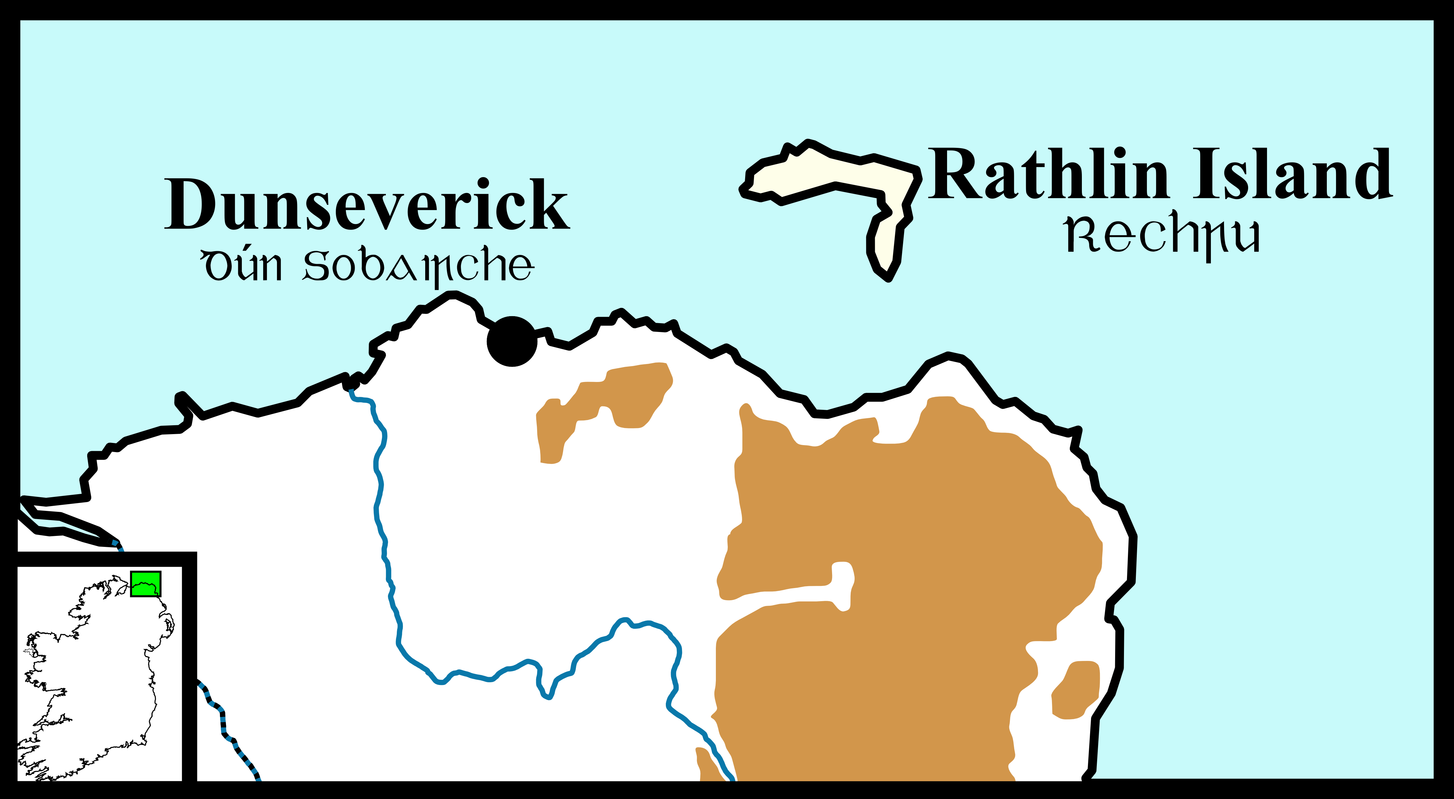
English: png map of Dunseverick and Rathlin Island circa 900 CE |
| Date | |
| Source | Own work |
| Author | Erakis |
| Other versions |
 |
Licensing
| I, the copyright holder of this work, release this work into the public domain. This applies worldwide. In some countries this may not be legally possible; if so: I grant anyone the right to use this work for any purpose, without any conditions, unless such conditions are required by law. |
File history
Click on a date/time to view the file as it appeared at that time.
| Date/Time | Thumbnail | Dimensions | User | Comment | |
|---|---|---|---|---|---|
| current | 14:00, 5 July 2015 | | 4,767 × 2,621 (343 KB) | Cmdrjameson | Compressed with pngout. Reduced by 156kB (31% decrease). |
| 13:44, 31 July 2010 |  | 4,767 × 2,621 (500 KB) | Erakis~commonswiki | Reduced pixel count to below 12.5 million | |
| 13:20, 31 July 2010 |  | 4,770 × 2,623 (500 KB) | Erakis~commonswiki | {{Information |Description={{en|1=png map of Dunseverick and Rathlin Island circa 900 CE}} |Source={{own}} |Author=Erakis |Date=2010-07-31 |Permission= |other_versions=Early_Scandinavian_Dublin_-_North-East.svg }} [[Category:Maps of I |
File usage
The following pages on the English Wikipedia use this file (pages on other projects are not listed):