Size of this preview: 664 × 599 pixels. Other resolutions: 266 × 240 pixels | 532 × 480 pixels | 851 × 768 pixels | 1,135 × 1,024 pixels | 1,608 × 1,451 pixels.
Original file (1,608 × 1,451 pixels, file size: 1,004 KB, MIME type: image/jpeg)
| This is a file from the Wikimedia Commons. Information from its description page there is shown below. Commons is a freely licensed media file repository. You can help. |
Summary
| Description |
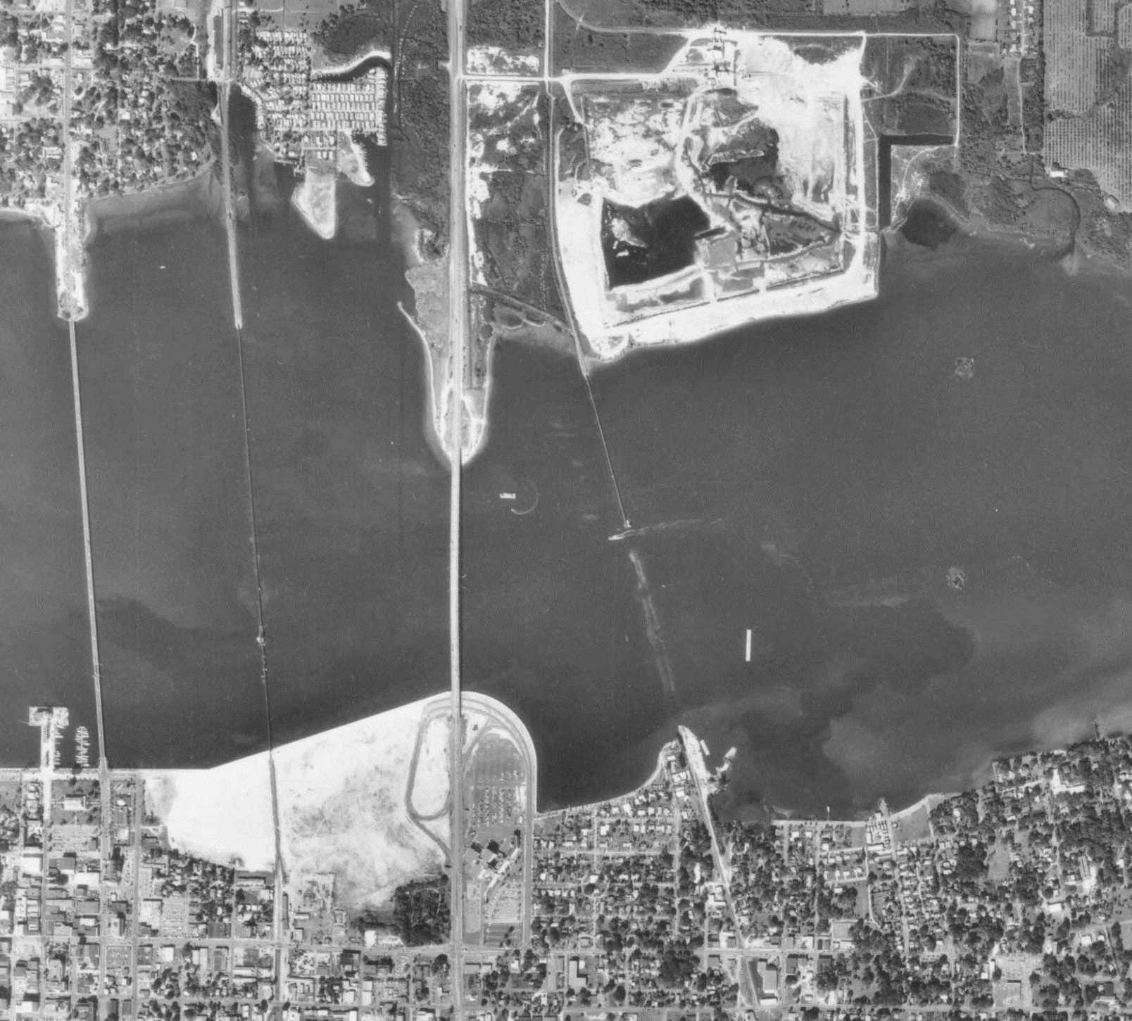
English: Cropped image from 1970 aerial of Bradenton to show the Bradenton Riverwalk area from 1970. This is to illustrate why the area got the nickname "The Sand Pile" |
| Source Holding Location | Map and Imagery Library, George A. Smathers Libraries, University of Florida |
| Date | |
| Source | Aerial photographs of Manatee County - Flight 1MM (1970), Tile 127, http://ufdc.ufl.edu/UF00071767/00015/106j |
| Author | U.S. Department of Agriculture |
| Permission (Reusing this file) |
This item is a work of the U.S. federal government and not subject to copyright pursuant to 17 U.S.C. §105 |
Licensing
This image or file is a work of a United States Department of Agriculture employee, taken or made as part of that person's official duties. As a work of the U.S. federal government, the image is in the public domain.
|
 |
| Annotations | This image is annotated: View the annotations at Commons |
File history
Click on a date/time to view the file as it appeared at that time.
| Date/Time | Thumbnail | Dimensions | User | Comment | |
|---|---|---|---|---|---|
| current | 21:01, 3 May 2018 | | 1,608 × 1,451 (1,004 KB) | The Grid | User created page with UploadWizard |
File usage
The following pages on the English Wikipedia use this file (pages on other projects are not listed):