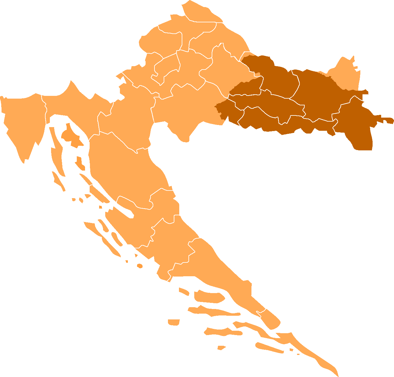
Size of this preview: 627 × 599 pixels. Other resolutions: 251 × 240 pixels | 502 × 480 pixels | 804 × 768 pixels | 1,071 × 1,024 pixels | 1,288 × 1,231 pixels.
Original file (1,288 × 1,231 pixels, file size: 28 KB, MIME type: image/png)
| This is a file from the Wikimedia Commons. Information from its description page there is shown below. Commons is a freely licensed media file repository. You can help. |
Summary
Croatia with Slavonia highlighted. Made from Morwen's maps. Corrected map made by user KirkEN. Croatian Srijem (Syrmia) shouldn't be colored in?
Licensing
| This file is licensed under the Creative Commons Attribution-Share Alike 3.0 Unported license. Subject to disclaimers. | ||
| ||
| This licensing tag was added to this file as part of the GFDL licensing update. |

|
Permission is granted to copy, distribute and/or modify this document under the terms of the GNU Free Documentation License, Version 1.2 or any later version published by the Free Software Foundation; with no Invariant Sections, no Front-Cover Texts, and no Back-Cover Texts. A copy of the license is included in the section entitled GNU Free Documentation License. Subject to disclaimers. |
File history
Click on a date/time to view the file as it appeared at that time.
| Date/Time | Thumbnail | Dimensions | User | Comment | |
|---|---|---|---|---|---|
| current | 19:16, 25 September 2023 | | 1,288 × 1,231 (28 KB) | Kirk979 | Reverted to version as of 20:02, 2 November 2009 (UTC) |
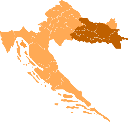
| 02:59, 5 November 2015 |  | 1,288 × 1,231 (42 KB) | Piroska | Syrmia colored orange | |
| 20:02, 2 November 2009 |  | 1,288 × 1,231 (28 KB) | Kirk979 | corrections | |
| 12:15, 7 June 2009 |  | 1,288 × 1,231 (28 KB) | Egs | Based on CroatiaPozega-Slavonia.png and the original of this file. Category:Files by Egs Category:Maps of the regions of Croatia Category:Maps of Slavonia | |
| 13:53, 30 August 2006 |  | 200 × 198 (19 KB) | Lohen11 | Croatia with Slavonia highlighted. Made from Morwen's maps. Corrected map made by user KirkEN. Category:Maps of Croatia |
File usage
The following pages on the English Wikipedia use this file (pages on other projects are not listed):
Global file usage
The following other wikis use this file:
- Usage on an.wikipedia.org
- Usage on ar.wikipedia.org
- Usage on be-tarask.wikipedia.org
- Usage on be.wikipedia.org
- Usage on ckb.wikipedia.org
- Usage on cs.wikipedia.org
- Usage on eo.wikipedia.org
- Usage on es.wikipedia.org
- Usage on fa.wikipedia.org
- Usage on fi.wikipedia.org
- Usage on fr.wikipedia.org
- Usage on gl.wikipedia.org
- Usage on he.wikipedia.org
- Usage on hu.wikipedia.org
- Usage on id.wikipedia.org
- Usage on it.wikipedia.org
- Usage on ka.wikipedia.org
- Usage on lt.wikipedia.org
- Usage on mk.wikipedia.org
- Usage on mzn.wikipedia.org
- Usage on nl.wikipedia.org
- Usage on no.wikipedia.org
- Usage on oc.wikipedia.org
- Usage on pl.wikipedia.org
- Usage on pl.wiktionary.org
- Usage on pt.wikipedia.org
- Usage on ro.wikipedia.org
- Usage on ru.wikipedia.org
- Usage on sl.wikipedia.org
- Usage on sr.wikipedia.org
- Usage on tg.wikipedia.org
- Usage on tr.wikipedia.org
- Usage on uk.wikipedia.org